Eatonton in Putnam County, Georgia — The American South (South Atlantic)
Site of First Log Courthouse
Photographed by Anna Inbody, June 30, 2012
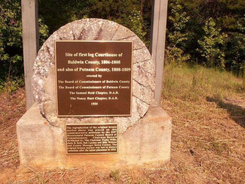
1. Site of First Log Courthouse Marker
Site of first log courthouse of Baldwin County, 1806-1808 and also of Putnam County, 1808-1809
Erected by the Board of Commissioners of Baldwin County, the Board of Commissioners of Putnam County, the Samuel Reid Chapter, D.A.R., the Nancy Hart Chapter, D.A.R.
1934
The reproduction of the original bronze marker above was placed on this commemorative millstone by the 2007 Bicentennial Putnam County Board of Commissioners: Chairman Howard McMichael Sr., Vice Chairman Wesley Willis, Janie B. Reid, Bob Landau and Billy Webster and County Manager Helen Carnes. The original bronze marker was lost to history sometime after the initial placement in 1934.
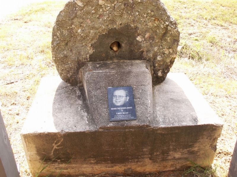
Reverse
Behind the scenes award to Larry Moore for raising the funds and executing the plans for the Hillsborough Rededication 11/18/07
Erected 2007 by Samuel Reid and Nancy Hart Chapters Daughters of the American Revolution (DAR) and Bicentennial Putnam County Board of Commissioners.
Topics and series. This historical marker is listed in these topic lists: Colonial Era • Settlements & Settlers. In addition, it is included in the Daughters of the American Revolution (DAR)
this page online
Location. 33° 20.692′ N, 83° 17.114′ W. Marker is in Eatonton, Georgia, in Putnam County. It is at the intersection of Old Phoenix Road Northeast and Sparta Highway, on the left when traveling north on Old Phoenix Road Northeast. Touch for map. Marker is at or near this postal address: 683 Sparta Hwy, Eatonton GA 31024, United States of America. Touch for directions.

Regionally, this marker is in Georgia’s Antebellum Trail and in the Piedmont. It is also in the American South and specifically in the Deep South. Globally, it is in North America, the Western Hemisphere, the Western World, and the Anglosphere. Historically, it finds itself in what was once the territory of the Mississippian Culture, one of the original Thirteen Colonies, one of the Confederate States of America, and the Antebellum South.
Other nearby markers. At least 8 other markers are within 7 miles of this marker, measured as the crow flies: Hillsborough (here, next to this marker); Mrs. Beall's Mill (approx. 1.6 miles away); Philadelphia United Methodist Church (approx. 1.6 miles away);
Photographed by Anna Inbody, June 30, 2012
2. Site of First Log Courthouse Marker Reverse
Photographed by Anna Inbody, June 30, 2012
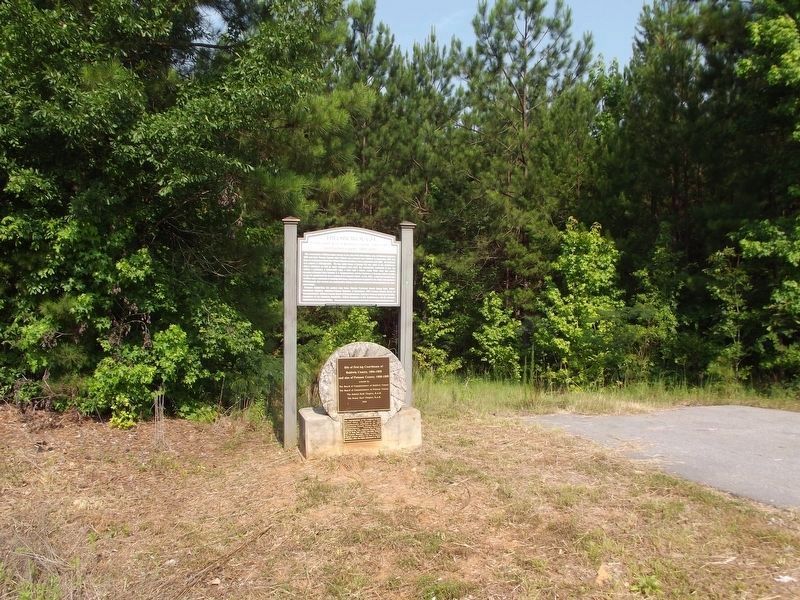
3. Site of First Log Courthouse Marker
Credits. This page was last revised on May 24, 2023. It was originally submitted on May 24, 2023, by Anna Inbody of Columbia, South Carolina. This page has been viewed 397 times since then and 47 times this year. Photos: 1, 2, 3. submitted on September 3, 2012, by Anna Inbody of Columbia, South Carolina. • J. Makali Bruton was the editor who published this page.
