Orange in Orange County, California — The American West (Pacific Coastal)
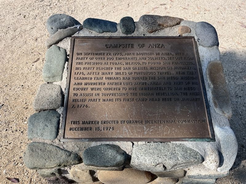
Campsite of Anza
Topics. This historical marker is listed in these topic lists: Colonial Era • Exploration • Native Americans • Settlements & Settlers. A significant historical date for this entry is January 4, 1776.
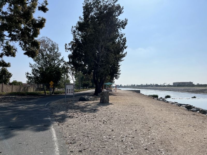
Location. 33° 50.758′ N, 117° 50.643′ W. Marker is in Orange, California, in Orange County. Marker is on North Cottonwood Street. Touch for map. Marker is at or near this postal address: 3345 N Cottonwood St, Orange CA 92865, United States of America. Touch for directions.
Other nearby markers. At least 8 other markers are within walking distance of this marker. Dwight David Eisenhower (approx. 0.7 miles away); Old Santa Ana (approx. 0.7 miles away); First Site of the Olive Mill (approx. 0.7 miles away); Boeing Autonetics (approx. 0.7 miles away); Block by Block (approx. 0.8 miles away); a different marker also named Block by Block (approx. 0.8 miles away); a different marker also named Block by Block (approx. 0.8 miles away); Steve Ambriz Memorial Park (approx. one mile away). Touch for a list and map of all markers in Orange.
Credits. This page was last revised on May 28, 2023. It was originally submitted on May 25, 2023, by Adam Margolis of Mission Viejo, California. This page has been viewed 112 times since then and 30 times this year. Photos: 1, 2. submitted on May 25, 2023, by Adam Margolis of Mission Viejo, California. • J. Makali Bruton was the editor who published this page.

