Northeast Anaheim in Orange in Orange County, California — The American West (Pacific Coastal)
Steve Ambriz Memorial Park

Photographed by Adam Margolis, May 18, 2023
1. Steve Ambriz Memorial Park Marker
Steven Frank Ambriz was elected to the Orange City Council in 2002, becoming one of the youngest members of the Council in our City's history. Born and raised in Orange, Steve was a "Proud Panther" from Orange High School. An important personal objective during his City Council term was to improve the quality of life for families through the enjoyment of parks and open space. This park represents the achievement of one of his goals and commemorates his commitment to the community.
Councilman Ambriz will always be remembered for his dedication to the City of Orange
July 22, 1970 - May 25, 2006
Carolyn V. Caveeche · Mayor
Denis R. Bilodean · Mayor pro tem
Teresa "Tita" Smith · Councilmember
Fred M. Whitaker · Councilmember
Jon Dumitru · Councilmember
John W. Sibley, City Manager
Erected 2012 by City of Orange.
Topics. This historical marker is listed in these topic lists: Charity & Public Work • Parks & Recreational Areas. A significant historical date for this entry is May 25, 2006.
Location. 33° 50.2′ N, 117° 51.44′ W. Marker is in Orange, California, in Orange County. It is in Northeast
this page online

Regionally, this marker is in Greater Los Angeles and in the Peninsular Ranges. It is also on the American Pacific Coast. Globally, it is in North America, on the Ring of Fire, in the Pacific Rim, in the Western Hemisphere, in the Western World, and in the Anglosphere. Historically, it finds itself in what was once New Spain and also Mexico’s Alta California.
Other nearby markers. At least 8 other markers are within 2 miles of this marker, measured as the crow flies: Block by Block (approx. 0.6 miles away); a different marker also named Block by Block (approx. 0.6 miles away); a different marker also named Block by Block (approx. 0.6 miles away); Old Santa Ana (approx. 0.6 miles away); Campsite of Anza (approx. one mile away); First Site of the Olive Mill (approx. 1.1 miles away); Boeing Autonetics (approx. 1.1 miles away); Dwight David Eisenhower (approx. 1.1 miles away). Touch for a list and map of all markers in Orange.
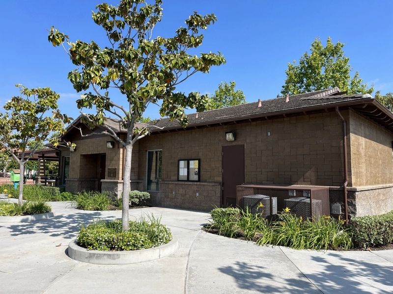
Photographed by Adam Margolis, May 18, 2023
2. Steve Ambriz Memorial Park Marker

Photographed by Adam Margolis, May 18, 2023
3. Steve Ambriz Memorial Park Sign
Credits. This page was last revised on May 29, 2023. It was originally submitted on May 25, 2023, by Adam Margolis of Mission Viejo, California. This page has been viewed 782 times since then and 99 times this year. Photos: 1, 2, 3. submitted on May 25, 2023, by Adam Margolis of Mission Viejo, California. • J. Makali Bruton was the editor who published this page.
