Anaheim Resort in Orange County, California — The American West (Pacific Coastal)
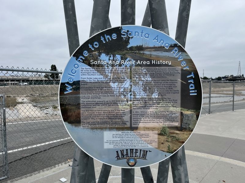
Santa Ana River Area History
Welcome to the Santa Ana River Trail
From Dollar Lake and Dry Lake on to Big Bear Lake in the San Bernardino Mountains the river extends 96 miles to the ocean at Huntington Beach.
Constructed in 1941, the Prado Dam and its flood control reservoir diverted the river into groundwater recharge areas to provide about a third of the Orange County municipal water. The river now mainly services as flood control and drainage discharge.
The watershed supports up to 200 bird species, fifty mammal species, 13 reptile species, seven amphibian species, and 15 fish species, including the steelhead trout.
The first Native Americans to live in the area were nomadic tribes. About 8,000 years ago, the climate experienced a change, becoming more arid, and the original nomadic tribes began to stay in individual places longer.
The river was first crossed by Europeans in 1769, and it received the name from members of the Spanish Portola expedition. Difficult working and living conditions and European diseases killed much of the native population during the roughly fifty year long Mission Period. Eventually, the tribes were forced into the surrounding desert or the high mountains.
Following the Mission Period came the Rancho Period, when the land holdings of the missions were subdivided into ranchos and owned by individuals. When the California Republic was assimilated into the United States in 1848, American settlers began to move into the Santa Ana River region in great numbers and irrigated agriculture began on a large scale.
In 1860, a gold rush occurred in the San Bernardino Mountains and the Santa Ana River served as a conduit for miners traveling to the region. Through the late 19th century, citrus fields covered much of the costal area. Thus the name "Orange County".
In 1862, 1934, and 1938, devastating floods poured down the Santa Ana River, leading to much of the river being channelized and dammed. With the elimination of the threat of floods, the focus shifted from agricultural to urban development during the 1950's and 1960's.
Topics. This historical marker is listed in these topic lists: Animals • Environment • Native Americans • Settlements & Settlers. A significant historical year for this entry is 1941.
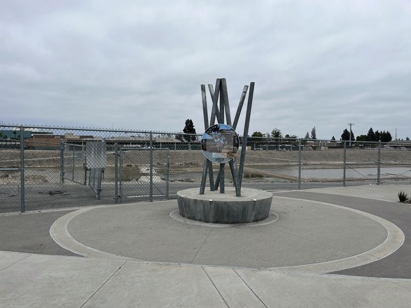
Location. 33° 48.351′ N, 117° 52.544′ W. Marker is in Anaheim, California, in Orange County. It is in Anaheim Resort. Marker is on Katella Ave., on the right when traveling east. Touch for map. Marker is at or near this postal address: 16700 Santa Ana River Trail, Anaheim CA 92806, United States of America. Touch for directions.
Other nearby markers. At least 8 other markers are within 2 miles of this marker, measured as the crow flies. The Anamorph (about 600 feet away, measured in a direct line); Michelle Carew Community Courtyard (approx. 0.6 miles away); Gene Autry (approx. 0.6 miles away); John C. Fremont Camp (approx. 1.2 miles away); This Big Saw (approx. 1.3 miles away); Orange's First Public Schoohouse (approx. 1.6 miles away); Santa Fe Train Depot (approx. 1.6 miles away); Santa Fe Depot And Park (approx. 1.6 miles away). Touch for a list and map of all markers in Anaheim.
Credits. This page was last revised on May 29, 2023. It was originally submitted on May 25, 2023, by Adam Margolis of Mission Viejo, California. This page has been viewed 215 times since then and 93 times this year. Photos: 1, 2. submitted on May 25, 2023, by Adam Margolis of Mission Viejo, California. • J. Makali Bruton was the editor who published this page.

