Alpine in Utah County, Utah — The American Mountains (Southwest)
Thomas Whitby Home
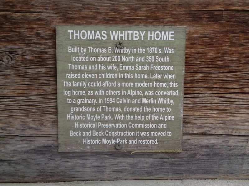
Photographed by Jason Voigt, May 10, 2023
1. Thomas Whitby Home Marker
Topics. This historical marker is listed in this topic list: Parks & Recreational Areas. A significant historical year for this entry is 1994.
Location. 40° 27.876′ N, 111° 46.049′ W. Marker is in Alpine, Utah, in Utah County. It can be reached from Grove Circle north of East 770 North. Marker is located at Moyle Historical Park. Touch for map. Marker is at or near this postal address: 578 Grove Cir, Alpine UT 84004, United States of America. Touch for directions.

Regionally, this marker is in the Wasatch Front and in Greater Provo. It is also in the American Mountain West and on the Colorado Plateau.
this page online
Other nearby markers. At least 8 other markers are within walking distance of this marker: Outhouse (here, next to this marker); Relief Society Grainary (a few steps from this marker); Carlisle Cabin (a few steps from this marker); John Rowe Moyle (a few steps from this marker); John Rowe Moyle Tower Home and Surroundings (a few steps from this marker); Milk Storage House (a few steps from this marker); John Rowe Moyle Tower (within shouting distance of this marker); The Great Trek (within shouting distance of this marker). Touch for a list and map of all markers in Alpine.
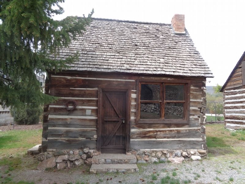
Photographed by Jason Voigt, May 10, 2023
2. Thomas Whitby Home Marker
Located at Moyle Historical Park.
Credits. This page was last revised on May 26, 2023. It was originally submitted on May 26, 2023, by Jason Voigt of Glen Carbon, Illinois. This page has been viewed 240 times since then and 43 times this year. Photos: 1, 2. submitted on May 26, 2023, by Jason Voigt of Glen Carbon, Illinois.
