Leesville in Vernon Parish, Louisiana — The American South (West South Central)
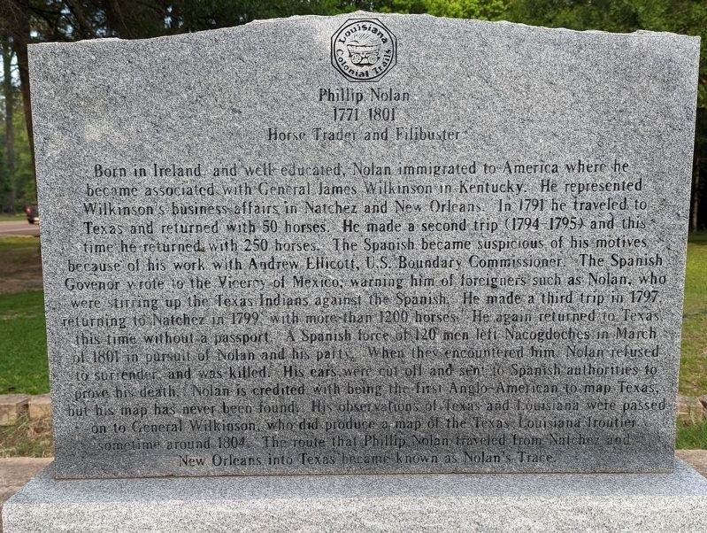
Phillip Nolan
1771-1801
— Horse Trader and Filibuster —
Born in Ireland and well educated, Nolan immigrated to America where he became associated with General James Wilkinson in Kentucky. He represented Wilkinson's business affairs in Natchez and New Orleans. In 1791 he traveled to Texas and returned with 50 horses. He made a second trip (1794-1795) and this time he returned with 250 horses. The Spanish became suspicious of his motives because of his work with Andrew Ellicott, U.S. Boundary Commissioner. The Spanish Governor wrote to the Viceroy of Mexico, warning him of foreigners such as Nolan, who were stirring up the Texas Indians against the Spanish. He made a third trip in 1797 returning to Natchez in 1799, with more than 1200 horses. He again returned to Texas this time without a passport. A Spanish force of 120 men left Nacogdoches in March of 1801 in pursuit of Nolan and his party. When they encountered him. Nolan refused to surrender, and was killed. His ears were cut off and sent to Spanish authorities to prove his death. Nolan is credited with being the first Anglo-American to map Texas, but his map has never been found. His observations of Texas and Louisiana were passed on to General Wilkinson, who did produce a map of the Texas Louisiana frontier sometime around 1804. The route that Phillip Nolan traveled from Natchez and New Orleans into Texas became known as Nolan's Trace.
Erected by Louisiana Colonial Trails.
Topics. This historical marker is listed in these topic lists: Colonial Era • Roads & Vehicles • Settlements & Settlers. A significant historical month for this entry is March 1801.
Location. 31° 8.555′ N, 93° 16.823′ W. Marker is in Leesville, Louisiana, in Vernon Parish. Marker is on Nolan Trace (State Highway 8) east of John Paul Jones Avenue, on the right when traveling east. Touch for map. Marker is at or near this postal address: 1401 Nolan Trace, Leesville LA 71446, United States of America. Touch for directions.
Other nearby markers. At least 8 other markers are within 2 miles of this marker, measured as the crow flies. The Hicks Property (about 300 feet away, measured in a direct line); Sgt. Abraham Lincoln "Abe" Allen (approx. 0.3 miles away); Saint Michael The Archangel Catholic Church 1913 (approx. one mile away); The Red Hound Bar (approx. 1.1 miles away); National Hotel (approx. 1.1 miles away); Merchants & Farmers Bank (approx. 1.1 miles away); The Vernon Bank (approx. 1.1 miles away); Dreamland Theatre (approx. 1.1 miles away). Touch for a list and map of all markers in Leesville.
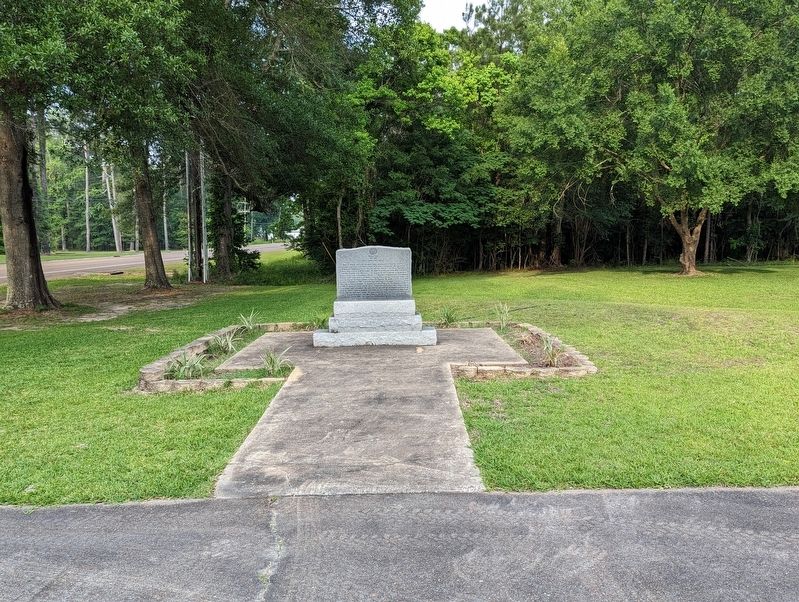
More about this marker. Located in the parking lot of the Vernon Parish Library
Credits. This page was last revised on May 26, 2023. It was originally submitted on May 26, 2023, by Cajun Scrambler of Assumption, Louisiana. This page has been viewed 148 times since then and 50 times this year. Photos: 1, 2. submitted on May 26, 2023, by Cajun Scrambler of Assumption, Louisiana.

