Near Cash Corner in Albemarle County, Virginia — The American South (Mid-Atlantic)
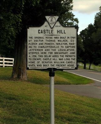
Castle Hill
Erected 1928 by Virginia Conservation and Development Commission. (Marker Number W-204.)
Topics and series. This historical marker is listed in these topic lists: Colonial Era • Patriots & Patriotism • Settlements & Settlers • War, US Revolutionary. In addition, it is included in the Virginia Department of Historic Resources (DHR) series list. A significant historical date for this entry is June 4, 1812.
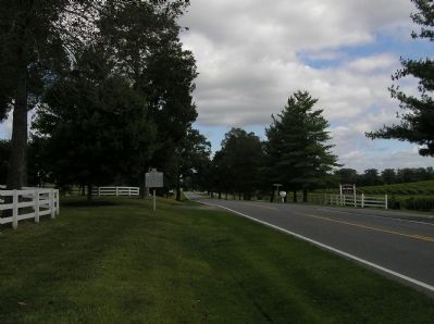
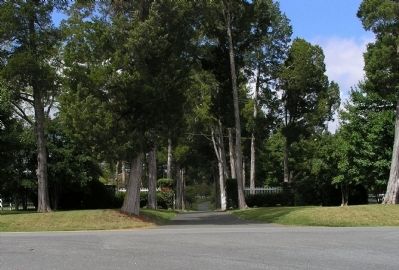
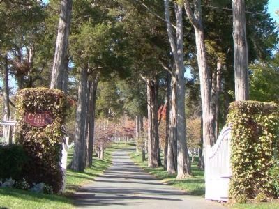
Location. 38° 4.643′ N, 78° 17.532′ W. Marker is near Cash Corner, Virginia, in Albemarle County. Marker is on Gordonsville Road (Virginia Route 231) 1˝ miles Virginia Route 640, on the left when traveling north. One of the estates within the Southwest Mountains Historic Rural Historic District. Touch for map. Marker is at or near this postal address: 6132 Gordonsville Road, Keswick VA 22947, United States of America. Touch for directions.
Other nearby markers. At least 8 other markers are within 6 miles of this marker, measured as the crow flies. St. John School — Rosenwald Funded (approx. 0.9 miles away); Grace Episcopal Church (approx. 1.4 miles away); Revolutionary War Campaign of 1781 (approx. 1.9 miles away); Albemarle County / Louisa County (approx. 2.3 miles away); Maury’s School (approx. 2.8 miles away); Southwest Mountains Rural Historic District (approx. 4 miles away); General Thomas Sumter (approx. 5.1 miles away); a different marker also named Southwest Mountains Rural Historic District (approx. 5.2 miles away).
Related marker. Click here for another marker that is related to this marker. To better understand the relationship, study each marker in the order shown.
Also see . . .
1. Castle Hill: Journey Through Hallowed Ground. (Submitted on September 13, 2009, by PaulwC3 of Northern, Virginia.)
2. Historic Castle Hill Preserved. (Submitted on September 13, 2009, by PaulwC3 of Northern, Virginia.)
Credits. This page was last revised on February 2, 2023. It was originally submitted on September 13, 2009, by PaulwC3 of Northern, Virginia. This page has been viewed 1,929 times since then and 125 times this year. Photos: 1, 2, 3. submitted on September 13, 2009, by PaulwC3 of Northern, Virginia. 4. submitted on October 26, 2010, by J. J. Prats of Powell, Ohio. • Kevin W. was the editor who published this page.


