Near Liberty Center in Henry County, Ohio — The American Midwest (Great Lakes)
Prairie des Mascoutins / Damascus
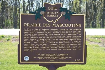
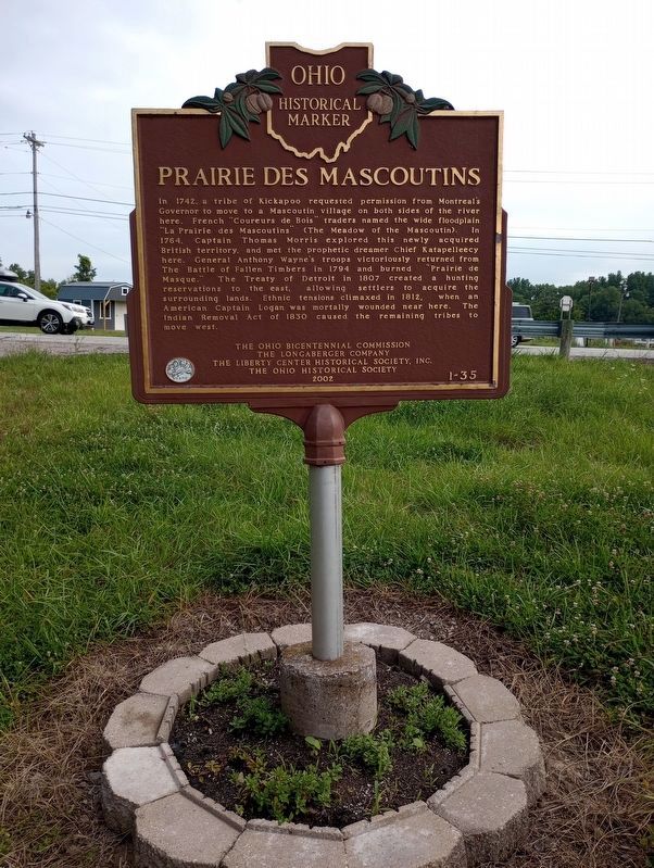
Prairie des Mascoutins
In 1742, a tribe of Kickapoo requested permission from Montreal's Governor to move to a Mascoutin village on both sides of the river here. French "Coureurs de Bois" traders named the wide floodplain "La Prairie des Mascoutins" (The Meadow of the Mascoutin). In 1764, Captain Thomas Morris explored this newly acquired British territory, and met the prophetic dreamer Chief Katapelleecy here. General Anthony Wayne's troops victoriously returned from The Battle of Fallen Timbers in 1794 and burned "Prairie de Masque." The Treaty of Detroit in 1807 created a hunting reservation to the east, allowing settlers to acquire the surrounding lands. Ethnic tensions climaxed in 1812, when an American Captain Logan was mortally wounded near here. The Indian Removal Act of 1830 caused the remaining tribes to move west.
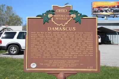
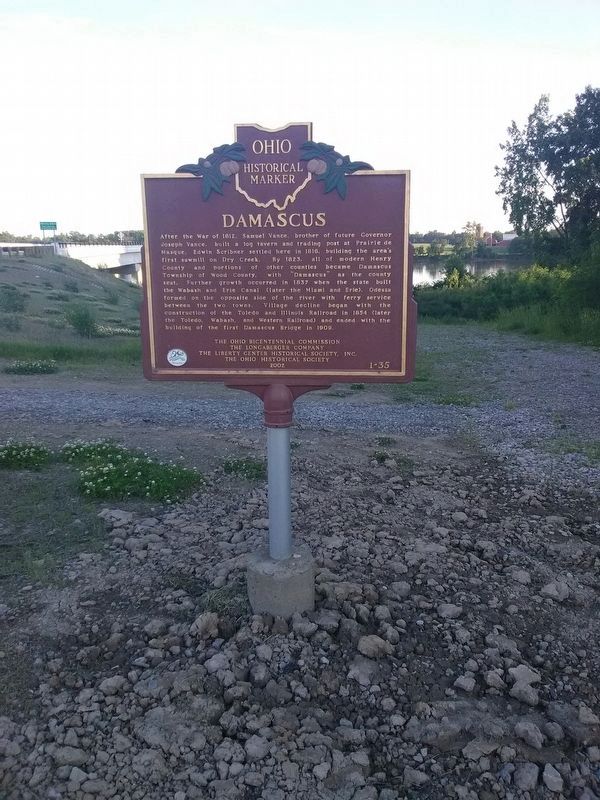
Damascus
After the War of 1812, Samuel Vance, brother of future Governor Joseph Vance, built a log tavern and trading post at Prairie de Masque. Edwin Scribner settled here in 1816, building the area's first sawmill on Dry Creek. By 1823, all of modern Henry County and portions of other counties became Damascus Township of Wood County, with "Damascus" as the county seat. Further growth occurred in 1837 when the state built the Wabash and Erie Canal (later the Miami and Erie). Odessa formed on the opposite side of the river with ferry service between the two towns. Village decline began with the construction of the Toledo and Illinois Railroad in 1854 (later the Toledo, Wabash, and Western Railroad) and ended with the building of the first Damascus Bridge in 1909.
Erected 2001 by Ohio Bicentennial Commission, The Longaberger Company, The Liberty Center Historical Society, Inc., and The Ohio Historical Society. (Marker Number 1-35.)
Topics and series. This historical marker is listed in these topic lists: Native Americans • Settlements & Settlers • War of 1812 • Wars, US Indian. In addition, it is included in the Ohio Historical Society / The Ohio History Connection series list. A significant historical year for this entry is 1742.
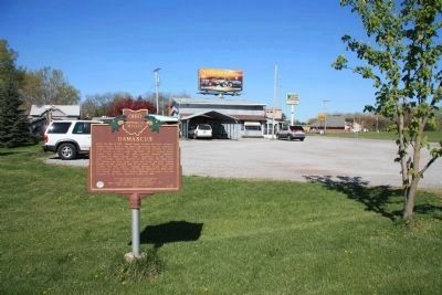
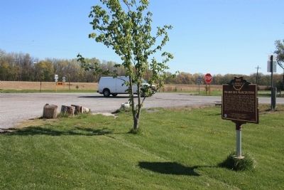
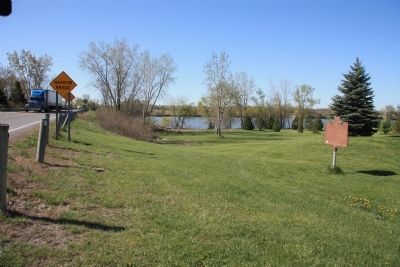
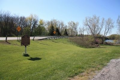
Location. 41° 24.687′ N, 84° 0.576′ W. Marker is near Liberty Center, Ohio, in Henry County. Marker is at the intersection of U.S. 24 and Ohio Route 109, on the left when traveling west on U.S. 24. This marker is located along the southeastern edge of the parking lot for a small carry-out located along US 24, where state route 109 heads east and crosses the Maumee River. Touch for map. Marker is in this post office area: Liberty Center OH 43532, United States of America. Touch for directions.
Other nearby markers. At least 8 other markers are within 4 miles of this marker, measured as the crow flies. Liberty Center (approx. 1.7 miles away); Rex Lingruen (approx. 2 miles away); World War II Memorial (approx. 2.1 miles away); Liberty Center, Ohio / Wabash Depot (approx. 2.2 miles away); Fredrick Steward Memorial Park (approx. 2.2 miles away); Olive Branch Cemetery (approx. 2.8 miles away); a different marker also named Liberty Center (approx. 2.8 miles away); Texas Veterans Memorial (approx. 3.1 miles away). Touch for a list and map of all markers in Liberty Center.
Credits. This page was last revised on September 9, 2023. It was originally submitted on April 15, 2012, by Dale K. Benington of Toledo, Ohio. This page has been viewed 1,061 times since then and 46 times this year. Last updated on May 27, 2023, by Trevor L Whited of Kokomo, Indiana. Photos: 1, 2, 3, 4, 5, 6. submitted on April 17, 2012, by Dale K. Benington of Toledo, Ohio. 7. submitted on November 23, 2020, by Craig Doda of Napoleon, Ohio. 8. submitted on September 7, 2023, by Craig Doda of Napoleon, Ohio. • J. Makali Bruton was the editor who published this page.
