Key West in Monroe County, Florida — The American South (South Atlantic)
Mary
Key West Wreckers Sloop
Photographed by Brandon D Cross, May 4, 2023
1. Mary Marker
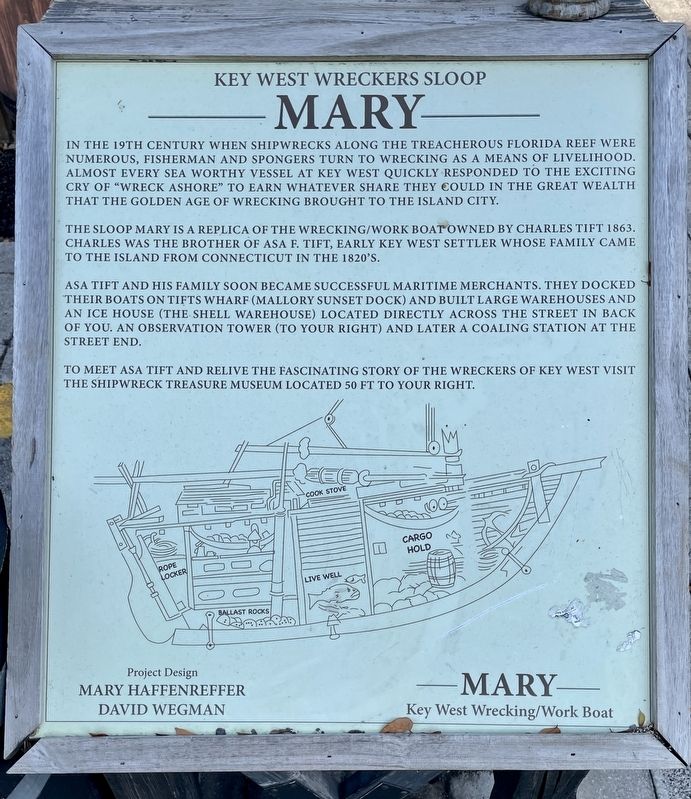
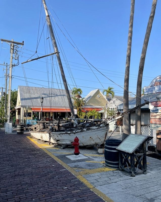
The sloop Mary is a replica of the wrecking/work boat owned by Charles Tift in 1863. Charles was the brother of Asa F. Tift, early Key West settler whose family came to the island from Connecticut in the 1820’s.
Asa Tift and his family soon became successful maritime merchants. They docked their boats on Tift’s Wharf (Mallory Sunset Dock) and built large warehouses and an ice house (The Shell Warehouse) located directly across the street in back of you. An observation tower (to your right) and later a coaling station at the street end.
To meet Asa Tift and relive the fascinating story of the wreckers of Key West visit the Shipwreck Treasure Museum located 50 ft to your right.
—Mary—
Key West Wrecking/Work Boat
Project Design
Mary Haffenreffer
David Wegman
Erected by Shipwreck
this page online
Topics. This historical marker is listed in these topic lists: Disasters • Industry & Commerce • Settlements & Settlers • Waterways & Vessels. A significant historical year for this entry is 1863.
Location. 24° 33.56′ N, 81° 48.408′ W. Marker is in Key West, Florida, in Monroe County. It is at the intersection of Wall Street and Tifts Street, on the right when traveling north on Wall Street. Touch for map. Marker is at or near this postal address: 401 Wall Street, Key West FL 33040, United States of America. Touch for directions.

Regionally, this marker is on the Florida Keys. It is also in the American South and on the Gulf Coast. Globally, it is in the North Atlantic Region, North America, a Gulf of Mexico state, the Western Hemisphere, the Western World, and the Anglosphere. Historically, it finds itself in what was once New Spain, the territory of the Mississippian Culture, one of the Confederate States of America, and the Antebellum South.
Other nearby markers. At least 8 other markers are within walking distance of this marker: Mallory Square (here, next to this marker); Mel Fisher and 1622 Fleet Shipwreck Memorial
Photographed by Brandon D Cross, May 4, 2023
2. Mary Marker
Also see . . . Key West’s Wreckers Sloop Mary. (Submitted on May 28, 2023, by Brandon D Cross of Flagler Beach, Florida.)
Credits. This page was last revised on June 6, 2023. It was originally submitted on May 28, 2023, by Brandon D Cross of Flagler Beach, Florida. This page has been viewed 499 times since then and 52 times this year. Photos: 1, 2. submitted on May 28, 2023, by Brandon D Cross of Flagler Beach, Florida. • Bernard Fisher was the editor who published this page.
