Roaring Springs in Motley County, Texas — The American South (West South Central)
Roaring Spring
Photographed by Allen Lowrey, May 27, 2023
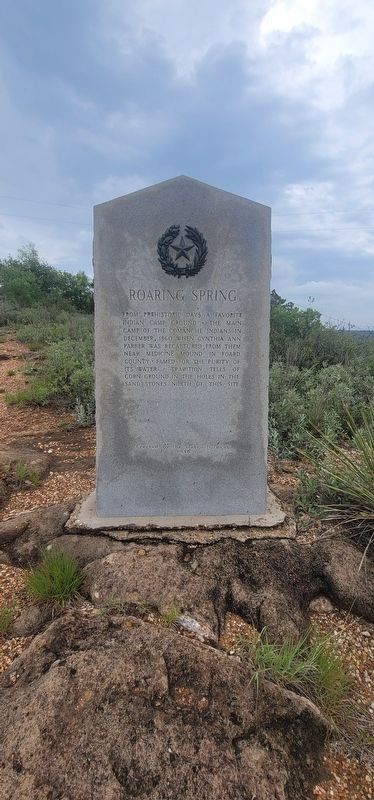
1. Roaring Spring Marker
From prehistoric days a favorite Indian camp ground • The main camp of the Comanche Indians in December, 1860 when Cynthia Ann Parker was recaptured from them near Medicine Mound in Foard County • Famed for the purity of its water • Tradition tells of corn ground in the holes in the sand stones north of this site
Erected 1936 by State of Texas. (Marker Number 14215.)
Topics and series. This historical marker is listed in this topic list: Indigenous Peoples and Communities. In addition, it is included in the Texas 1936 Centennial Markers and Monuments series list. A significant historical month for this entry is December 1860.
Location. 33° 51.168′ N, 100° 51.882′ W. Marker is in Roaring Springs, Texas, in Motley County. It can be reached from Farm to Market Road 3203 half a mile west of Texas Route 70. THIS MARKER IS ON PRIVATE PROPERTY. Marker is short hike down a path from the road. Touch for map. Marker is at or near this postal address: 1001 FM 3203, Roaring Springs TX 79256, United States of America. Touch for directions.

Regionally, this marker is on the South Plains. It is also on the American Great Plains and specifically on the Southern Plains. Globally, it is in North America, a Gulf of Mexico state, the Western Hemisphere, the Western World, and the Anglosphere. Historically, it finds itself in what was once New Spain, the Comanchería, the Republic of Texas, and one of the Confederate States of America.
Other nearby markers. At least 8 other markers are within 12 miles of this marker, measured as the crow flies: Quanah Parker Trail (approx. 0.6 miles away); Roaring Springs Depot (approx. 3.2 miles away); Matador Ranch (approx. 10.3 miles away); Motley County (approx. 10.3 miles away); Traweek House (approx. 11.2 miles away); Bob's Oil Well (approx. 11.2 miles away); a different marker
this page online
Photographed by Allen Lowrey, May 27, 2023
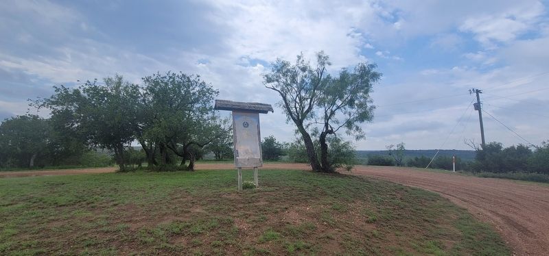
2. Roaring Spring Marker
Wooden sign with a poster of the marker.
Photographed by Allen Lowrey, May 27, 2023
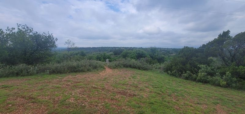
3. Roaring Spring Marker
Marker is along a pathway from the road.
Credits. This page was last revised on December 2, 2024. It was originally submitted on May 29, 2023, by Allen Lowrey of Amarillo, Texas. This page has been viewed 499 times since then and 62 times this year. Photos: 1, 2, 3. submitted on May 29, 2023, by Allen Lowrey of Amarillo, Texas. • James Hulse was the editor who published this page.
