
Southwest Columbus in Franklin County, Ohio — The American Midwest (Great Lakes)
Joseph M. Briggs and Briggsdale
⎯⎯⎯
Briggsdale
Photographed by Rev. Ronald Irick, October 19, 2021
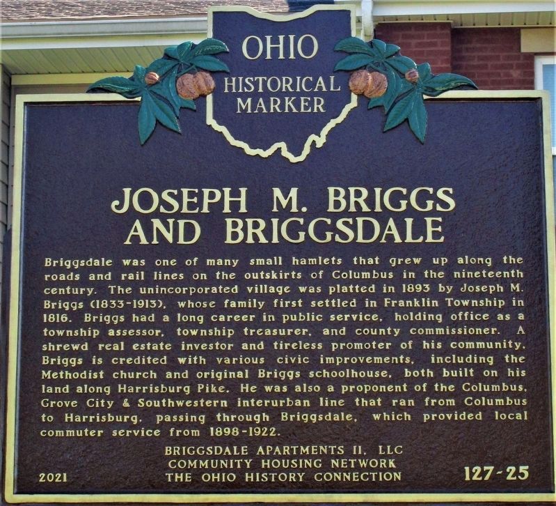
1. Joseph M. Briggs and Briggsdale side of the marker
Joseph M. Briggs and Briggsdale. Briggsdale was one of many small hamlets that grew up along the roads and rial lines on the outskirts of Columbus in the nineteenth century. The unincorporated village was platted in 1893 by Joseph M. Briggs (1833- 1913), whose family settled in Franklin Townaship in 1816. Briggs had a long career in public service, holding office as a township assesor, township treasurer, and county commissioner. A shrewd real estate investor and tireless promoter of his community, Briggs is credited with various civic improvements, including the Methodist church and original Briggs schoolhouse, both built on his land along Harrisonburg Pike. He was also a proponent of the Columbus, Grove City & Southwestern interurban line that ran from Columbus to Harrisburg, passing through Briggsdale, which provided local commuter service from 1898 - 1922.
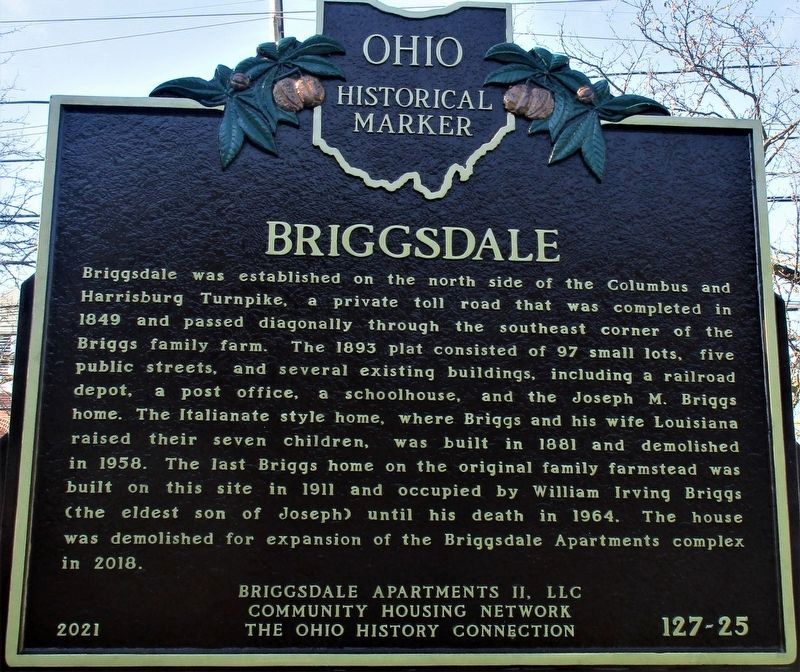
Briggsdale. Briggsdale was established on the north side of the Columbus and Harrisburg Turnpike, a private toll road that was completed in 1849 and passed diagonally through the southeast corner of the Briggs family farm. The 1893 plat consisted of 97 small lots,
this page online
Erected 2021 by Briggsdale Apartments II, LLC; Community Housing Network; Ohio History Connection. (Marker Number 127-25.)
Topics and series. This historical marker is listed in these topic lists: Roads & Vehicles • Settlements & Settlers. In addition, it is included in the Ohio Historical Society / The Ohio History Connection series list. A significant historical year for this entry is 1893.
Location. 39° 55.43′ N, 83° 3.536′ W. Marker is in Columbus, Ohio, in Franklin County. It is in Southwest Columbus. It is at the intersection of Harrisonburg Pike (U.S. 62) and Chambers Avenue, on the left when
Photographed by Rev. Ronald Irick, October 19, 2021
2. Briggsdale side of the marker

Regionally, this marker is in Ohio’s Scioto Valley. It is also in the American Midwest and in the Corn Belt. Globally, it is in North America, the Western Hemisphere, the Western World, and the Anglosphere. Historically, it finds itself in what was once the Haudenosaunee (Iroquois) Confederacy, the territory of the Mississippian Culture, and the Northwest Territory.
Other nearby markers. At least 8 other markers are within 2 miles of this marker, measured as the crow flies: Washington Townsend (approx. 1½ miles away); Reverend James Preston Poindexter (approx. 1.6 miles away); Camp Chase (approx. 1.6 miles away); Franklin County Civil War Memorial (approx. 1.6 miles away); 2260 Confederate Soldiers (approx. 1.6 miles away); Confederate Cannonball (approx. 1.6 miles away); Camp Chase Confederate Cemetery (approx. 1.6 miles away); This Confederate Cemetery (approx. 1.6 miles away). Touch for a list and map of all markers in Columbus.
Photographed by Rev. Ronald Irick, October 19, 2021
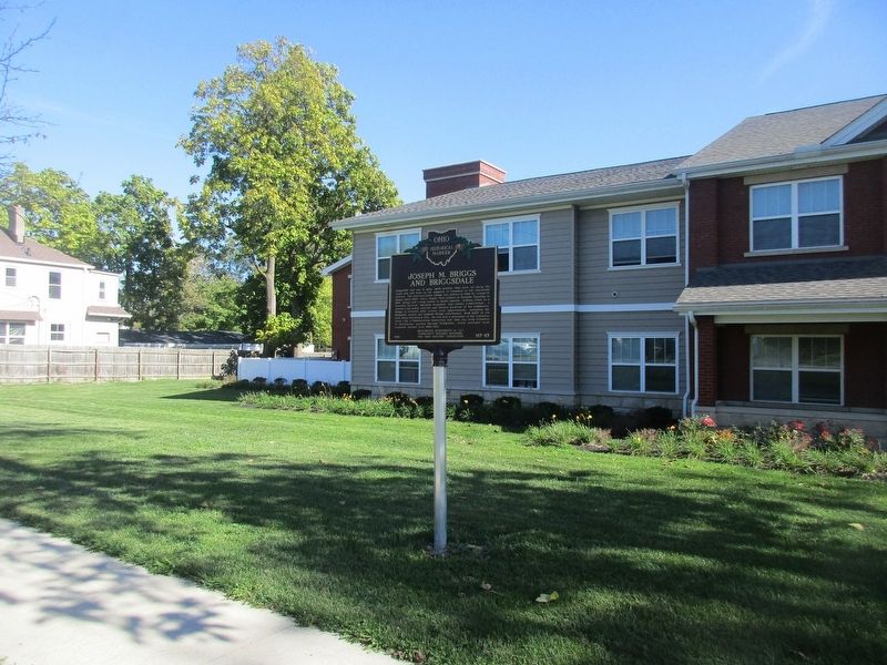
3. Joseph M. Briggs and Briggsdale Marker
Photographed by Rev. Ronald Irick, October 19, 2021
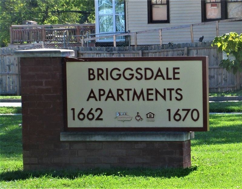
4. Briggsdale Apartments signage

Photographed by Craig Doda, April 11, 2026
5. Joseph M. Briggs and Briggsdale / Briggsdale Marker
Credits. This page was last revised on April 20, 2026. It was originally submitted on October 20, 2021, by Rev. Ronald Irick of West Liberty, Ohio. This page has been viewed 665 times since then and 55 times this year. Last updated on May 29, 2023, by Robert Baughman of Bellefontaine, Ohio. Photos: 1, 2, 3, 4. submitted on October 20, 2021, by Rev. Ronald Irick of West Liberty, Ohio. 5. submitted on April 16, 2026, by Craig Doda of Napoleon, Ohio. • Devry Becker Jones was the editor who published this page.
