Red Wing in Goodhue County, Minnesota — The American Midwest (Upper Plains)
Early Inhabitants
The mastodon and passenger pigeon may be gone, but much wildlife remains
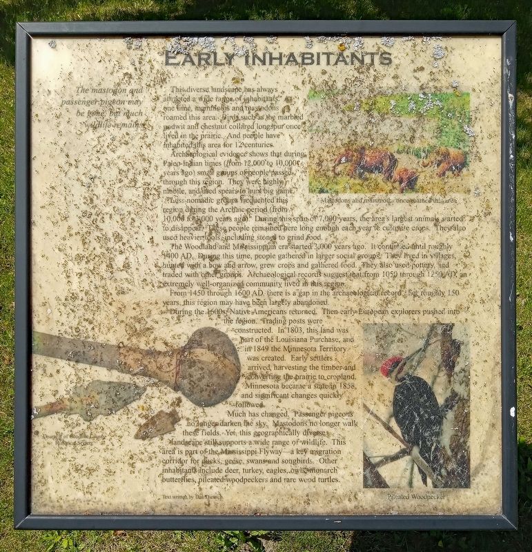
Archaeological evidence shows that during Paleo-Indian times (from 12,000 to 10,000 years ago) small groups of people passed through this region. They were highly mobile, and used spears to hunt big game.
Less nomadic groups frequented this region during the Archaic period (from 10,000 to 3,000 years ago). During this span of 7,000 years, the area's largest animals started to disappear. These people remained here long enough each year to cultivate crops. They also used heavier tools, including stones to grind food.
The Woodland and Mississippian era started 3,000 years ago. It continued until roughly 1400 AD. During this time, people gathered in larger social groups. They also used pottery, and traded with other groups. Archaeological records suggest that from 1050 through 1250 AD, an extremely well-organized community lived in this region.
From 1450 through 1600 AD there is a gap in the archaeological record; for roughly 150 years, this region may have been largely abandoned.
During the 1600s, Native Americans returned. Then early European explorers pushed into the region. Trading posts were constructed. In 1803, this land was part of the Louisiana Purchase, and in 1849 the Minnesota Territory was created. Early settlers arrived, harvesting the timber and converting the prairie to cropland. Minnesota became a state in 1858, and significant changes quickly followed.
Much has changed. Passenger pigeons no longer darken the sky. Mastodons no longer walk these fields. Yes, this geographically diverse landscape still supports a wide range of wildlife. This area is part of the Mississippi Flyway—a key migration corridor for ducks, geese, swans and songbirds. Other inhabitants include deer, turkey, eagles, owls, monarch butterflies, pileated woodpeckers and rare wood turtles.
Captions:
Mastodons and mammoths once roamed this area
Pileated Woodpecker
Text written by Dan Dietrich.
Topics. This historical marker is listed in these topic lists: Animals • Anthropology & Archaeology • Native Americans • Settlements & Settlers. A significant historical year for this entry is 1400.
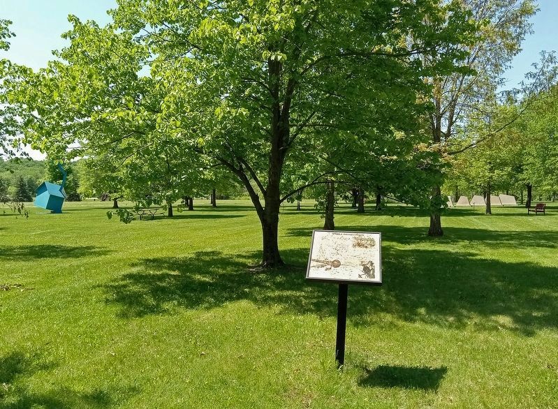
Location. 44° 34.303′ N, 92° 38.43′ W. Marker is in Red Wing, Minnesota, in Goodhue County. Marker can be reached from Tower View Drive. The marker is in the Anderson Center Sculpture Garden, northwest of the parking
lot. Touch for map. Marker is at or near this postal address: 161 Tower View Drive, Red Wing MN 55066, United States of America. Touch for directions.
Other nearby markers. At least 8 other markers are within 5 miles of this marker, measured as the crow flies. Our Native Forests (within shouting distance of this marker); Oak Trees in the Tallgrass Prairie (within shouting distance of this marker); Restoring the Land (about 300 feet away, measured in a direct line); Anderson Center and Outdoor Sculpture Garden (about 700 feet away); Military Roads (approx. 0.2 miles away); Red Wing Archaeological Preserve (approx. 0.6 miles away); The Belle Creek Watershed (approx. 3.7 miles away); Cannon Valley Trail Archaeology (approx. 4.9 miles away). Touch for a list and map of all markers in Red Wing.
Credits. This page was last revised on May 30, 2023. It was originally submitted on May 29, 2023, by McGhiever of Minneapolis, Minnesota. This page has been viewed 72 times since then and 20 times this year. Photos: 1, 2. submitted on May 29, 2023, by McGhiever of Minneapolis, Minnesota. • J. Makali Bruton was the editor who published this page.

