Near Adamsboro in Cass County, Indiana — The American Midwest (Great Lakes)
Wilkinson's Expedition / James Wilkinson (1757-1825)
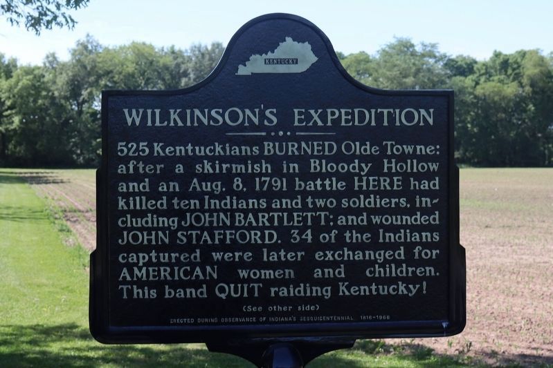
Wilkinson's Expedition. 525 Kentuckians burned Olde Towne: after a skirmish in Bloody Hollow and an Aug. 8. 1791 battle here had killed ten Indians and two soldiers, including John Bartlett; and wounded John Stafford. 34 of the Indians captured were later exchanged for American women and children. This band quit raiding Kentucky!
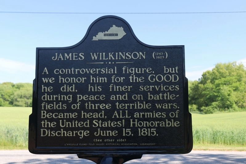
James Wilkinson (1757-1825). A controversial figure, but we honor him for the good he did, his finer services during peace and on the battlefields of three terrible wars. Became head, all armies of the United States! Honorable Discharge June 15, 1815.
Erected 1966 by L'Anguille (Long Eel) Valley Historical Association, Logansport.
Topics. This historical marker is listed in these topic lists: Native Americans • Settlements & Settlers • Wars, US Indian. A significant historical date for this entry is August 8, 1791.
Location. 40° 48.338′ N, 86° 14.818′ W. Marker is near Adamsboro, Indiana, in Cass County. Marker is on County Road E250N, 0.8 miles east of County Road N600E, on the right when traveling east. Touch for map. Marker is at or near this postal address: 6708 E Co Rd 250 N, Logansport IN 46947, United States of America. Touch for directions.
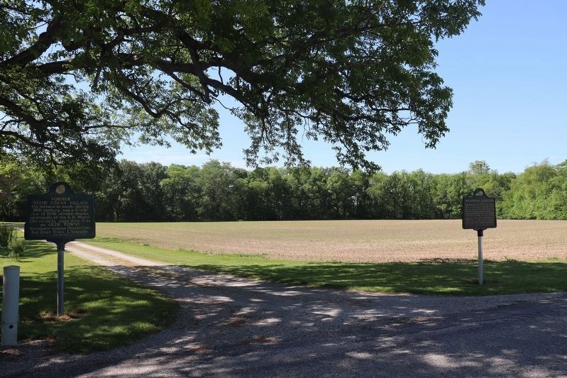
Other nearby markers. At least 8 other markers are within 7 miles of this marker, measured as the crow flies. Former Miami Indian Village (a few steps from this marker); Wilkinson's Expedition (about 600 feet away, measured in a direct line); Olde Towne Battle (approx. 0.7 miles away); Dentzel Carousel (approx. 6˝ miles away); Potawatomi Encampment (approx. 6.6 miles away); Wilmer Flory Daylilies (approx. 6.7 miles away); Logansport Settlers in the Ninth Street Cemetery (approx. 6.9 miles away); The Kendrick-Baldwin Home (approx. 7 miles away). Touch for a list and map of all markers in Adamsboro.
Related marker. Click here for another marker that is related to this marker.
Credits. This page was last revised on May 31, 2023. It was originally submitted on May 29, 2023, by Trevor L Whited of Kokomo, Indiana. This page has been viewed 78 times since then and 18 times this year. Photos: 1, 2, 3. submitted on May 29, 2023, by Trevor L Whited of Kokomo, Indiana. • Devry Becker Jones was the editor who published this page.


