
Lafayette in Macon County, Tennessee — The American South (East South Central)
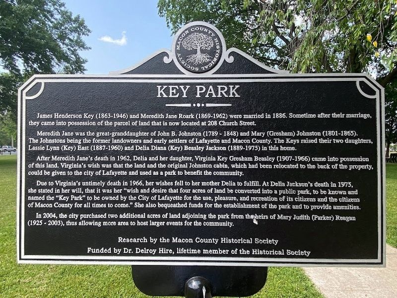
Key Park
Photographed by Darren Jefferson Clay, May 25, 2023
1. Key Park Marker
Meredith Jane was the great-granddaughter of John B. Johnston (1789-1848) and Mary (Gresham) Johnston (1801-1865). The Johnstons being the former landowners and early settlers of Lafayette and Macon County. The Keys raised their two daughters, Lassie Lynn (Key) East (1887-1960) and Delia Diana (Key) Beasley Jackson (1889-1975) in this home.
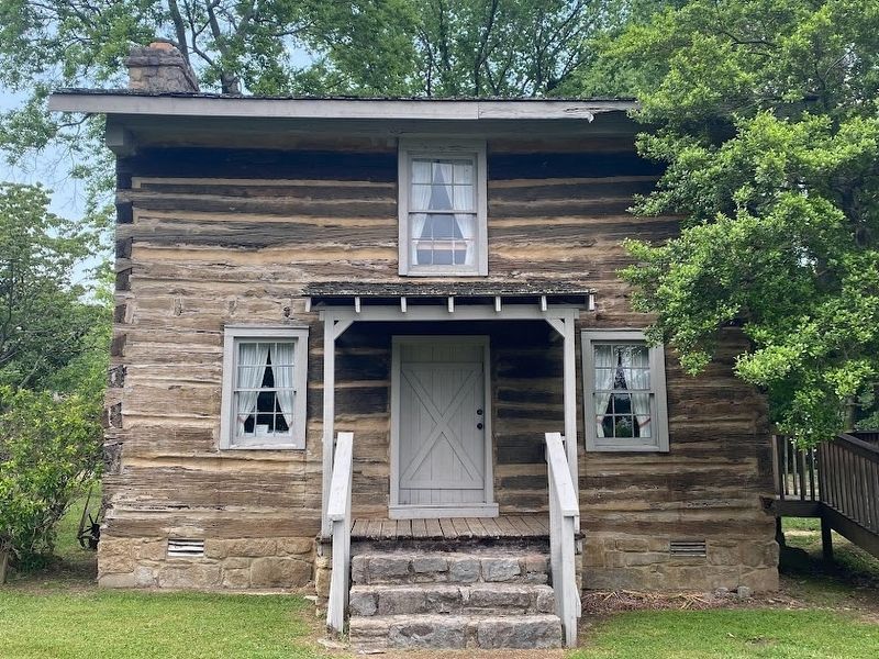
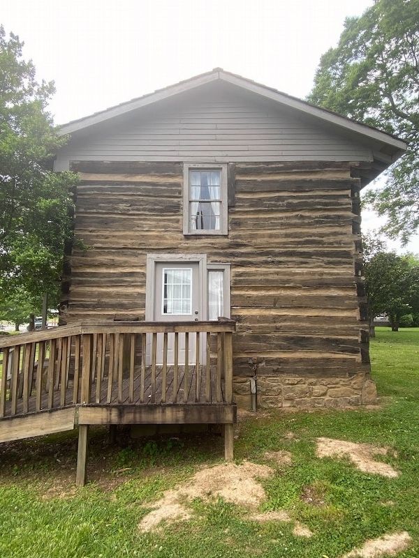
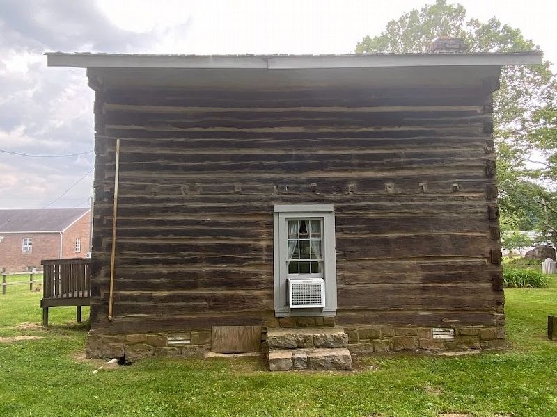
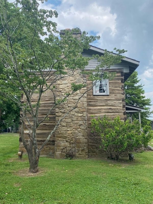
After Meredith Jane's death in 1962, Delia and her daughter, Virginia Key Gresham Beasley (1907-1966) came into possession of this land. Virginia's wish was that the land and the original Johnston cabin, which had been relocated to the back of the property, could be given to the city of Lafayette and used as a park to benefit the community.
Due to Virginia's untimely death in 1966, her wishes fell to her mother Delia to fulfill. At Della Jackson's death in 1975, she stated in her will, that it was her "wish and desire that four acres of land be converted into a public park,
this page online
In 2004, the city purchased two additional acres of land adjoining the park from the heirs of Mary Judith (Parker) Reagan (1925-2003), thus allowing more area to host larger events for the community.
Research by the Macon County Historical Society
Funded by Dr. Delroy Hire, lifetime member of the Historical Society
Erected by Macon County Historical Society.
Topics. This historical marker is listed in these topic lists: Parks & Recreational Areas • Settlements & Settlers. A significant historical year for this entry is 2004.
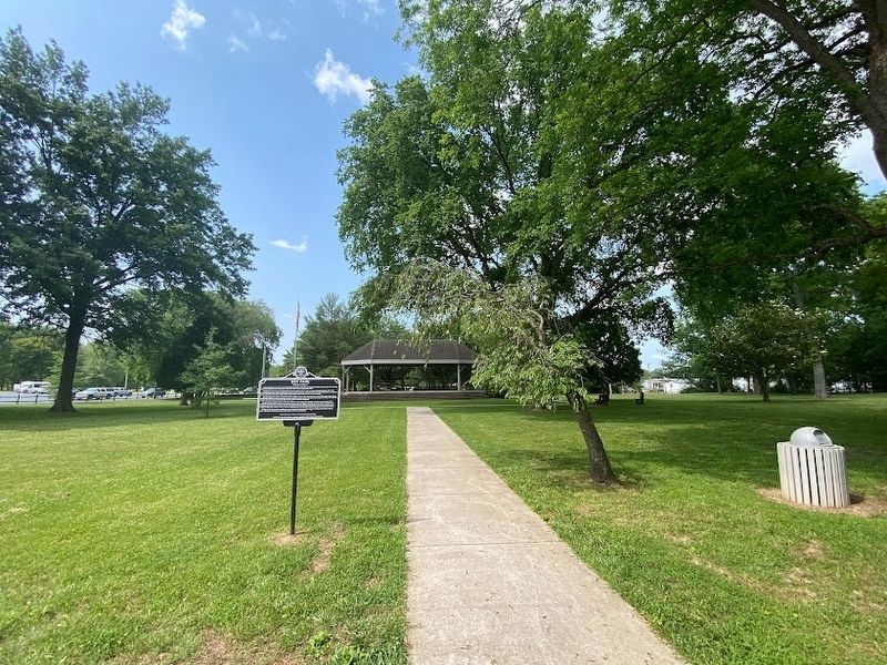
Location. 36° 31.321′ N, 86° 1.712′ W. Marker is in Lafayette, Tennessee, in Macon County. It can be reached from Church Street 0.1 miles west of Doss Avenue. Touch for map. Marker is at or near this postal address: 208 Church St, Lafayette TN 37083, United States of America. Touch for directions.

Regionally, this marker is in Middle
Photographed by Darren Jefferson Clay, May 25, 2023
2. Key Park Marker
Other nearby markers. At least 8 other markers are within 3 miles of this marker, measured as the crow flies: Macon County in the Civil War (about 800 feet away, measured in a direct line); Macon County (approx. 0.2 miles away); Macon County War Memorial (approx. 0.2 miles away); Macon County Confederate Soldiers Monument (approx. 0.2 miles away); Woodmore Hotel (approx. 0.2 miles away); Russell Smith (approx. 0.2 miles away); World War II Maneuvers (approx. 1.6 miles away); A Family Tragedy (approx. 2.3 miles away). Touch for a list and map of all markers in Lafayette.
Photographed by Darren Jefferson Clay, May 25, 2023
3. Front of Johnston cabin
Photographed by Darren Jefferson Clay, May 25, 2023
4. Right side of Johnston cabin
Photographed by Darren Jefferson Clay, May 25, 2023
5. Rear of Johnston cabin
Photographed by Darren Jefferson Clay, May 25, 2023
6. Left side of Johnston cabin
Credits. This page was last revised on May 30, 2023. It was originally submitted on May 30, 2023, by Darren Jefferson Clay of Duluth, Georgia. This page has been viewed 569 times since then and 54 times this year. Photos: 1, 2, 3, 4, 5, 6. submitted on May 30, 2023, by Darren Jefferson Clay of Duluth, Georgia. • James Hulse was the editor who published this page.
