Fayetteville in Washington County, Arkansas — The American South (West South Central)
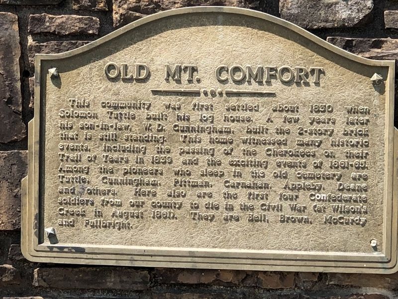
Old Mt. Comfort
Topics. This historical marker is listed in these topic lists: Cemeteries & Burial Sites • Settlements & Settlers • War, US Civil. A significant historical year for this entry is 1830.
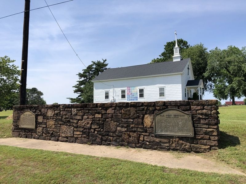
Location. 36° 5.572′ N, 94° 12.866′ W. Marker is in Fayetteville, Arkansas, in Washington County. Marker is on West Mount Comfort Road (County Road 84) west of Rupple Road, on the right when traveling west. Marker is on a stone wall in front of Mount Comfort Presbyterian Church. Touch for map. Marker is at or near this postal address: 3816 W Mt Comfort Rd, Fayetteville AR 72704, United States of America. Touch for directions.
Other nearby markers. At least 8 other markers are within 3 miles of this marker, measured as the crow flies. Far West Seminary (here, next to this marker); Mount Comfort in the Civil War (within shouting distance of this marker); The Jim Lindsey - Jim Williams Entry (approx. 2½ miles away); Wild Band of Razorbacks (approx. 2.6 miles away); First International Agriculture Mission (approx. 2.6 miles away); The Dale Bumpers Legacy (approx. 2.6 miles away); Early Integration (approx. 2.7 miles away); 4H House (approx. 2.7 miles away). Touch for a list and map of all markers in Fayetteville.
Also see . . . Mount Comfort (Washington County). Solomon Tuttle, along with his sons, his son-in-law William D. Cunningham, and the family’s enslaved people, settled in 1828 on this land. (Nancy Hartney, Encyclopedia of Arkansas) (Submitted on May 30, 2023, by Duane and Tracy Marsteller of Murfreesboro, Tennessee.)
Credits. This page was last revised on May 30, 2023. It was originally submitted on May 30, 2023, by Duane and Tracy Marsteller of Murfreesboro, Tennessee. This page has been viewed 88 times since then and 28 times this year. Photos: 1, 2. submitted on May 30, 2023, by Duane and Tracy Marsteller of Murfreesboro, Tennessee.

