Springdale in Washington County, Arkansas — The American South (West South Central)
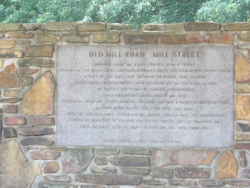
Old Mill Road/Mill Street
Named for the many early corn flour-woolen mills situated along Spring Creek
A part of the first Old Missouri Rd. before 1830 to 1858
Butterfield created present Old Missouri Rd. to the east in 1858 by-passing the town of Shiloh (Springdale)
First government Post Route Rd 1836
Cherokee Trail of Tears March 20, 1839 Dr. Wm. I. Morrow, wagonmaster
Military road during the Civil War 1861-1864
Part of the Old Wire-Telegraph Rd. which turned west on Johnson St. south on Pleasant St. to 68W, continuing south on the Johnson Rd
First message July 4, 1860 a part of the Holcombe Rd.
Erected by Beta Sigma Phi Sorority.
Topics. This historical marker is listed in this topic list: Roads & Vehicles. A significant historical date for this entry is March 20, 1839.
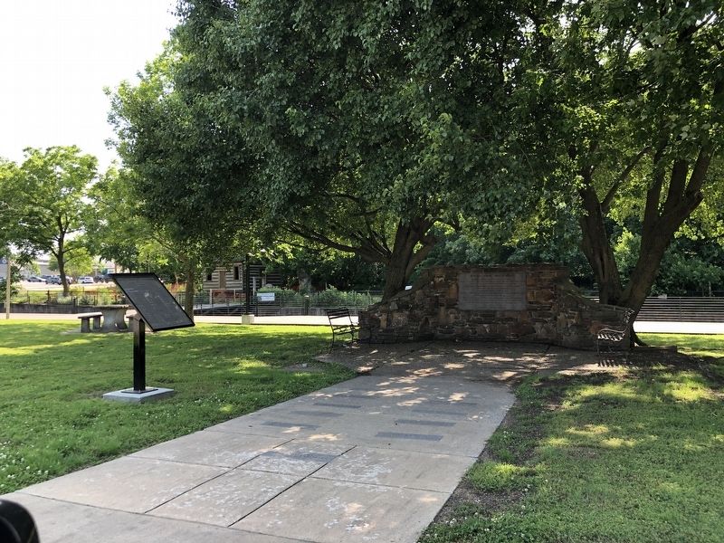
Location. 36° 11.226′ N, 94° 7.832′ W. Marker is in Springdale, Arkansas, in Washington County. Marker is at the intersection of Mill Street and West Center, on the right when traveling south on Mill Street. Touch for map. Marker is at or near this postal address: 300 Mill St, Springdale AR 72764, United States of America. Touch for directions.
Other nearby markers. At least 8 other markers are within 5 miles of this marker, measured as the crow flies. Regular Baptist Church of Shilo (within shouting distance of this marker); Holcomb's Spring in the Civil War (within shouting distance of this marker); Shiloh Memorial Park (within shouting distance of this marker); Beely-Johnson American Legion Post 139 (within shouting distance of this marker); Fitzgerald's Station (approx. 1.6 miles away); Rev. James M. Ingram (approx. 3.4 miles away); Wartime Gristmill Destruction (approx. 4.4 miles away); Canning Factory (approx. 4.6 miles away). Touch for a list and map of all markers in Springdale.
Credits. This page was last revised on May 31, 2023. It was originally submitted on May 31, 2023, by Duane and Tracy Marsteller of Murfreesboro, Tennessee. This page has been viewed 88 times since then and 35 times this year. Photos: 1, 2. submitted on May 31, 2023, by Duane and Tracy Marsteller of Murfreesboro, Tennessee.

