Riverfront in Wilmington in New Hanover County, North Carolina — The American South (South Atlantic)
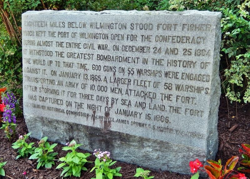
Fort Fisher
New Hanover Historical Commission — A.J. Howell • James Sprunt • E.S. Martin • W.A. McGirt
Erected by New Hanover Historical Commission.
Topics. This historical marker is listed in these topic lists: Forts and Castles • War, US Civil • Waterways & Vessels. A significant historical date for this entry is January 15, 1865.
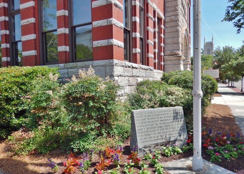
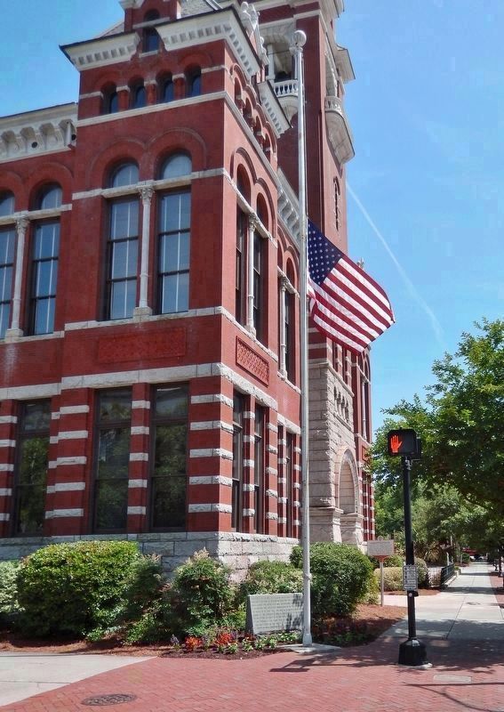
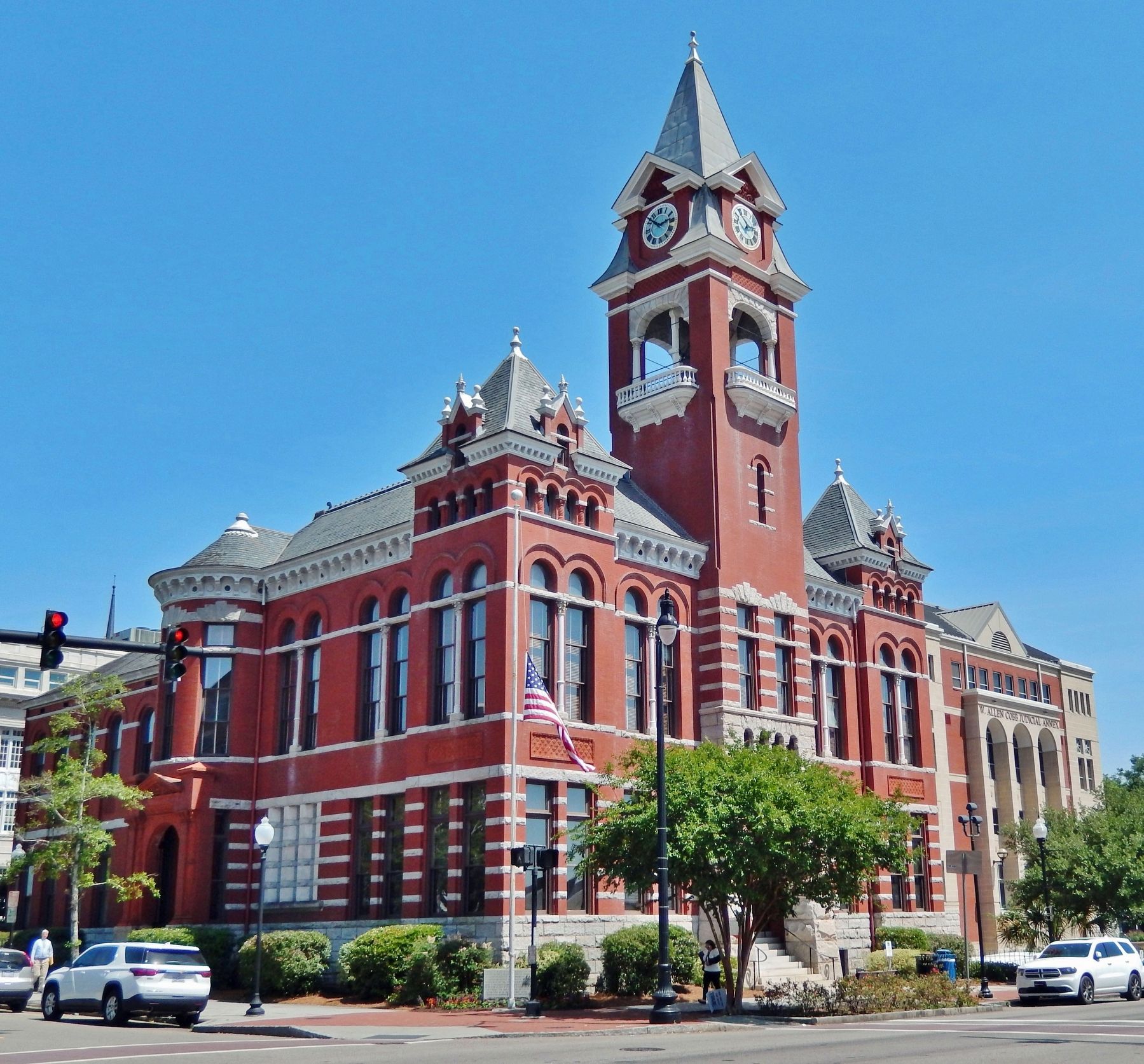
Location. 34° 14.195′ N, 77° 56.76′ W. Marker is in Wilmington, North Carolina, in New Hanover County. It is in Riverfront. Marker is at the intersection of North 3rd Street and Princess Street, on the right when traveling north on North 3rd Street. Marker is located at the northwest corner of the New Hanover County Courthouse. Touch for map. Marker is at or near this postal address: 316 Princess Street, Wilmington NC 28401, United States of America. Touch for directions.
Other nearby markers. At least 8 other markers are within walking distance of this marker. Hubert Eaton Sr. (here, next to this marker); New Hanover County Courthouse (a few steps from this marker); Thalian Hall (within shouting distance of this marker); William Hooper (within shouting distance of this marker); Freedom Flame (within shouting distance of this marker); Wilmington & New Hanover County War Memorial (within shouting distance of this marker); Replica of the Statue of Liberty (within shouting distance of this marker); StarNews Media Time Capsule (within shouting distance of this marker). Touch for a list and map of all markers in Wilmington.
Also see . . .
1. Fort Fisher.
Fort Fisher protected the vital Confederate trading routes of the port at Wilmington, North Carolina, from 1861 until its capture by the Union in 1865. The fort was located on one of Cape Fear River's two outlets to the Atlantic Ocean on what was then known as Federal Point or Confederate Point and today is known as Pleasure Island. The strength of Fort Fisher led to its being called the Southern Gibraltar and the "Malakoff Tower of the South". The battle of Fort Fisher was the most decisive battle of the Civil War fought in North Carolina.(Submitted on May 31, 2023, by Cosmos Mariner of Cape Canaveral, Florida.)
2. Fort Fisher State Historic Site
.
By 1863, it was the South's largest fort, visited by President Jefferson Davis, and providing a far-reaching defense that extended from land to sea. 22 guns were raised 12' feet above sea level in order to attack ships within a one-mile radius, while over 15 land mounds covering 1,800' feet of terrain held 25 more additional guns, a full 32' feet above sea level, that could target oncoming Union ships.(Submitted on May 31, 2023, by Cosmos Mariner of Cape Canaveral, Florida.)
3. Fort Fisher.
Until the last few months of the Civil War, Fort Fisher kept North Carolina's port of Wilmington open to blockade-runners supplying necessary goods to Confederate armies inland. By 1865, the supply line through Wilmington was the last remaining supply route open to Robert E. Lee's Army of Northern Virginia. When Ft. Fisher fell after a massive Federal amphibious assault on January 15, 1865, its defeat helped seal the fate of the Confederacy.(Submitted on May 31, 2023, by Cosmos Mariner of Cape Canaveral, Florida.)
Credits. This page was last revised on May 31, 2023. It was originally submitted on May 31, 2023, by Cosmos Mariner of Cape Canaveral, Florida. This page has been viewed 61 times since then and 14 times this year. Photos: 1, 2, 3, 4. submitted on May 31, 2023, by Cosmos Mariner of Cape Canaveral, Florida.


