Near Stafford in Stafford County, Virginia — The American South (Mid-Atlantic)
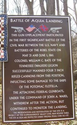
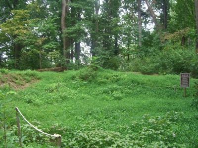
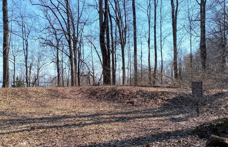
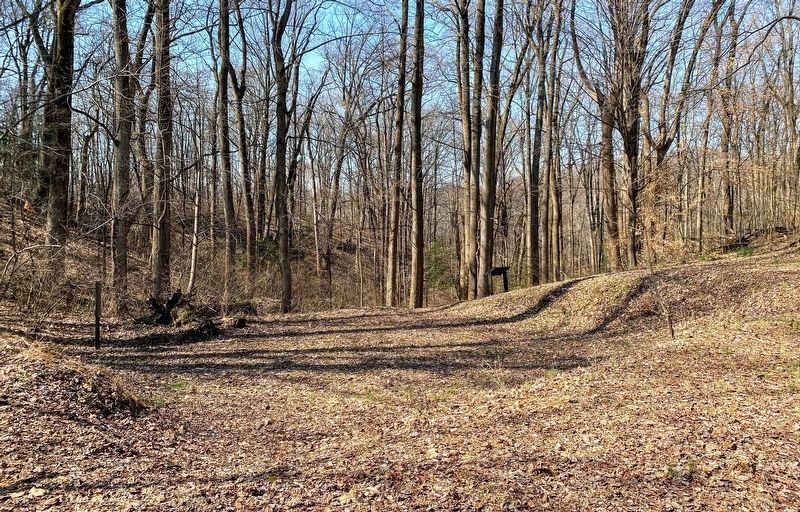
Battle of Aquia Landing
The presentation and restoration of this site is a project of the Rappahonnock Valley Civil War Round Table. This site & sign are protected under Virginia Penal Code 18.2-137.
Erected by Rappahonnock Valley Civil War Round Table.
Topics. This historical marker is listed in this topic list: War, US Civil. A significant historical month for this entry is May 1957.
Location. 38° 22.898′ N, 77° 19.153′ W. Marker is near Stafford, Virginia, in Stafford County. Touch for map. Marker is at or near this postal address: 56 Canterbury Dr, Stafford VA 22554, United States of America. Touch for directions.
Other nearby markers. At least 8 other markers are within walking distance of this marker. Aquia Landing (within shouting distance of this marker); History of the Patawomeck Indians (about 400 feet away, measured in a direct line); a different marker also named Aquia Landing (about 500 feet away); Mason's Homestead (about 500 feet away); a different marker also named Aquia Landing (about 700 feet away); Patawomeck Tribe Village (approx. 0.3 miles away); Steamships, Stages and Slave Trade (approx. 0.6 miles away); Early Escape Route (approx. 0.6 miles away). Touch for a list and map of all markers in Stafford.
Regarding Battle of Aquia Landing. Access to this marker is from the “Aquia Landing - The Railroad” marker location.
Credits. This page was last revised on June 22, 2022. It was originally submitted on August 29, 2007, by Kevin W. of Stafford, Virginia. This page has been viewed 1,951 times since then and 36 times this year. Photos: 1, 2. submitted on August 29, 2007, by Kevin W. of Stafford, Virginia. 3, 4. submitted on May 23, 2022, by Shane Oliver of Richmond, Virginia. • J. J. Prats was the editor who published this page.


