Windsor in Ashtabula County, Ohio — The American Midwest (Great Lakes)
Prehistoric Earthworks / The Prehistoric Erie
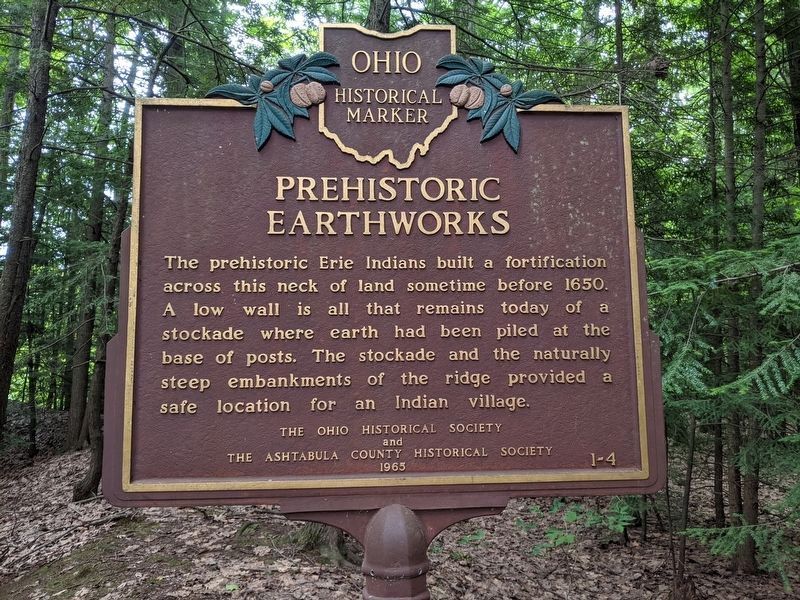
Prehistoric Earthworks
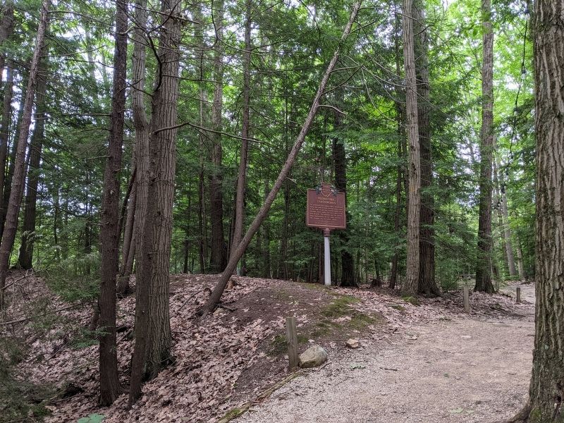
Indians built a fortification across this neck of land sometime before 1650. A low wall is all that remains today of a stockade where earth had been piled at the base of posts. The stockade and the naturally steep embankments of the ridge provided a safe location for an Indian village.
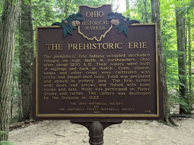
The Prehistoric Erie
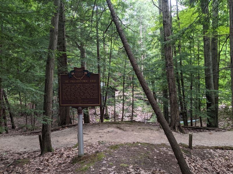
Indians occupied stockaded villages on high bluffs in northeastern Ohio after about 1200 A. D. Their houses were built of saplings and bark or thatch. Corn, squash, beans and other crops were cultivated with sticks and mussel-shell hoes. Food was prepared and stored in pottery jars. The Erie hunted with bows and arrows and fished with bone hooks and nets. Music was performed on flutes, drums and rattles. The culture was destroyed by the Iroquois in 1653.
Erected 1965 by The Ohio Historical Society and The Ashtabula County Historical Society. (Marker Number 1-4.)
Topics and series. This historical marker is listed in these topic lists: Anthropology & Archaeology • Native Americans. In addition, it is included in the Ohio Historical Society / The Ohio History Connection series list. A significant historical year for this entry is 1650.
Location. 41° 31.654′ N, 80° 57.789′ W. Marker is in Windsor, Ohio, in Ashtabula County. The marker is on private property, please respect the owners. Touch for map. Marker is at or near this postal address: 7983 South Wiswell Road, Windsor OH 44099, United States of America. Touch for directions.
Other nearby markers. At least 8 other markers are within 8 miles of this marker, measured as the crow flies. Christ Church Episcopal (approx. 0.6 miles away); Adna R. Chaffee (approx. 5 miles away); Old Stone House (approx. 5.2 miles away); Hartsgrove Township Honor Roll (approx. 5.4 miles away); Bloomfield Township Commons (approx. 6.7 miles away); Batavia House (approx. 7.3 miles away); Rome Honor Roll (approx. 7.4 miles away); Middlefield (approx. 7.8 miles away).
Credits. This page was last revised on June 7, 2023. It was originally submitted on June 19, 2021, by Mike Wintermantel of Pittsburgh, Pennsylvania. This page has been viewed 414 times since then and 94 times this year. Last updated on June 2, 2023, by Grant & Mary Ann Fish of Galloway, Ohio. Photos: 1, 2, 3, 4. submitted on June 19, 2021, by Mike Wintermantel of Pittsburgh, Pennsylvania. • J. Makali Bruton was the editor who published this page.


