Miamisburg in Montgomery County, Ohio — The American Midwest (Great Lakes)
Heritage Village
Photographed by Rev. Ronald Irick, September 13, 2016
1. Heritage Village Marker
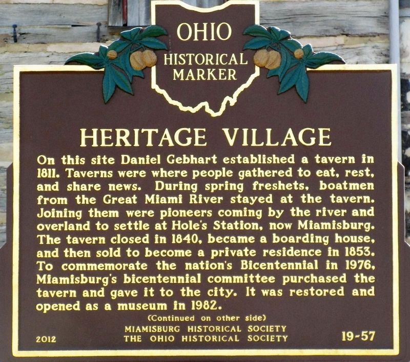
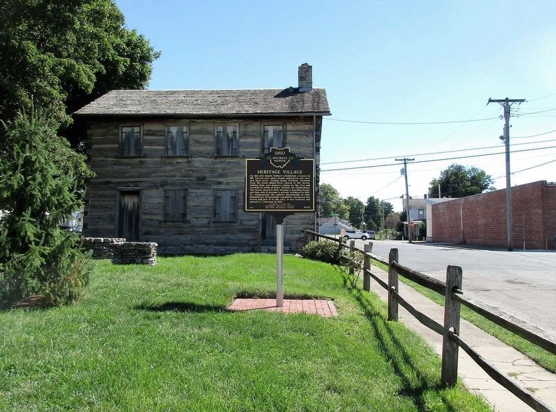
On this site Daniel Gebhart established a tavern in 1811. Taverns were where people gathered to eat, rest, and share news. During spring freshets, boatmen from the Great Miami River stayed at the tavern. Joining them were pioneers coming by the river and overland to settle at Hole's Station, now Miamisburg. The tavern closed in 1840, became a boarding house, and then sold to become a private residence in 1853. To commemorate the nation's Bicentennial in 1976, Miamisburg's bicentennial committee purchased the tavern and gave it to the city. It was restored and opened as a museum in 1982
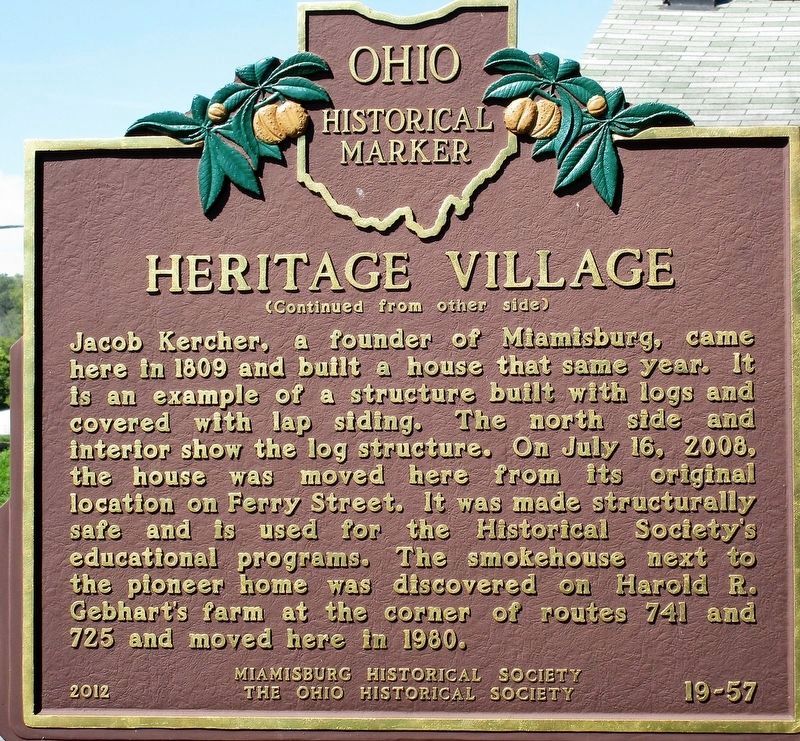
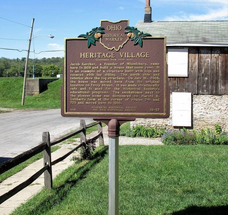
Jacob Kercher, a founder of Miamisburg, came here in 1809 and built a house that same year. It is an example of a structure built with logs and covered with lap siding. The north side and interior show the log structure. On July 16, 2008, the house was moved here from its original location on Ferry Street. It was made structurally safe and is used for the Historical Society's educational programs. The smokehouse next to the pioneer home was discovered on Harold R. Gebhart's farm at the corner of routes 741 and 725 and moved here in
this page online
Erected 2012 by Miamisburg Historical Society and The Ohio Historical Society. (Marker Number 19-57.)
Topics and series. This historical marker is listed in these topic lists: Industry & Commerce • Settlements & Settlers • Waterways & Vessels. In addition, it is included in the Ohio Historical Society / The Ohio History Connection series list. A significant historical year for this entry is 1811.
Location. 39° 38.295′ N, 84° 17.463′ W. Marker is in Miamisburg, Ohio, in Montgomery County. It is at the intersection of West Lock Street and South Miami Avenue, on the right when traveling west on West Lock Street. Touch for map. Marker is at or near this postal address: 104 West Lock Street, Miamisburg OH 45342, United States of America. Touch for directions.

Regionally, this marker is in Ohio’s Dayton Metro and in the Miami Valley. It is also in the American Midwest and in the Corn Belt. Globally, it is in North America, the Western Hemisphere, the Western World, and the Anglosphere. Historically, it finds itself in what was once the Haudenosaunee (Iroquois) Confederacy, the territory of the Mississippian
Photographed by Rev. Ronald Irick, September 13, 2016
2. Heritage Village Marker Reverse
Other nearby markers. At least 8 other markers are within walking distance of this marker: Miamisburg in the Great Flood of 1913 (approx. 0.2 miles away); Welcome To The Farmers & Merchants Bank Playground (approx. ¼ mile away); History of the 1913 Flood in Miamisburg (approx. ¼ mile away); Welcome to The Ginkgo Stage (approx. 0.3 miles away); The Miami Connection (approx. 0.3 miles away); The Miami Erie Canal (approx. 0.3 miles away); "Lest We Forget" (approx. 0.4 miles away); Miamisburg POW-MIA Memorial (approx. 0.4 miles away). Touch for a list and map of all markers in Miamisburg.
Photographed by Rev. Ronald Irick, September 13, 2016
3. Heritage Village Marker
Photographed by Rev. Ronald Irick, September 13, 2016
4. Heritage Village Marker
The marker can be seen at a distance.
Photographed by Rev. Ronald Irick, September 13, 2016
5. Heritage Village Marker
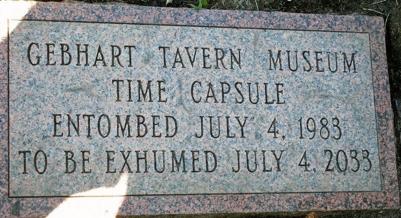
Stone in lawn near tavern

Photographed by Craig Doda, October 4, 2025
6. Heritage Village Marker

Photographed by Craig Doda, October 4, 2025
7. Heritage Village Marker
Credits. This page was last revised on October 10, 2025. It was originally submitted on September 23, 2016, by Rev. Ronald Irick of West Liberty, Ohio. This page has been viewed 851 times since then and 99 times this year. Last updated on June 2, 2023, by Grant & Mary Ann Fish of Galloway, Ohio. Photos: 1, 2, 3, 4, 5. submitted on September 23, 2016, by Rev. Ronald Irick of West Liberty, Ohio. 6, 7. submitted on October 8, 2025, by Craig Doda of Napoleon, Ohio. • J. Makali Bruton was the editor who published this page.
