Near Pierre in Hughes County, South Dakota — The American Midwest (Upper Plains)
Much Was Accomplished
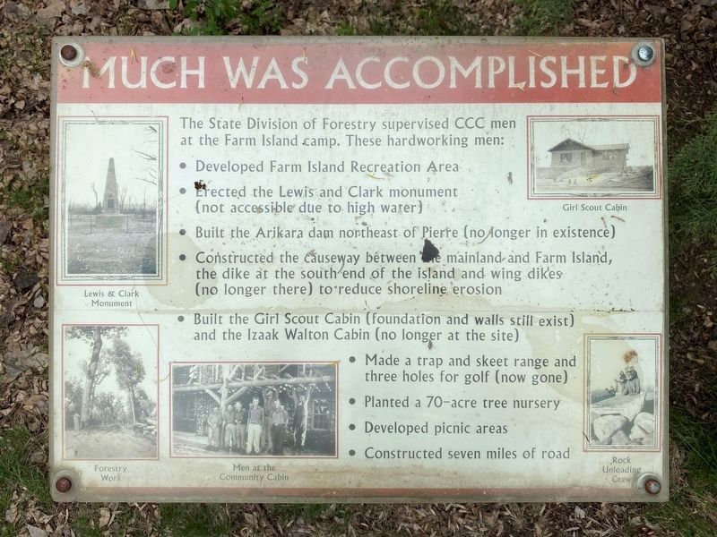
The State Division of Forestry supervised CCC men at the Farm Island camp. These hardworking men:
• Developed Farm Island Recreation Area
• Erected the Lewis and Clark monument (not accessible due to high water)
• Built the Arikara dam northeast of Pierre (no longer in existence)
• Constructed the causeway between the mainland and Farm Island, the dike at the south end of the island and wing dikes (no longer there) to reduce shoreline erosion
• Built the Girl Scout Cabin (foundation and walls still exist) and the Izaak Walton Cabin (no longer at the site)
• Made a trap and skeet range and three holes for golf (now gone)
• Planted a 70-acre tree nursery
• Developed picnic areas
• Constructed seven miles of road
Photos (counterclockwise from top-left):
Lewis & Clark Monument
Forestry Work
Men at the Community Cabin
Rock Unloading Crew
Girl Scout Cabin
Topics and series. This historical marker is listed in these topic lists: Charity & Public Work • Parks & Recreational Areas • Waterways & Vessels. In addition, it is included in the Civilian Conservation Corps (CCC) series list.
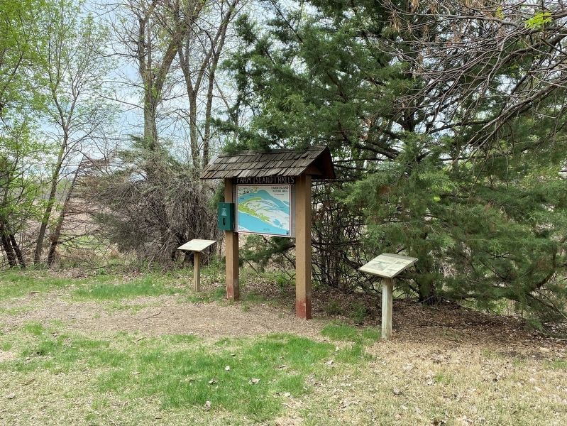
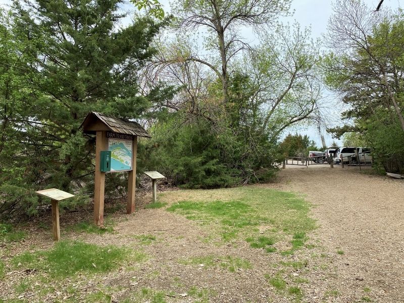
Location. 44° 20.231′ N, 100° 16.473′ W. Marker is near Pierre, South Dakota, in Hughes County. Marker can be reached from Farm Island Road, one mile south of South Dakota Highway 34, on the right when traveling south. Located at the Farm Island Nature Area within Farm Island Recreation Area. Touch for map. Marker is at or near this postal address: 1301 Farm Island Rd, Pierre SD 57501, United States of America. Touch for directions.
Other nearby markers. At least 8 other markers are within walking distance of this marker. Farm Island Causeway (here, next to this marker); Missouri River Valley Archaeology (approx. 0.4 miles away); Cultural Legacy (approx. half a mile away); CCC Camp S - 207, Farm Island, 1933 - 37 (approx. half a mile away); Site of Old Fort Sully (approx. 0.6 miles away); Civilian Conservation Corps (CCC) (approx. 0.6 miles away); Entering Teton Country (approx. 0.6 miles away); Boy Scout Cabin (approx. 0.7 miles away). Touch for a list and map of all markers in Pierre.
Credits. This page was last revised on June 2, 2023. It was originally submitted on June 2, 2023. This page has been viewed 45 times since then and 11 times this year. Photos: 1, 2, 3. submitted on June 2, 2023.


