
Mayfield in Fulton County, New York — The American Northeast (Mid-Atlantic)
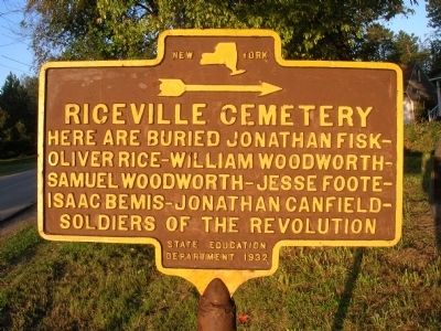
Riceville Cemetery
»————›
Photographed by Howard C. Ohlhous, September 1, 2009
1. Riceville Cemetery Marker
Oliver Rice-William Woodworth-
Samuel Woodworth-Jesse Foote-
Isaac Bemis-Jonathan Canfield-
Soldiers of The Revolution
Erected 1932 by New York State Education Department.
Topics. This historical marker is listed in these topic lists: Cemeteries & Burial Sites • Patriots & Patriotism • War, US Revolutionary.
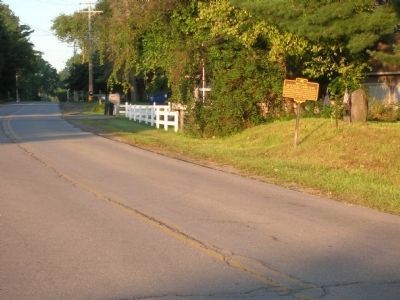
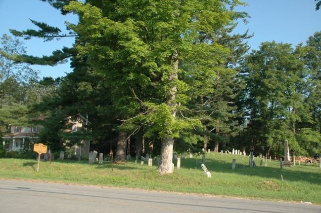
Location. 43° 5.567′ N, 74° 16.95′ W. Marker is in Mayfield, New York, in Fulton County. It is on Riceville Road south of Phelps Street, on the right when traveling south. Riceville is a hamlet near the junction of Routes NY-30 and NY-30A within the Town of Mayfield. Touch for map. Marker is at or near this postal address: 220 Riceville Road, Mayfield NY 12117, United States of America. Touch for directions.

Regionally, this marker is in Upstate New York and in the Mohawk Valley. It is also in the American Northeast and in the Mid-Atlantic. Globally, it is in North America, the Great North Woods, the Western Hemisphere, the Western World, and the Anglosphere. Historically, it finds itself in what
this page online
Other nearby markers. At least 8 other markers are within walking distance of this marker: Captain Solomon Woodworth (about 300 feet away, measured in a direct line); Woodworth Farm (approx. 0.4 miles away); Baptist Church (approx. 0.4 miles away); a different marker also named Riceville Cemetery (approx. 0.4 miles away); Rice Homestead (approx. 0.6 miles away); Anthonyville (approx. 0.6 miles away); Burying Ground (approx. 0.8 miles away); Amasa Stephen (approx. 0.9 miles away). Touch for a list and map of all markers in Mayfield.
Photographed by Howard C. Ohlhous, September 1, 2009
2. Riceville Cemetery Marker
Photographed by Howard C. Ohlhous, July 8, 2010
3. Riceville Cemetery & Marker
Photographed by Howard C. Ohlhous, July 8, 2010
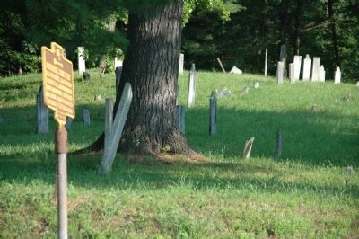
4. Riceville Cemetery & Marker
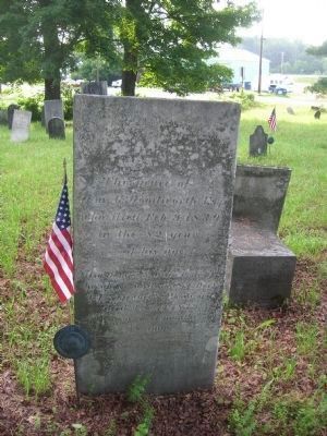
Photographed by Howard C. Ohlhous, July 6, 2009
5. A Headstone in the Riceville Cemetery
Wm. G. Woodworth Esq
who died Feb 9, 1839
in the 82 year
of his age"
Credits. This page was last revised on June 4, 2023. It was originally submitted on August 20, 2010, by Howard C. Ohlhous of Duanesburg, New York. This page has been viewed 1,563 times since then and 111 times this year. Last updated on June 3, 2023, by Donamarie Fournier of Buhl, Idaho. Photos: 1, 2, 3, 4, 5. submitted on August 20, 2010, by Howard C. Ohlhous of Duanesburg, New York. • J. Makali Bruton was the editor who published this page.
