Red Wing in Goodhue County, Minnesota — The American Midwest (Upper Plains)
Red Wing Archaeological Preserve
(21GD158)
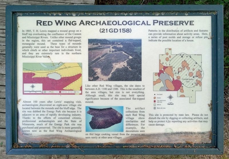
Almost 100 years after Lewis' mapping visit, archaeologists discovered an eight-acre village site located between the mounds and the bluff edge. The site was dubbed the Energy Park site because it is adjacent to an area of rapidly developing industry. Thanks to the efforts of concerned citizens, professional archaeologists and the State of Minnesota, much of the Energy Park site was purchased and preserved. The site is more generally known now as the Red Wing Archaeological Preserve.
Like other Red Wing villages, the site dates to between A.D. 1100 and 1300. This is the smallest of the area villages, but size is not everything. Although small, this site may hold special significance because of the associated flat-topped mound.
The artifact collections from each Red Wing village show similarities and differences. For example, the decorations seen on this large cooking vessel from the preserve are seen rarely at other area villages.
Patterns in the distribution of artifacts and features can provide information about activity areas. Here, a series of post molds and storage or refuse pits indicate the possible location of a house.
This site is protected by state law. Please do not disturb the site by digging or collecting artifacts, and help us protect it by reporting any activities that may cause damage.
Erected by Cannon Valley Trail.
Topics. This historical marker is listed in these topic lists: Anthropology & Archaeology • Native Americans. A significant historical year for this entry is 1100.
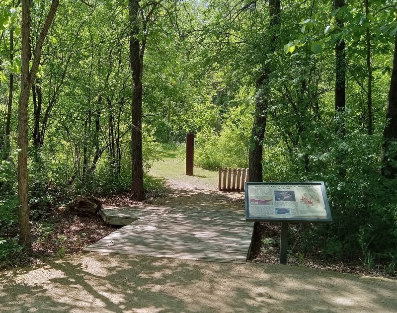
Location. 44° 34.347′ N, 92° 37.649′ W. Marker is in Red Wing, Minnesota, in Goodhue County. Marker can be reached from the Cannon Valley Trail (at milepost 16) east of Cannon Bottom Road, on the right when traveling east. The marker is along the Cannon Valley Trail bikeway, at a marked point of interest. A dirt walking trail leads through the archaeological preserve. Touch for map. Marker is in this post office area: Red Wing MN 55066, United States of America. Touch for directions.
Other nearby markers. At least 8 other markers are within 5 miles of this marker, measured as the crow flies. Restoring the Land (approx. 0.6 miles away); Anderson Center and Outdoor Sculpture Garden (approx. 0.6 miles away); Our Native Forests (approx. 0.6 miles away); Early Inhabitants
(approx. 0.6 miles away); Oak Trees in the Tallgrass Prairie (approx. 0.7 miles away); Military Roads (approx. ¾ mile away); The Belle Creek Watershed (approx. 4.4 miles away); The Sea Wing Disaster / Victims of the Sea Wing Disaster (approx. 4½ miles away). Touch for a list and map of all markers in Red Wing.
Credits. This page was last revised on June 4, 2023. It was originally submitted on June 3, 2023, by McGhiever of Minneapolis, Minnesota. This page has been viewed 317 times since then and 219 times this year. Photos: 1, 2. submitted on June 3, 2023, by McGhiever of Minneapolis, Minnesota. • J. Makali Bruton was the editor who published this page.

