Anoka in Anoka County, Minnesota — The American Midwest (Upper Plains)
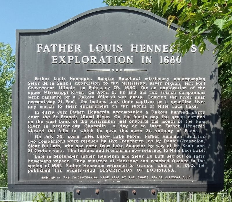
Father Louis Hennepin's Exploration in 1680
In early July Father Hennepin accompanied a Dakota hunting party down the St. Francis (Rum) River. On the fourth day the group camped on the west bank of the Mississippi just opposite the mouth of the Rum River in present-day Champlin. A day or so later Father Hennepin viewed the falls to which he gave the name St. Anthony of Padua.
On July 25, some miles below Lake Pepin, Father Hennepin and his two companions were rescued by five Frenchmen led by Daniel Greysolon, Sieur Du Luth, who had come from Lake Superior by way of the Brule and St. Croix rivers. The Indians and Frenchmen now returned to Mille Lacs Lake.
Late in September Father Hennepin and Sieur Du Luth set out on their homeward voyage. They wintered at Mackinac and reached Quebec in the spring of 1681. Father Hennepin returned to France, where, in 1683, he published his widely-read Description of Louisiana.
Erected 1980 by Anoka Senior Citizens Club.
Topics. This historical marker is listed in these topic lists: Churches & Religion • Exploration • Native Americans. A significant historical year for this entry is 1680.
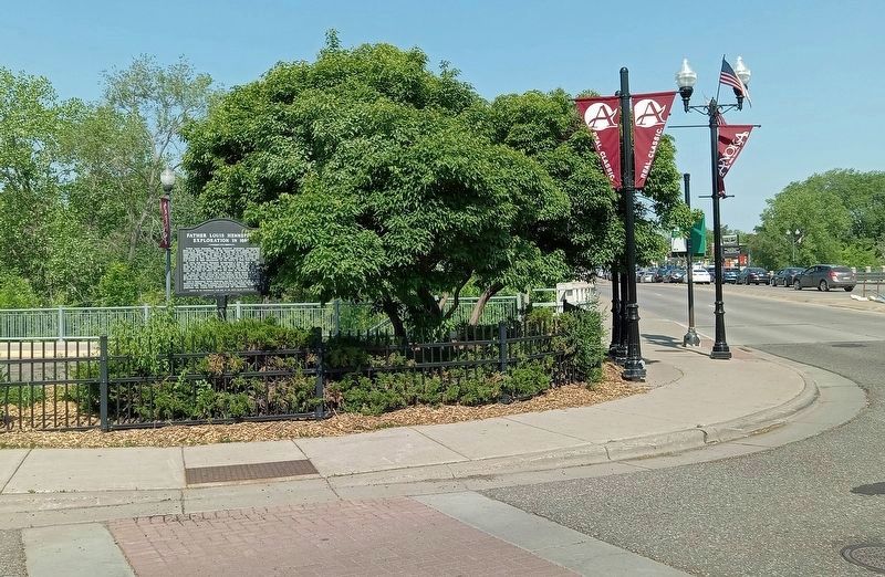
Location. 45° 11.875′ N, 93° 23.448′ W. Marker is in Anoka, Minnesota, in Anoka County. Marker is at the intersection of 1st Avenue and East Main Street, on the right when traveling south on 1st Avenue. Touch for map. Marker is at or near this postal address: 1922 1st Avenue S, Anoka MN 55303, United States of America. Touch for directions.
Other nearby markers. At least 8 other markers are within walking distance of this marker. Robert W. Akin (within shouting distance of this marker); The Stone House (within shouting distance of this marker); Perseverance Needed (about 500 feet away, measured in a direct line); Rum River Dam (about 600 feet away); Windego Park Auditorium (about 700 feet away); The Gathering Place (approx. 0.2 miles away); Why Settle Here? / Time to Play (approx. 0.2 miles away); Aaron Greenwald (approx. 0.2 miles away). Touch for a list and map of all markers in Anoka.
Credits. This page was last revised on June 5, 2023. It was originally submitted on June 4, 2023, by McGhiever of Minneapolis, Minnesota. This page has been viewed 313 times since then and 38 times this year. Photos: 1, 2. submitted on June 4, 2023, by McGhiever of Minneapolis, Minnesota. • J. Makali Bruton was the editor who published this page.

