Capitol Hill in Salt Lake City in Salt Lake County, Utah — The American Mountains (Southwest)
The View

Photographed by Jason Voigt, May 12, 2023
1. The View Marker
(photo caption:)
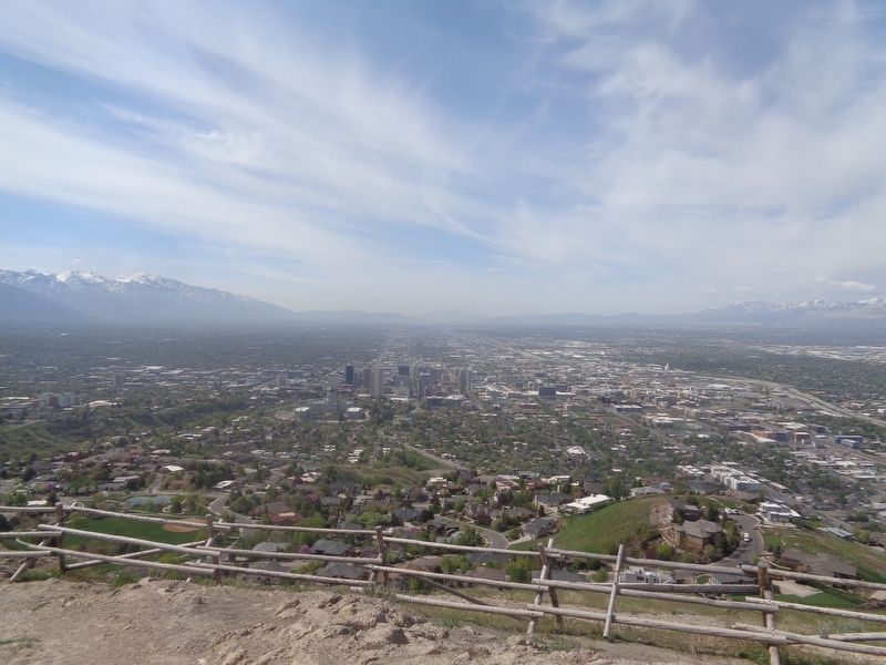
Beyond the State Capitol Building lies State Street, stretching long and straight until it disappears from view in the distance. The Salt Lake Temple, now practically surrounded by tall buildings, once dominated the landscape. The small communities that formerly dotted the valley have grown to the point that it is often hard to tell where one ends and other begins.
Topics. This historical marker is listed in these topic lists: Exploration • Settlements & Settlers • Waterways & Vessels. A significant historical year for this entry is 1847.
Location. 40° 47.661′ N,
this page online

Regionally, this marker is in the Wasatch Front and in Greater Salt Lake. It is also in the American Mountain West and on the Colorado Plateau. Globally, it is in North America, the Rocky Mountains, the Western Hemisphere, the Western World, and the Anglosphere. Historically, it finds itself in what was once New Spain and also Mexico’s Alta California.
Other nearby markers. At least 8 other markers are within walking distance of this marker: Flags on Ensign Peak (here, next to this marker); The Summit (here, next to this marker); Ensign Peak (here, next to this marker); The Valley (about 400 feet away, measured in a direct line); a different marker also named The View
Photographed by Jason Voigt, May 12, 2023
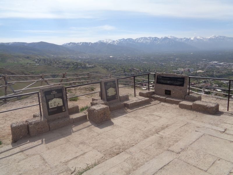
2. The View Marker
Marker is on the right, atop Ensign Peak.
Photographed by Jason Voigt, May 12, 2023
3. View of Salt Lake City and surrounding areas
Just a few steps from the marker, atop Ensign Peak
Credits. This page was last revised on June 5, 2023. It was originally submitted on June 5, 2023, by Jason Voigt of Glen Carbon, Illinois. This page has been viewed 1,053 times since then and 109 times this year. Photos: 1, 2, 3. submitted on June 5, 2023, by Jason Voigt of Glen Carbon, Illinois.
