Near Harrison in Boone County, Arkansas — The American South (West South Central)
Boone County Caravan Spring
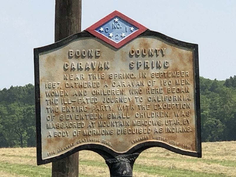
Photographed by Duane and Tracy Marsteller, May 22, 2023
1. Boone County Caravan Spring Marker
Near this spring, in September 1857, gathered a caravan of 150 men, women and children, who here began the ill-fated journey to California. The entire party, with the exception of seventeen small children, was massacred at Mountain Meadows, Utah, by a body of Mormons disguised as Indians.
Erected 1936 by Arkansas Centennial Commission • Arkansas History Commission. (Marker Number C-21.)
Topics and series. This historical marker is listed in these topic lists: Disasters • Waterways & Vessels. In addition, it is included in the Arkansas Centennial Commission series list.
Location. 36° 10.552′ N, 93° 7.404′ W. Marker is near Harrison, Arkansas, in Boone County. It is on State Highway 7 0.3 miles north of Doe Run Lane West, on the right when traveling north. Touch for map. Marker is at or near this postal address: 6148 AR-7, Harrison AR 72601, United States of America. Touch for directions.

Regionally, this marker is on the Ozark Plateau and in Osage Territory. It is also in the American South, specifically in the Upper South, and in the Ozarks. Globally,
this page online
Other nearby markers. At least 8 other markers are within 4 miles of this marker, measured as the crow flies: 1893 Queen Anne House Bed & Breakfast (approx. 3.7 miles away); The Original Harrison High School (approx. 3.7 miles away); The People's National Bank (approx. 3.8 miles away); Capitol Café & Oklahoma Tire (approx. 3.8 miles away); The Walters Building (approx. 3.8 miles away); The Lyric (Plaza) Theatre (approx. 3.8 miles away); The Old Dime Store (approx. 3.9 miles away); Boone County Confederate Memorial (approx. 3.9 miles away). Touch for a list and map of all markers in Harrison.
Regarding Boone County Caravan Spring. The caravan actually departed this area in April, 1857. The massacre took place in September of that year.
Also see . . . Mormon Historians Shed Light On Sept. 11, 1857. The "Mountain Meadows Massacre" still troubles
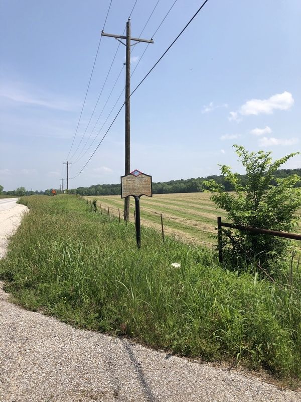
Photographed by Duane and Tracy Marsteller, May 22, 2023
2. Boone County Caravan Spring Marker
Credits. This page was last revised on June 8, 2023. It was originally submitted on June 6, 2023, by Duane and Tracy Marsteller of Murfreesboro, Tennessee. This page has been viewed 1,469 times since then and 176 times this year. Photos: 1, 2. submitted on June 6, 2023, by Duane and Tracy Marsteller of Murfreesboro, Tennessee.
