Shandon in San Luis Obispo County, California — The American West (Pacific Coastal)
Powerful Forces at Work
Slowly But Surely
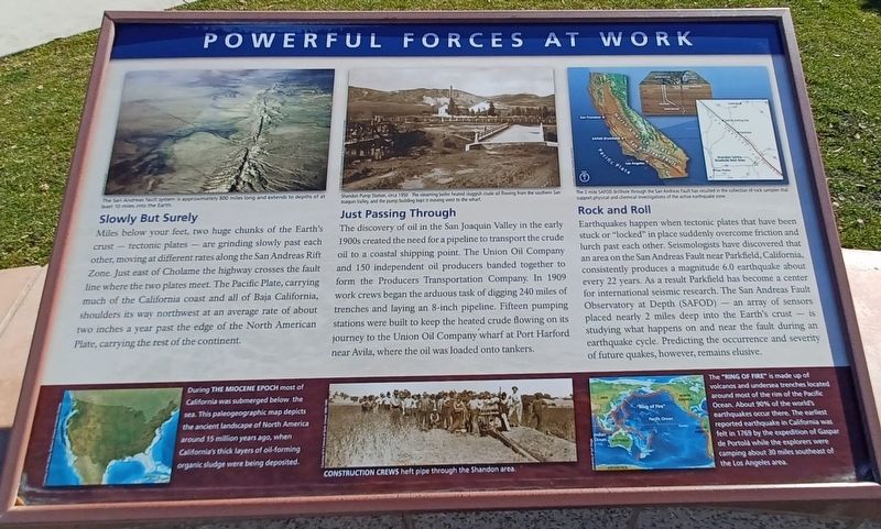
Miles below your feet, two huge chunks of the Earth's crust - tectonic plates - are grinding slowly past each other, moving at different rates along the San Andreas Rift Zone. Just east of Cholame the highway crosses the fault line where the two plates meet. The Pacific Plate, carrying much of the California coast and all of Baja California, shoulders its way northwest at an average rate of about two inches a year past the edge of the North American Plate, carrying the rest of the continent.
Just Passing Through
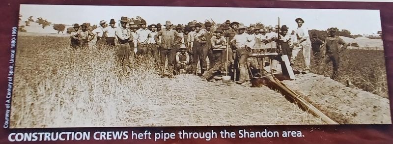
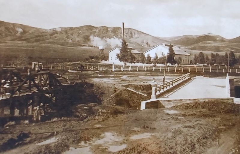
The discovery of oil in the San Joaquin Valley in the early 1900s created the need for a pipeline to transport the crude oil to a coastal shipping point. The Union Oil Company and 150 independent oil produces banded together to for the Producers Transportation Company. In 1909 work crews began the arduous task of digging 240 miles of trenches and laying an 8-inch pipeline. Fifteen pumping stations were built to keep the heated crude flowing on its journey to the Union Oil Company wharf at Port Harford near Avila, where the oil was loaded onto tankers.
Rock and Roll
Earthquakes happen when tectonic plates that have been struck or "locked" in place suddenly overcome friction and lurch past each other. Seismologists have discovered that an area on the San Andreas Fault near Parkfield, California, consistently produces a magnitude 6.0 earthquakes about every 22 years. As a result Parkfield has become a center in international seismic research. The San Andreas Fault Observatory at Depth (SAFOD) - an array of sensors places nearly 2 miles deep into the Earth's crust - is studying what happens on and near the fault during an earthquake cycle. Predicting the occurrence and severity of future quakes, however, remains elusive.
Captions:
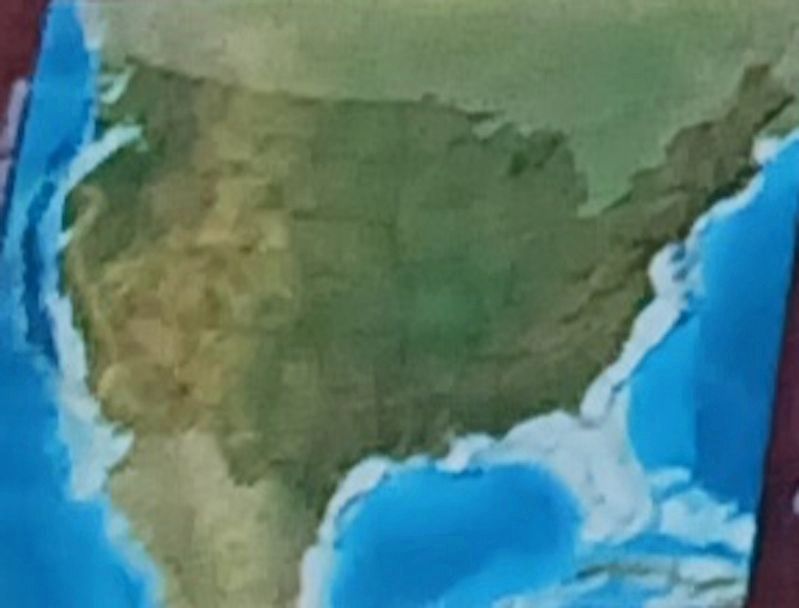
During the Miocene Epoch most of California was submerge below the sea. This pale geographic map depicts the ancient landscape of North America around 15 million years ago, when California's thick layers of oil-forming organic sludge were being deposited.
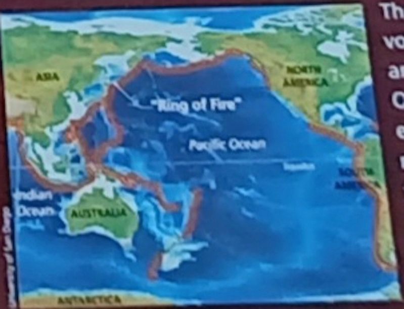
The "Ring of Fire" is made up of volcanoes and undersea trenches located around most of the rim of the Pacific Ocean. About 90% of the world's earthquakes occur there. The earliest reported earthquake in California was felt in 1769 by the expedition of Gaspar de Portolá while the explorers were camping about 30 miles southeast of the Los Angeles area.
Topics. This historical marker is listed in these topic lists: Environment • Science & Medicine. A significant historical year for this entry is 1909.
Location. 35° 40.509′ N, 120° 20.802′ W. Marker is in Shandon, California, in San Luis Obispo County
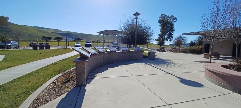
. Marker is on Route 41, on the right when traveling north. The marker is located 0.9 mi. west of Shandon on Route 41 at a reststop (west side). Touch for map. Marker is in this post office area: Shandon CA 93461, United States of America. Touch for directions.
Other nearby markers. At least 5 other markers are within 15 miles of this marker, measured as the crow flies. Home Sweet Homestead (here, next to this marker); Life On The Land (here, next to this marker); Lee Tucker Pool (approx. 2.2 miles away); Tribute to a Young Man (approx. 4.4 miles away); Creston Community Church (approx. 14.7 miles away).
Credits. This page was last revised on June 20, 2023. It was originally submitted on June 7, 2023, by Denise Boose of Tehachapi, California. This page has been viewed 59 times since then and 10 times this year. Photos: 1, 2, 3, 4, 5, 6. submitted on June 7, 2023, by Denise Boose of Tehachapi, California. • J. Makali Bruton was the editor who published this page.
