Puerta de Tierra in San Juan in Municipio de San Juan, Puerto Rico — The Caribbean (The West Indies)
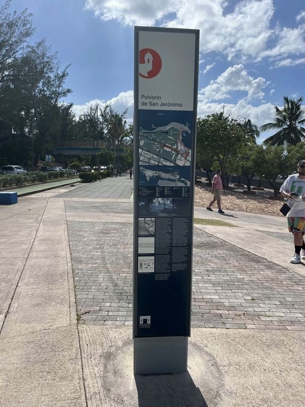
Polvorín de San Jerónimo
[San Jerónimo Gunpowder Magazine]
El polvorín de San Jerónimo es uno de los cuatro almacenes de pólvora y utilería para la artillería que se construyeron en la Isleta de San Juan en la segunda mitad del siglo XVIII. De geometría rectangular, fue construido en mampostería con un grueso techo a dos aguas y muros a prueba de bombas. Almacenaba la pólvora para los cañones y la fusilería de la primera línea de defensa. Tenía cisternas de agua potable recolectada de la lluvia. Todo su perímetro exterior se protegió con un muro adicional de cuatro metros de alto y 30 centímetros de grosor, con garitas en dos de sus esquinas. Al igual que los otros cuatro polvorines, contaba con una segunda estructura situada a cierta distancia llamada casa de guardias para alojar a los soldados encargados de su manejo. Fue diseñado en 1769 por el ingeniero Tomás O'Daly y construido por el ingeniero Juan Francisco Mestre como parte de un abarcador programa para poner al día el sistema defensivo de la ciudad.
Cuando se diseñó el parque Luis Muñoz Rivera en 1925, este polvorín quedó dentro de los terrenos del mismo, por lo que fue un elemento clave en dicho diseño. En 1935 la estructura se utilizó como museo de historia natural y en 1945 se estableció un zoológico en sus galerías exteriores. Durante su restauración por el Fideicomiso de Parques Nacionales de Puerto Rico en 1992 se eliminaron las alteraciones que habían sido hechas al polvorín para la década de 1940.
(El puente peatonal accesible desde esta acera al oeste de este punto permite acceso fácil y seguro al Parque Luis Muñoz Rivera, para apreciar el polvorín de cerca).
When the Luis Muñoz Rivera Park was designed in 1925, the magazine remained within it, and thus was a key element in
(The pedestrian bridge due west on this sidewalk provides easy and safe access to the Luis Muñoz Rivera Park, to appreciate a closer view of the San Jerónimo gunpowder magazine).
Erected by Paseo Puerta de Tierra.
Topics. This historical marker is listed in these topic lists: Animals • Colonial Era • Forts and Castles • Parks & Recreational Areas. A significant historical year for this entry is 1769.
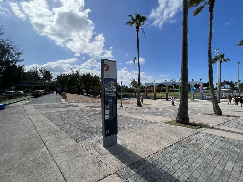
Location. 18° 27.898′ N, 66° 5.394′ W. Marker is in San Juan in Municipio de San Juan, Puerto Rico. It is in Puerta de Tierra. Marker is on Avenido Luis Muñoz Rivera (Puerto Rico Route 25R) 0.2 kilometers west of Calle Normandie, on the right. Touch for map. Marker is in this post office area: San Juan PR 00901, United States of America. Touch for directions.
Other nearby markers. At least 8 other markers are within walking distance of this marker. Memorial de Pulse (Pulse Memorial) (within shouting distance of this marker); Palma real (approx. 0.3 kilometers away); Segunda línea de defensa (approx. half a kilometer away); Tercera Línea de Defensa: Trincheras (approx. half a kilometer away); First Line of Defense (approx. 0.6 kilometers away); Ataques a la Isleta (approx. 0.6 kilometers away); Guillermo Esteves Bridge (approx. 0.7 kilometers away); Fort San Antonio (approx. 0.7 kilometers away). Touch for a list and map of all markers in San Juan.
Credits. This page was last revised on June 8, 2023. It was originally submitted on June 8, 2023, by Devry Becker Jones of Washington, District of Columbia. This page has been viewed 58 times since then and 5 times this year. Photos: 1, 2. submitted on June 8, 2023, by Devry Becker Jones of Washington, District of Columbia.

