Cunningham Township in Urbana in Champaign County, Illinois — The American Midwest (Great Lakes)
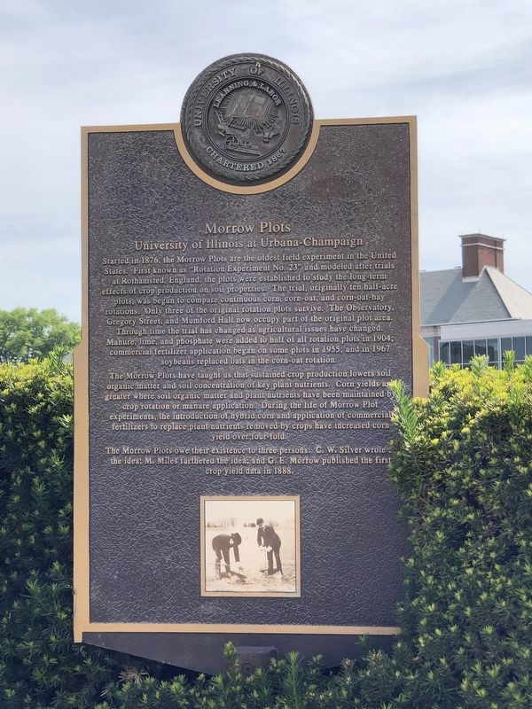
Morrow Plots
University of Illinois at Urbana-Champaign
The Morrow Plots have taught us that sustained crop production lowers soil organic matter and soil concentration of key plant nutrients. Corn yields are greater where soil organic matter and plant nutrients have been maintained by crop rotation or manure application. During the life of Morrow Plot experiments, the introduction of hybrid corn and application of commercial fertilizers to replace plant nutrients removed by crops have increased corn yield over four fold.
The Morrow Plots owe their existence to three persons: C W. Silver wrote of the idea: M. Miles furthered the idea; and G. E. Morrow published the first crop yield data in 1888.
Erected by University of Illinois.
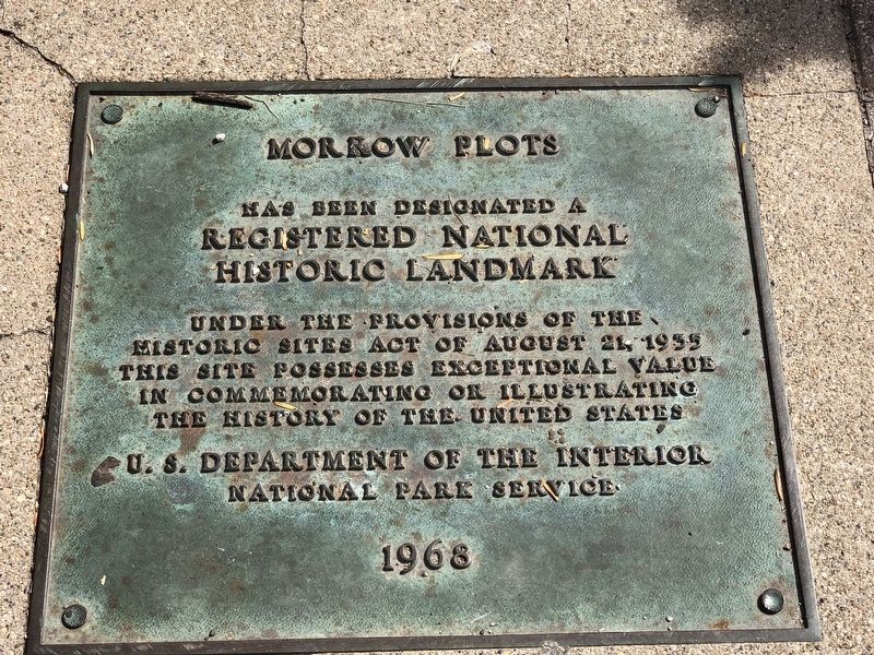
Topics and series. This historical marker is listed in these topic lists: Agriculture • Education • Science & Medicine. In addition, it is included in the National Historic Landmarks, and the University of Illinois series lists. A significant historical year for this entry is 1876.
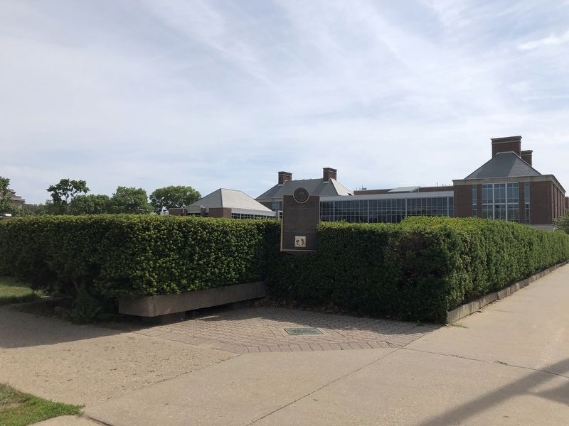
Location. 40° 6.257′ N, 88° 13.591′ W. Marker is in Urbana, Illinois, in Champaign County. It is in Cunningham Township. Marker is on West Gregory Drive, 0.2 miles east of South 6th Street, on the left when traveling east. Touch for map. Marker is in this post office area: Urbana IL 61801, United States of America. Touch for directions.
Other nearby markers. At least 8 other markers are within walking distance of this marker. The Astronomical Observatory (about 400 feet away, measured in a direct line); Modern Pork Industry (about 500 feet away); Creation of Research Library (about 500 feet away); Tina Weedon Smith Memorial Hall (about 600 feet away); The Farm House (about 600 feet away); Illinois Historical Collections (about 700 feet away); Public Broadcasting (about 700 feet away); Architectural Education (approx. 0.2 miles away). Touch for a list and map of all markers in Urbana.
Also see . . .
1. Morrow Plots
. National Register nomination (PDF) and photographs (separate PDF) of the site, which was listed on the register and also designated a National Historic Landmark in 1968. (National Park Service) (Submitted on June 8, 2023, by Duane and Tracy Marsteller of Murfreesboro, Tennessee.)
2. Morrow Plots. Allen Parrish with the University of Illinois Crop Sciences Department hosts this video history. (Illinois Crop Sciences, uploaded Nov. 19, 2021) (Submitted on June 14, 2023, by Duane and Tracy Marsteller of Murfreesboro, Tennessee.)
Credits. This page was last revised on June 14, 2023. It was originally submitted on June 8, 2023, by Duane and Tracy Marsteller of Murfreesboro, Tennessee. This page has been viewed 60 times since then and 14 times this year. Photos: 1, 2, 3. submitted on June 8, 2023, by Duane and Tracy Marsteller of Murfreesboro, Tennessee.


