Juana Díaz in Municipio de Juana Díaz, Puerto Rico — The Caribbean (The West Indies)
Casa del Rey
[House of the King]
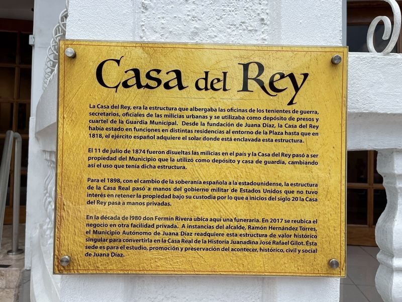
La Casa del Rey, erea la estructura que albergaba las oficinas de los tenientes de guerra, secretarios, oficiales de las milicias urbanas y se utilizaa como depósito de presos y cuartel de la Guardia Municipal. Dede la fundación de Juana Díaz, la Casa del Rey había estado en funciones en distintas residencias al entorno de la Plaza hasta que en 1818, el ejército español adquiere el solar donde está enclavada esta estructura.
El 11 de julo de 1874 fueron disueltas las milicias en el país y la CAsa del Rey pasó a ser propiedad del Municipio que la utilizó como depósito y casa de guardia, cambiando así el uso que tenía dicha estructura.
Para el 1898, con el cambio de la soberanía española a la estadounidense, la estructura de la Casa Real pasó a manos del gobierno militar de Estados Unidos que no tuvo interés en retener la propiedad bajo su custodia por lo que a inicios del siglo 20 la Casa del Rey pasa a manos privadas.
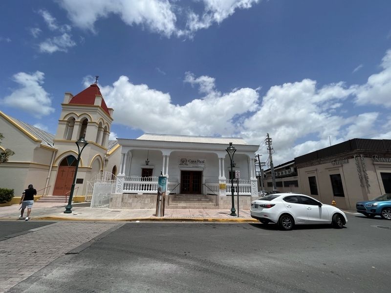
En la década de 1980 don Fermín Rivera ubica aquí una funeraria. En 2017 se reubica el negocio en otra facilidad privada. A instancias del alcalde, Ramón Hernández Torres, el Municipio Autónomio de Juana Díaz readquiere esta estructura de valor histórico singular para convertirla en la Casa Real de la Historia Juanadina José Rafael Gilo. Ésta sede es para el estudio, promoción y preservación del acontecer, histórico, civil y social de Jauna Díaz.
The Casa del Rey, was the structure that housed the offices of the military, secretaries, officers of the urban militias and was used as a warehouse for prisoners and headquarters of the Municipal Guard. Since the foundation of Juana Díaz, the Casa del Rey had been in operation in different residences around the Plaza until in 1818, when the Spanish army acquired the site where this structure is located.
On July 11, 1874, the militias in the country were dissolved and the Casa del Rey became the property of the Municipality that used it as a warehouse and guard house, thus changing the use of said structure.
By 1898, with the change from Spanish to U.S. sovereignty, the structure of the Royal House passed into the hands of the United States military government, which had no interest in retaining the property in its custody. Because of that, the Casa del Rey passed into private hands in the early 20th century.
In the 1980s, Don Fermín Rivera located a funeral home here. In 2017 the business was relocated to another private facility.
Erected by Municipio de Juana Díaz.
Topics. This historical marker is listed in these topic lists: Charity & Public Work • Colonial Era • Education • Law Enforcement • Military. A significant historical date for this entry is July 11, 1874.
Location. 18° 3.213′ N, 66° 30.387′ W. Marker is in Juana Díaz in Municipio de Juana Díaz, Puerto Rico. Marker is at the intersection of Calle Mariano Abril (Puerto Rico Route 570) and Calle F. Degetau, on the left when traveling north on Calle Mariano Abril. Touch for map. Marker is at or near this postal address: Calle Tomas Carrion Maduro 9, Juana Diaz PR 00795, United States of America. Touch for directions.
Other nearby markers. At least 8 other markers are within walking distance of this marker. Iglesia Evangelica Unida de Puerto Rico (a few steps from this marker); Plaza Recreo de Juana Díaz (within shouting distance of this marker); Padre Velentín Echavarría (about 400 feet away, measured in a direct line); Parroquia San Ramón Nonato (about 400 feet away); Juana Díaz (approx. 0.3 kilometers away); Carlos M. Rabassa Torres (approx. 0.6 kilometers away); Pablo Hernandez Torres (approx. 0.7 kilometers away); Victor Tricoche de Jesus (approx. 0.7 kilometers away). Touch for a list and map of all markers in Juana Díaz.
Credits. This page was last revised on April 6, 2024. It was originally submitted on June 9, 2023, by Devry Becker Jones of Washington, District of Columbia. This page has been viewed 96 times since then and 45 times this year. Photos: 1, 2. submitted on June 9, 2023, by Devry Becker Jones of Washington, District of Columbia.

