
Needville in Fort Bend County, Texas — The American South (West South Central)
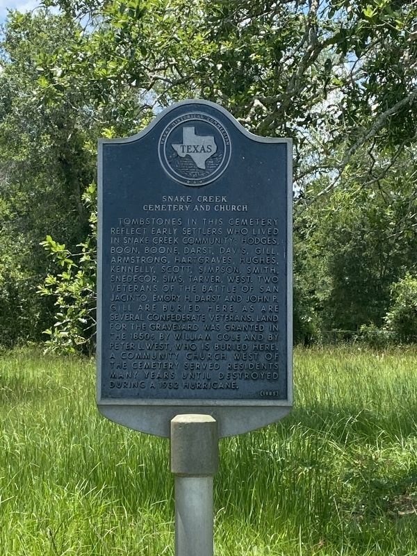
Snake Creek Cemetery and Church
Photographed by Madeleine Schimmer, June 9, 2023
1. Snake Creek Cemetery and Church Marker
Erected 1985 by Texas Historical Commission. (Marker Number 9067.)
Topics. This historical marker is listed in these topic lists: Cemeteries & Burial Sites • Religion & Religious Structures • Settlements & Settlers • War, Texas Independence • War, US Civil. A significant historical year for this entry is 1850.
Location. 29° 21.63′ N, 95° 55.101′ W. Marker is in Needville, Texas, in Fort Bend County. It can be reached from Dale Dodge Lane 1.3 miles south of Mueck Road. This cemetery and marker are on private property along a private dirt road
this page online

Regionally, this marker is in the Houston Metropolitan Area. It is also on the American Gulf Coast. Globally, it is in North America, a Gulf of Mexico state, the Western Hemisphere, the Western World, and the Anglosphere. Historically, it finds itself in what was once New Spain, the Republic of Texas, one of the Confederate States of America, and the Antebellum South.
Other nearby markers. At least 8 other markers are within 9 miles of this marker, measured as the crow flies: Needville Methodist Church (approx. 5.4 miles away); Town of Needville (approx. 5.8 miles away); Needville Methodist Church Cemetery (approx. 7 miles away); Kendleton (approx. 7.8 miles away); Terry v. Adams (approx. 7.8 miles away); a different marker also named Kendleton (approx. 7.9 miles away); Newgulf Campo Santo
Photographed by Madeleine Schimmer, June 9, 2023
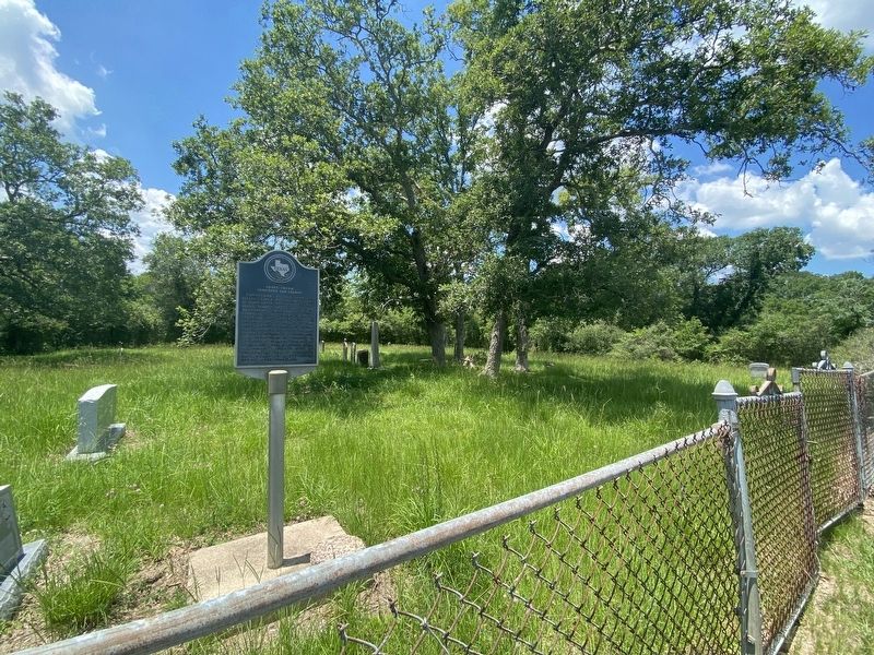
2. Snake Creek Cemetery and Church marker and cemetery perspective.
Photographed by Madeleine Schimmer, June 9, 2023
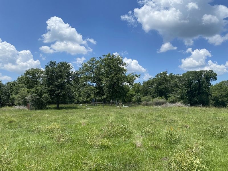
3. The marker and cemetery are deep into private pasture land.
The private dirt road runs out within the private pasture land and it is a quarter mile walk from where the dirt road ends. This location is not easily accessible, and owner permission and assistance is required to get to this marker and cemetery as the pasture land is protected by a series of locked cattle gates to keep livestock from escaping and roaming.

Photographed by Madeleine Schimmer, June 9, 2023
4. Snake Creek Cemetery and Church
View looking back from cemetery where the road ends. A truck or 4-wheel drive vehicle would be required to travel to location after getting permission and assistance from land owner to access this road beyond a series of locked cattle gates.
Photographed by Madeleine Schimmer, June 9, 2023
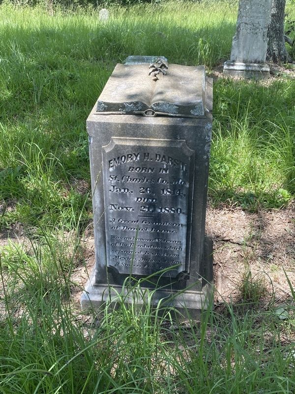
5. Gravestone of Emory H. Darst, a veteran of the Battle of San Jacinto.
Credits. This page was last revised on June 12, 2023. It was originally submitted on June 12, 2023, by Madeleine Schimmer of Richmond, Texas. This page has been viewed 513 times since then and 56 times this year. Photos: 1, 2, 3, 4, 5. submitted on June 12, 2023, by Madeleine Schimmer of Richmond, Texas. • Bernard Fisher was the editor who published this page.
