Near Maryton in Caroline County, Virginia — The American South (Mid-Atlantic)
Caroline County / Spotsylvania County
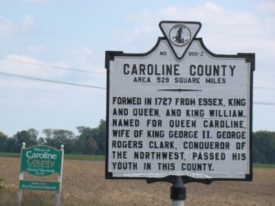
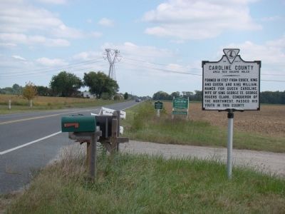
Caroline County. Area 529 Square Miles. Formed in 1727 from Essex, King and Queen, and King William. Named for Queen Caroline, wife of King George II. George Rogers Clark, conqueror of the Northwest, passed his youth in this county.
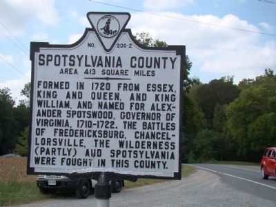
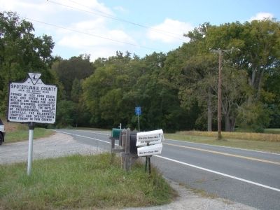
Spotsylvania County. Area 413 square miles. Formed in 1720 from Essex, King and Queen, and King William, and named for Alexander Spotswood, governor of Virginia, 1710–1722. The battles of Fredericksburg, Chancellorsville, The Wilderness (partly) and Spotsylvania were fought in this county.
Erected 1929 by Conservation & Development Commission. (Marker Number Z-200.)
Topics and series. This historical marker is listed in these topic lists: Colonial Era • Political Subdivisions • War, US Civil. In addition, it is included in the Virginia Department of Historic Resources (DHR) series list. A significant historical year for this entry is 1727.
Location. 38° 14.312′ N, 77° 22.169′ W. Marker is near Maryton, Virginia, in Caroline County. Marker is on U.S. 17, on the right. Touch for map. Marker is in this post office area: Fredericksburg VA 22408, United States of America. Touch for directions.
Other nearby markers. At least 8 other markers are within 4 miles of this marker, measured as the crow flies. Stafford County / King George County (approx. 2.2 miles away); Colonial Post Office (approx. 2.2 miles away); Spotsylvania County / Caroline County (approx. 2˝ miles away); The Winter Line (approx. 2.8 miles away); The Gallant Pelham (approx. 2.8 miles away); Confederate Earthworks (approx. 2.8 miles away); Sherwood Forest (approx. 2.9 miles away); Stuart and Pelham (approx. 3.2 miles away).
Credits. This page was last revised on July 3, 2021. It was originally submitted on September 20, 2009, by J. J. Prats of Powell, Ohio. This page has been viewed 1,228 times since then and 32 times this year. Photos: 1, 2, 3, 4. submitted on September 20, 2009, by J. J. Prats of Powell, Ohio.


