Broken Arrow in Tulsa County, Oklahoma — The American South (West South Central)
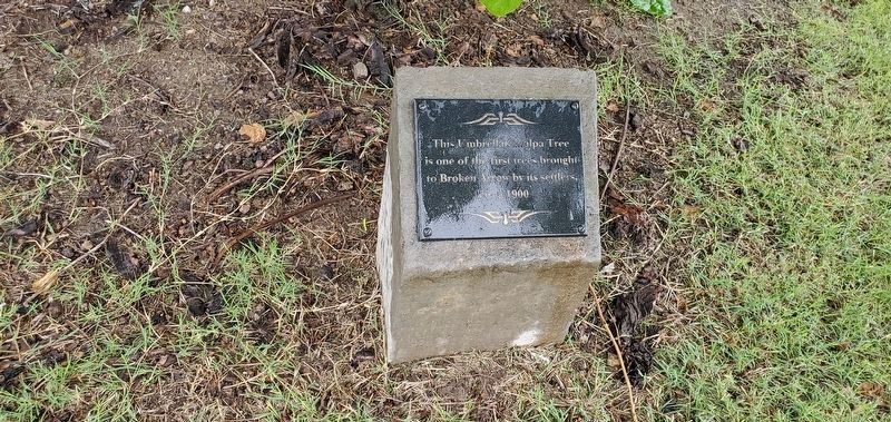
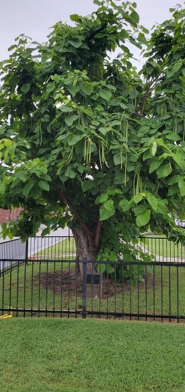
Umbrella Catalpa Tree
Photographed by Andrew Foreman, June 10, 2023
1. Catalpa Tree Marker
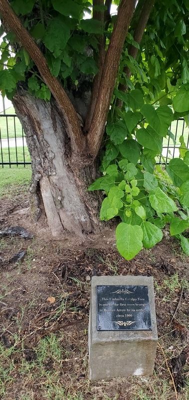
This Umbrella Catalpa Tree is one of the first trees brought to Broken Arrow by its settlers, circa 1900
Erected by City of Broken Arrow.
Topics. This historical marker is listed in these topic lists: Environment • Horticulture & Forestry • Settlements & Settlers. A significant historical year for this entry is 1900.
Location. 36° 3.08′ N, 95° 47.53′ W. Marker is in Broken Arrow, Oklahoma, in Tulsa County. It is at the intersection of West Commercial Street, on the right when traveling east on West Commercial Street. Touch for map. Marker is at or near this postal address: 123 W Commercial St, Broken Arrow OK 74012, United States of America. Touch for directions.

Regionally, this marker is in the Muscogee Nation, specifically in the Cherokee Nation, in Northeast Oklahoma—Green Country, and in Greater Tulsa. It is also in the American South, specifically on the prairies, and on the Southern Plains. Globally, it is in North America, the Western Hemisphere, the Western World, and the Anglosphere. Historically, it finds itself in what was once the territory of the Mississippian Culture and also
this page online
Other nearby markers. At least 8 other markers are within walking distance of this marker: 302 Brown-Kimbrough Center for Arts, Innovation & Creativity (about 500 feet away, measured in a direct line); Kentucky Colonel Hotel (approx. 0.2 miles away); F.S. Hurd House (approx. 0.2 miles away); First Broken Arrow Public School (approx. 0.2 miles away); Ralph Blane Boyhood Home (approx. 0.2 miles away); Katy Railroad Depot (approx. 0.2 miles away); Ownby-Rutledge House (approx. ¼ mile away); Fraker-Wells House (approx. ¼ mile away). Touch for a list and map of all markers in Broken Arrow.
Also see . . . Historical Sites.
Summary of historical sites located in Broken Arrow, Oklahoma(Submitted on June 13, 2023, by Andrew Foreman of Broken Arrow, Oklahoma.)
Photographed by Andrew Foreman, June 10, 2023
2. Catalpa Tree Marker
Photographed by Andrew Foreman, June 10, 2023
3. Catalpa Tree
Photographed by Andrew Foreman, June 10, 2023
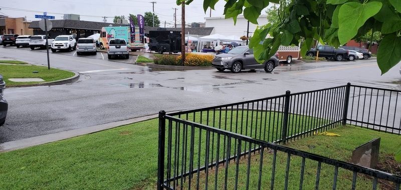
4. Catalpa Tree Marker
This view is from the marker towards the northeast.
Credits. This page was last revised on June 17, 2023. It was originally submitted on June 13, 2023, by Andrew Foreman of Broken Arrow, Oklahoma. This page has been viewed 575 times since then and 122 times this year. Photos: 1, 2, 3, 4. submitted on June 13, 2023, by Andrew Foreman of Broken Arrow, Oklahoma. • J. Makali Bruton was the editor who published this page.
