San Germán in Municipio de San Germán, Puerto Rico — The Caribbean (The West Indies)
Siglo XIX
[19th Century]
| — | [Galeria Historica Sangermeña [Gallery of Sangermeña History]] | — |
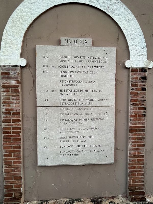

1809: Cabildo imparte instrucciones diputado a corto: Ramon Power.
1839-1844: Construccion ayuntamiento.
1842: Benedicion hospital de la concepcion. • Reconstruccion iglesia porroquial.
1848-1851: Se establece primer teatro en la villa.
1856: Epidemia colera morbo causa estragos en la villa.
1859: Bendicion casa del rey.
1867: Instalacion alumbrado publico.
1871: Instalacion primer telefono casa alcaldia.
1877: Concesion titulo ciudad a San Germán.
1878: Nace primer periodico: Eco de las Lomas.
1880: Fundacion circulo de recreo. • Fundacion caja de economias y prestamos.
1809: Cabildo names short-term deputy: Ramon Power.
1839-1844: Construction of the town hall.
1842: Blessing of the Hospital de la Concepcion. • Reconstruction of the town church.
1848-1851: The first theater is established in town.
1856: Cholera morbo epidemic wreaks havoc in the town.
1859: Blessing of the King's House.
1867: Public lighting installation.
1871: Installation of the first telephone in the town hall.
1877: Concession of city title to San Germán.
1878:
this page online
1880: Recreation circle foundation. • Founding of the savings and loans.
Erected 1985 by Municipio de San Germán.
Topics. This historical marker is listed in these topic lists: Colonial Era • Communications • Government & Politics • Religion & Religious Structures. A significant historical year for this entry is 1809.
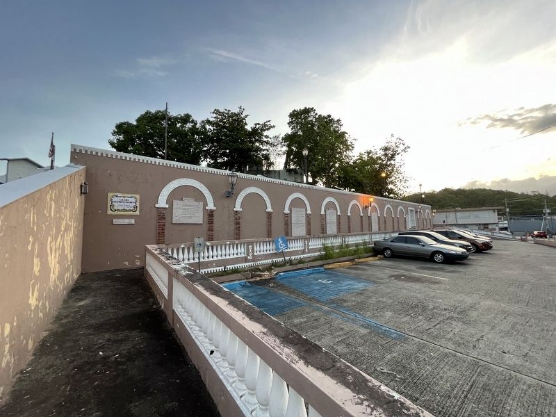
Location. 18° 4.928′ N, 67° 2.422′ W. Marker is in San Germán in Municipio de San Germán, Puerto Rico. It is on Calle Luz Celenia Tirado (Puerto Rico Route 360) east of Calle Yamil Galib, on the right when traveling east. Touch for map. Marker is in this post office area: San German PR 00683, United States of America. Touch for directions.

Regionally, this marker is on the Southern Coastal Zone. Globally, it is one of the Greater Antilles on the Caribbean Sea, on in the Atlantic Ocean, in North America, in the Western Hemisphere, in the Western World, and in the Anglosphere. Historically, it finds itself in what was once a Spanish colony.
Other nearby markers. At least 8 other markers are within 10 kilometers of this marker, measured as the
Credits. This page was last revised on June 13, 2023. It was originally submitted on June 13, 2023, by Devry Becker Jones of Washington, District of Columbia. This page has been viewed 183 times since then and 12 times this year. Photos: 1, 2. submitted on June 13, 2023, by Devry Becker Jones of Washington, District of Columbia.
