Green Prairie Township in Little Falls in Morrison County, Minnesota — The American Midwest (Upper Plains)
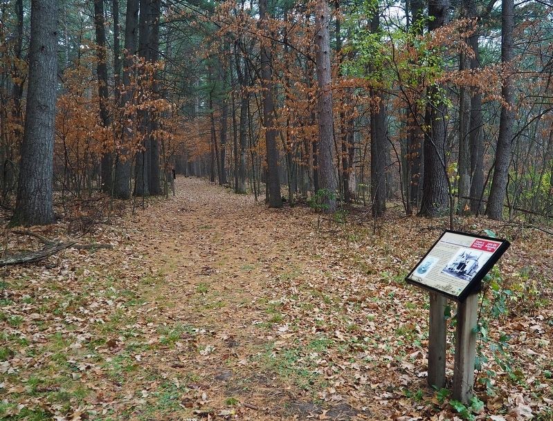
Major Morrill's Road
Charles A. Lindbergh State Park
| — | Little Elk/Schoessling Unit | — |

Photographed by McGhiever, November 3, 2022
1. Major Morrill's Road Marker
From the late 1800s to 1904 this land was owned by retired Indian Agent Major Ashley Morrill.
He had several roads built on the property. One took Morrill from his lavish three-story mansion near the road bridge over Little Elk River to a quiet spot on the river north of here. Morrill's mansion burned to the ground in 1894. A second, more extravagant house was built the same year.
Morrill died in 1904 and the house was sold soon after. The house's lavishness was also its downfall, as the next homeowners couldn't afford to maintain it. The house was vacated and vandalized in its abandonment. It was purchased in 1942 and town down, leaving nothing but two short stone columns, still visible from Grouse Road.
Major Morrill, The Northwest Magazine, Dec 1887
Erected 2010 by Minnesota Department of Natural Resources.
Topics. This historical marker is listed in these topic lists: Architecture • Disasters • Roads & Vehicles. A significant historical year for this entry is 1894.
Location. 46° 0.923′ N, 94° 21.639′ W. Marker is in Little Falls, Minnesota, in Morrison County. It is in Green Prairie Township. It
this page online

Regionally, this marker is in Central Minnesota. It is also in the American Midwest, in the Corn Belt, and in the Great River Road Region. Globally, it is in North America, the Great North Woods, the Western Hemisphere, the Western World, and the Anglosphere. Historically, it finds itself in what was once Rupert’s Land, the territory of the Mississippian Culture, and the Northwest Territory.
Other nearby markers. At least 8 other markers are within walking distance of this marker: Interesting Names (about 400 feet away, measured in a direct line); The French Fort (approx. 0.2 miles away); Institute for MN Archeology Site MO20 (approx. 0.3 miles away); Log Jams (approx. 0.3 miles away); Milling District (approx. 0.3 miles away); Area Settlement (approx. 0.4 miles away); Pike and Nicollet's Visits (approx. 0.4 miles away); Ojibwe Presence
Photographed by McGhiever, November 3, 2022
2. Major Morrill's Road Marker
Credits. This page was last revised on June 14, 2023. It was originally submitted on June 13, 2023, by McGhiever of Minneapolis, Minnesota. This page has been viewed 378 times since then and 28 times this year. Photos: 1, 2. submitted on June 13, 2023, by McGhiever of Minneapolis, Minnesota. • J. Makali Bruton was the editor who published this page.
