
Near Beebe in White County, Arkansas — The American South (West South Central)
Saint Genevieve Trail and the Old Military Road
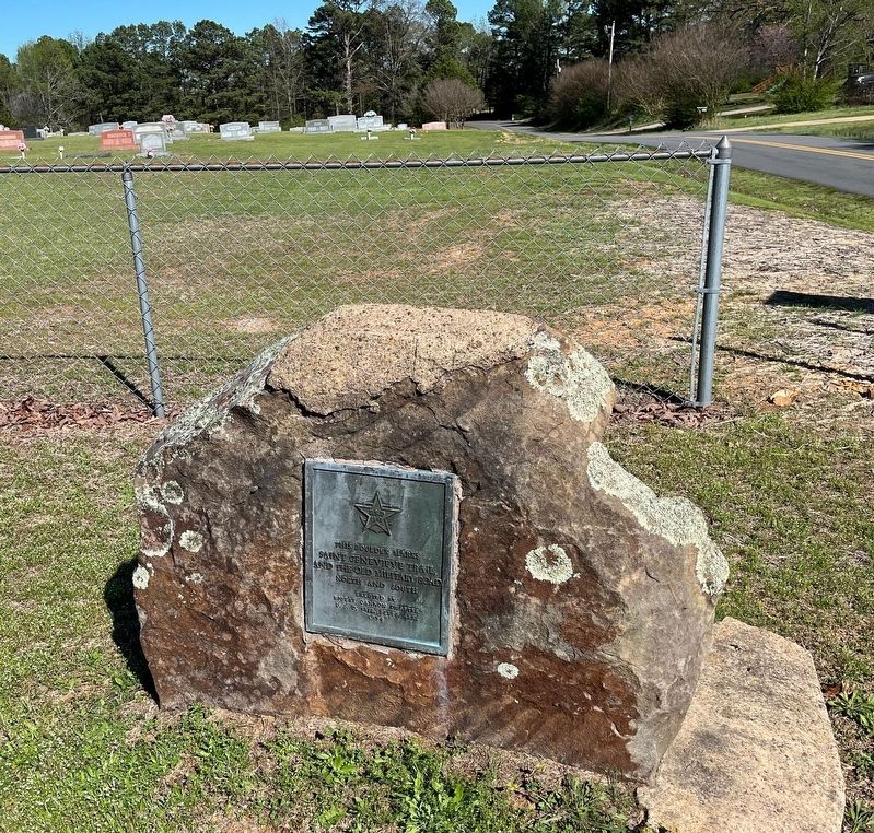
Photographed by Linda S Stone, April 1, 2023
1. Saint Genevieve Trail and the Old Military Road North and South Marker
This boulder marks Saint Genevieve Trail, and the Old Military Road North and South
Erected 1934 by Robert Cannon Chapter U.S.D. 1812, Beebe, Ark.
Topics and series. This historical marker is listed in these topic lists: Roads & Vehicles • Settlements & Settlers. In addition, it is included in the United States Daughters of 1812, National Society series list.
Location. 35° 5.011′ N, 91° 56.658′ W. Marker is near Beebe, Arkansas, in White County. It is on Swinging Bridge Road east of Stoney Point Church Road, on the left when traveling east. Touch for map. Marker is at or near this postal address: 738 Swinging Bridge Rd, Beebe AR 72012, United States of America. Touch for directions.

Regionally, this marker is in the American South and specifically in the Upper South. Globally, it is in North America, the Western Hemisphere, the Western World, and the Anglosphere. Historically, it finds itself in what was once the territory of the Mississippian Culture, the Louisiana Purchase, one of the Confederate States of America, and the Antebellum South.
this page online
Other nearby markers. At least 8 other markers are within 10 miles of this marker, measured as the crow flies: Beebe Veteran's Monument (approx. 2.6 miles away); Beebe Gold Star Family Memorial Monument (approx. 2.6 miles away); Austin in the Civil War (approx. 7 miles away); Austin (approx. 7 miles away); Oakland Grove (Old Austin) (approx. 7 miles away); World War II Memorial (approx. 8.4 miles away); Camp Nelson Confederate Cemetery (approx. 9.7 miles away); Camp Nelson (approx. 9.7 miles away). Touch for a list and map of all markers in Beebe.
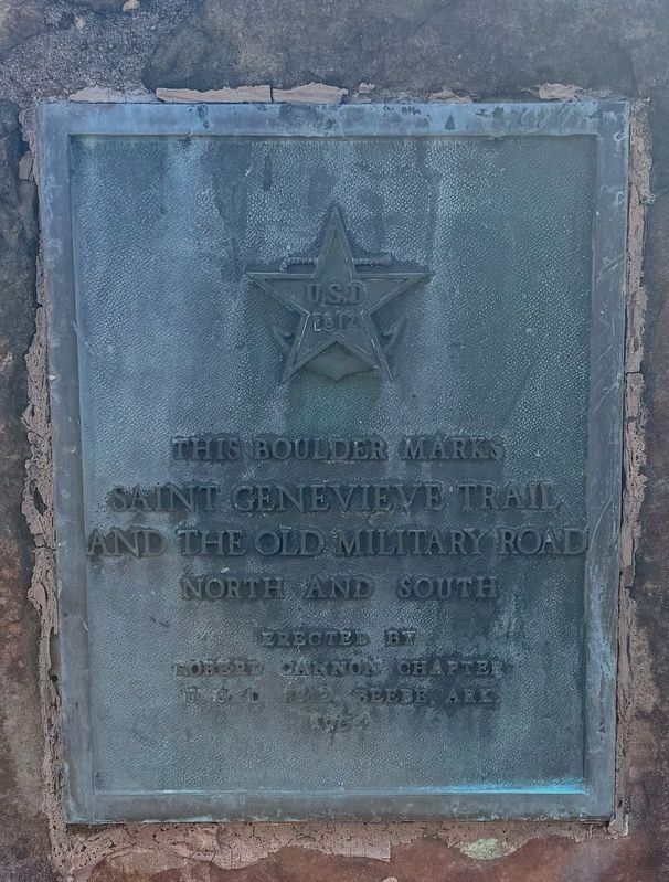
Photographed by David Mcpheeters, January 18, 2025
2. Saint Genevieve Trail and the Old Military Road Marker
Credits. This page was last revised on January 24, 2025. It was originally submitted on June 14, 2023, by Linda S Stone of Beebe, Arkansas. This page has been viewed 617 times since then and 36 times this year. Photos: 1. submitted on June 14, 2023, by Linda S Stone of Beebe, Arkansas. 2. submitted on January 23, 2025, by David Mcpheeters of Vilonia, Arkansas. • J. Makali Bruton was the editor who published this page.
Editor’s want-list for this marker. A clear, close-up photo of the marker. • Can you help?
