Near Columbia in Howard County, Maryland — The American Northeast (Mid-Atlantic)
Adam the First
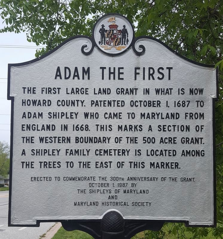
Photographed by J. A. Stewart, May 2020
1. Adam the First
The first large land grant in what is now Howard County. Patented October 1, 1687 to Adam Shipley who came to Maryland from England in 1668. This marks a section of the western boundary of the 500 acre grant. A Shipley family cemetery is located among the trees to the east of this marker.
October 1, 1987 by
the Shipleys of Maryland
and
Maryland Historical Society
Erected 1987 by Shipleys of Maryland, Maryland Historical Society.
Topics and series. This historical marker is listed in these topic lists: Colonial Era • Settlements & Settlers. In addition, it is included in the Maryland Historical Trust series list. A significant historical date for this entry is October 1, 1874.
Location. 39° 12.85′ N, 76° 48.188′ W. Marker is near Columbia, Maryland, in Howard County. It is at the intersection of Waterloo Road (Maryland Route 108) and Richard Valley Road, on the right when traveling north on Waterloo Road. Touch for map. Marker is at or near this postal address: 5705 Richards Valley Rd, Columbia MD 21045, United States of America. Touch for directions.

Regionally,
this page online
Other nearby markers. At least 8 other markers are within 3 miles of this marker, measured as the crow flies: Welcome to Rockburn Branch Park (approx. 1.9 miles away); Christ Episcopal Church (approx. 2.4 miles away); The Bell Tree (approx. 2.8 miles away); Kittamaqundi Community Church 50th Anniversary (approx. 2.8 miles away); The Dealings (approx. 2.8 miles away); The First Kindergarten Class in Columbia to Graduate from High School (approx. 2.8 miles away); a different marker also named Oakland Manor (approx. 2.9 miles away); Trinity on the Pike (approx. 3 miles away). Touch for a list and map of all markers in Columbia.
Another marker is no longer nearby. Oakland Manor (was approx. 2.8 miles away but has been permanently removed).
Additional commentary.
1.
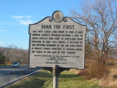
Photographed by F. Robby, December 29, 2003
2. Adam the First Marker
This view is of the marker at its old location. It has been moved to Route 108 in front of 5705 Richards Valley Rd.
I used to live next to the cemetery that was located in the cornfield years ago. My brother discovered it one day while exploring. He did his Eagle Scout project on the cemetery. He had permission to clean it up since it was not properly maintained.
— Submitted August 22, 2017, by Therese A Rose of Ellicot city, Maryland.
2. Elizabeth Shipley Brown
One of the stones in the family cemetery is probably of Elizabeth Shipley Brown, born on December 10, 1781, in Anne Arundel county. She died on August 20, 1850. Her husband was William Chew Brown, born 11 Nov 1776 and died 3 Feb 1856. They had five daughters and two sons.
“Adam the First” (1648-1696) was Elizabeth’s great great grandfather. His wife was Lois Howard (1655-1725). She was a great Aunt to John Eager Howard, 5th Governor of Maryland. Howard County was named after him.
Adam (“the First”) Shipley is my 8th great grandfather. So Elizabeth is a 1st cousin, 6 times removed to me.
— Submitted December 9, 2022, by Lee Hobbins of Laurel, Maryland.
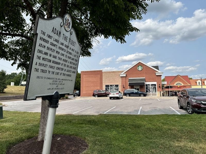
Photographed by Pete Skillman, June 15, 2023
3. New Location of the Adam the First Marker
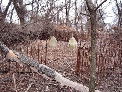
Photographed by John Miller, January 26, 2010
4. Family Cemetery
The cemetery is heavily overgrown and largely untended. Several stones are broken or partially buried. The two upright and (mostly) readable stones are for Elizabeth Brown, 1781-1830(?), and Wm. Chew Brown, born 1776, death date obscured.
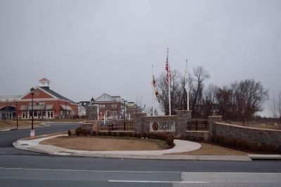
Photographed by John Miller, January 26, 2010
5. Shipley's Grant Complex
The cemetery is in the grove of trees in the background. The former location of the marker is near the right of this photo, showing the entrance of Shipley's Grant shopping center and townhouse complex. Its new location is on the left side of this intersection.

Photographed by Pete Skillman, October 26, 2024
6. Adam the First Marker - Wide view
Credits. This page was last revised on October 13, 2025. It was originally submitted on October 27, 2007, by F. Robby of Baltimore, Maryland. This page has been viewed 5,067 times since then and 248 times this year. Last updated on June 15, 2023, by Pete Skillman of Wilmington, Delaware. Photos: 1. submitted on May 21, 2020, by J. A. Stewart of Ellicott City, Maryland. 2. submitted on October 27, 2007, by F. Robby of Baltimore, Maryland. 3. submitted on June 15, 2023, by Pete Skillman of Wilmington, Delaware. 4, 5. submitted on January 26, 2010, by John Miller of Rising Sun, Maryland. 6. submitted on October 26, 2024, by Pete Skillman of Wilmington, Delaware. • Bill Pfingsten was the editor who published this page.
