Near Rochert in Becker County, Minnesota — The American Midwest (Upper Plains)
Old Indian Trail
Photographed by Connor Olson, September 8, 2019
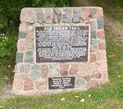
1. Old Indian Trail Marker
Most of the maple forests in the vicinity of Tamarac Lake were used by the Indians until the 1930's. The trees were gashed into the sapwood and the maple sap was collected in birchbark containers placed at the base of the trees. Look for swollen bases on the larger maple trees along the trail. The clearing to the north of this marker is the original early settler clearing of Mr. Ole Dahl, who occupied the site in 1905.
Erected 1963 by Tamarac National Wildlife Refuge, Becker County
this page online
Topics. This historical marker is listed in these topic lists: Horticulture & Forestry • Indigenous Peoples and Communities • Settlements & Settlers.
Location. 46° 56.304′ N, 95° 39.238′ W. Marker is near Rochert, Minnesota, in Becker County. It is on County Road 29 one mile south of County Road 26, on the left when traveling south. Located next to Tamarac Lake. Touch for map. Marker is in this post office area: Rochert MN 56578, United States of America. Touch for directions.

Regionally, this marker is in the American Midwest and in the Corn Belt. Globally, it is in North America, the Western Hemisphere, the Western World, and the Anglosphere. Historically, it finds itself in what was once Rupert’s Land, the territory of the Mississippian Culture, and the Louisiana Purchase.
Other nearby markers. At least 8 other markers are within 13 miles of this marker, measured as the crow flies: Old Government Road (approx. 6.2 miles away); Height of Land (approx. 6.6 miles away); Along the Northern (Laurentian) Divide (approx. 6.6 miles away); Detroit Lakes — A City with a Past
Photographed by Connor Olson, September 8, 2019
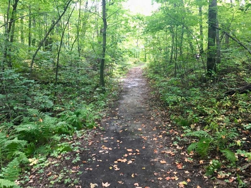
2. The Old Indian Trail
Credits. This page was last revised on June 17, 2023. It was originally submitted on July 29, 2020, by Connor Olson of Menomonee Falls, Wisconsin. This page has been viewed 1,566 times since then and 108 times this year. Last updated on June 16, 2023, by Annette Fillmore of York, Pennsylvania. Photos: 1. submitted on July 29, 2020, by Connor Olson of Menomonee Falls, Wisconsin. 2. submitted on August 4, 2020, by Connor Olson of Menomonee Falls, Wisconsin. • J. Makali Bruton was the editor who published this page.
Editor’s want-list for this marker. A wide shot of the marker and its surroundings. • Can you help?
