Menomonee Valley in Milwaukee in Milwaukee County, Wisconsin — The American Midwest (Great Lakes)
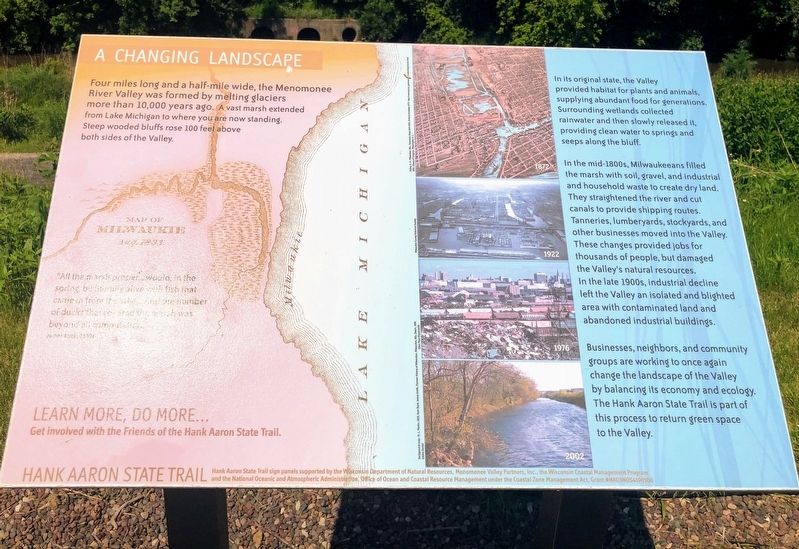
A Changing Landscape
Hank Aaron State Trail
"All the marsh proper...would, in the spring, be literally alive with fish that came in from the lake... And the number of ducks that covered the marsh was beyond all computation."
James Buck, 1830s
In its original state, the Valley provided habitat for plants and animals, supplying abundant food for generations. Surrounding wetlands collected rainwater and then slowly released it, providing clean water to springs and seeps along the bluff.
In the mid-1800s, Milwaukeeans filled the marsh with soil, gravel, and industrial and household waste to create dry land. They straightened the river and cut canals to provide shipping routes. Tanneries, lumberyards, stockyards, and other businesses moved into the Valley. These changes provided jobs for thousands of people, but damaged the Valley's natural resources. In the late 1900s, industrial decline left the Valley an isolated and blighted area with contaminated land and abandoned industrial buildings.
Businesses, neighbors, and community groups are working to once again change the landscape of the Valley by balancing its economy and ecology. The Hank Aaron State Trail is part of this part of this process to return green space to the Valley.
Learn more, do more...Get involved with the Friends of the Hank Aaron State Trail.
Erected by Wisconsin Department of Natural Resources, Menomonee Valley Partners, Inc., Wisconsin Coastal Management Program and the National Oceanic and Atmospheric Administration, Office of Ocean and Coastal Resource Management under the Coastal Zone Management Act, Grant #NA03NOS4190106.
Topics. This historical marker is listed in these topic lists: Environment • Waterways & Vessels.
Location. 43° 1.762′ N, 87° 57.56′ W. Marker is in Milwaukee, Wisconsin, in Milwaukee County. It is in Menomonee Valley. Marker can be reached from Frederick Miller Way west of Selig Drive. Touch for map. Marker is in this post office area: Milwaukee WI 53214, United States of America. Touch for directions.
Other nearby markers. At least 8 other markers are within walking distance of this marker. Milwaukee Road Shops (about 600 feet away, measured in a direct line); The Machine Shop of the World (approx. 0.3 miles away); Hank Aaron - Changing Times (approx. 0.3 miles away); a different marker also named Hank Aaron - Changing Times (approx. 0.3 miles away); a different marker also named Hank Aaron - Changing Times (approx. 0.3 miles away); Hank Aaron (approx. 0.3 miles away); Hank Aaron State Trail (approx. 0.3 miles away); Immigrants and Silver City (approx. 0.4 miles away). Touch for a list and map of all markers in Milwaukee.
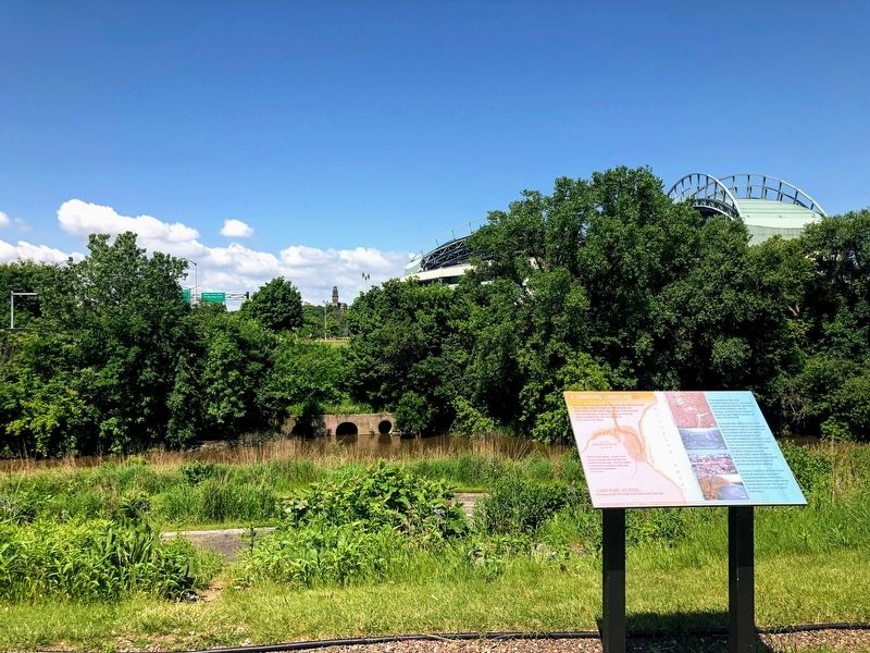
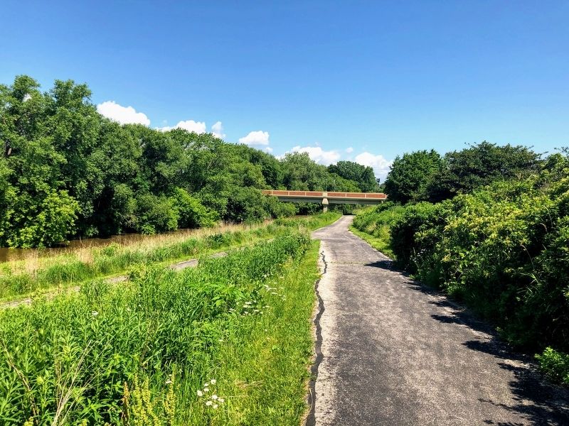
More about this marker. The marker is located in the east parking lot of Miller Park. The marker is near the southwest corner of the parking lot and is between the parking lot and the Hank Aaron State Trail/Menomonee River.
Credits. This page was last revised on June 17, 2023. It was originally submitted on October 24, 2019, by Devon Polzar of Port Washington, Wisconsin. This page has been viewed 234 times since then and 16 times this year. Last updated on June 16, 2023, by Jim Schaettle of Madison, Wisconsin. Photos: 1, 2, 3. submitted on October 27, 2019, by Devon Polzar of Port Washington, Wisconsin. • J. Makali Bruton was the editor who published this page.


