Marengo in Calhoun County, Michigan — The American Midwest (Great Lakes)
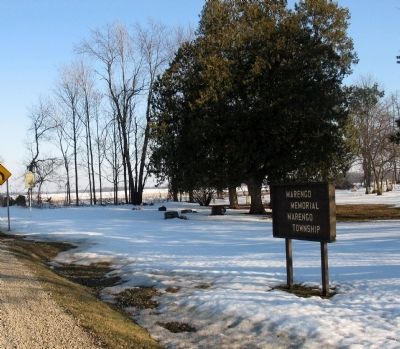
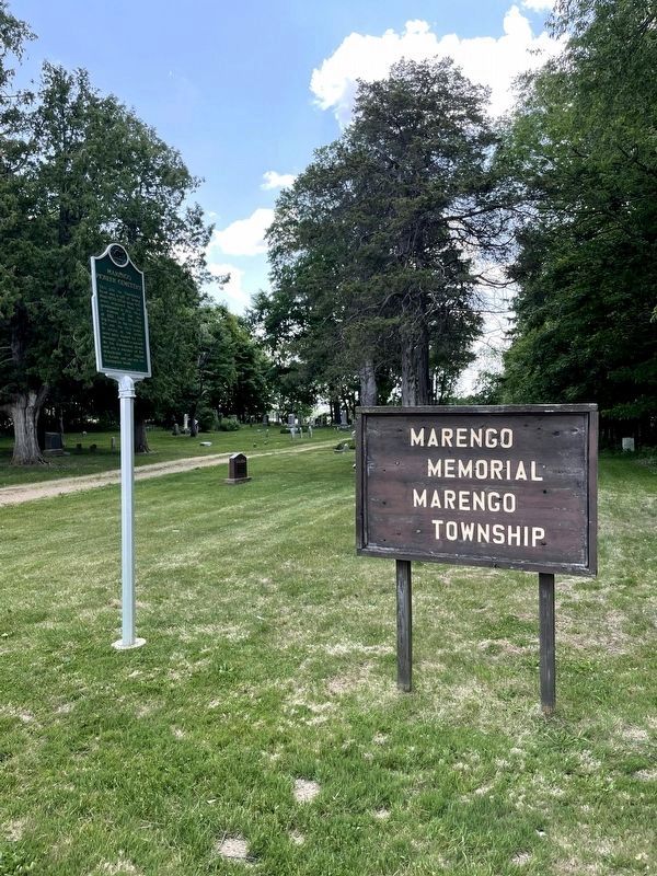
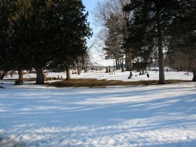
Marengo Pioneer Cemetery
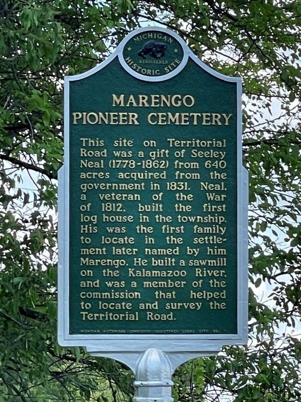
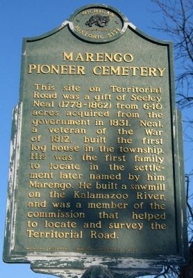
This site on Territorial Road was a gift of Seeley Neal (1778-1862) from 640 acres acquired from the government in 1831. Neal, a veteran of the War of 1812, built the first log house in the township. His was the first family to locate in the settlement later named by him Marengo. He built a sawmill on the Kalamazoo River, and was a member of the commission that helped locate and survey the Territorial Road.
Erected by Michigan Historical Commission. (Marker Number 1.)
Topics and series. This historical marker is listed in these topic lists: Cemeteries & Burial Sites • Roads & Vehicles • Settlements & Settlers • War of 1812. In addition, it is included in the Michigan Historical Commission series list. A significant historical year for this entry is 1831.
Location. 42° 16.532′ N, 84° 53.197′ W. Marker is in Marengo, Michigan, in Calhoun County. Marker is on Michigan Avenue, on the right when traveling east. Touch for map. Marker is at or near this postal address: 21000 East Michigan Avenue, Marshall MI 49068, United States of America. Touch for directions.
Other nearby markers. At least 8 other markers are within 4 miles of this marker, measured as the crow flies. Brotherhood of Locomotive Engineers (approx. 3.2 miles away); Cabin of Adam Crosswhite (approx. 3.2 miles away); Gorham Street (approx. 3.2 miles away); Gordon Street (approx. 3.4 miles away); Calhoun County Fair (approx. 3.4 miles away); Capitol Hill School (approx. 3.4 miles away); Montgomery Street (approx. 3.4 miles away); Samuel Coleman House (approx. 3˝ miles away).
Credits. This page was last revised on June 17, 2023. It was originally submitted on March 9, 2010. This page has been viewed 1,244 times since then and 53 times this year. Last updated on June 16, 2023. Photos: 1. submitted on June 16, 2023, by John Garman of Rochester Hills. 2, 3. submitted on March 9, 2010. 4. submitted on June 16, 2023, by John Garman of Rochester Hills. 5. submitted on March 9, 2010. • J. Makali Bruton was the editor who published this page.
