Near Shelbyville in Shelby County, Indiana — The American Midwest (Great Lakes)
Whetzel Trace
After the War of 1812
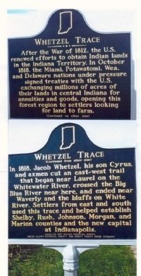
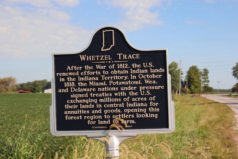
After the War of 1812, the U.S. renewed efforts to obtain Indian lands in the Indiana Territory. In October 1818, the Miami, Potawatomi, Wea, and Delaware nations under pressure signed treaties with the U.S. exchanging millions of acres of their lands in central Indiana for annuities and goods, opening this forest region to settlers looking for land to farm.
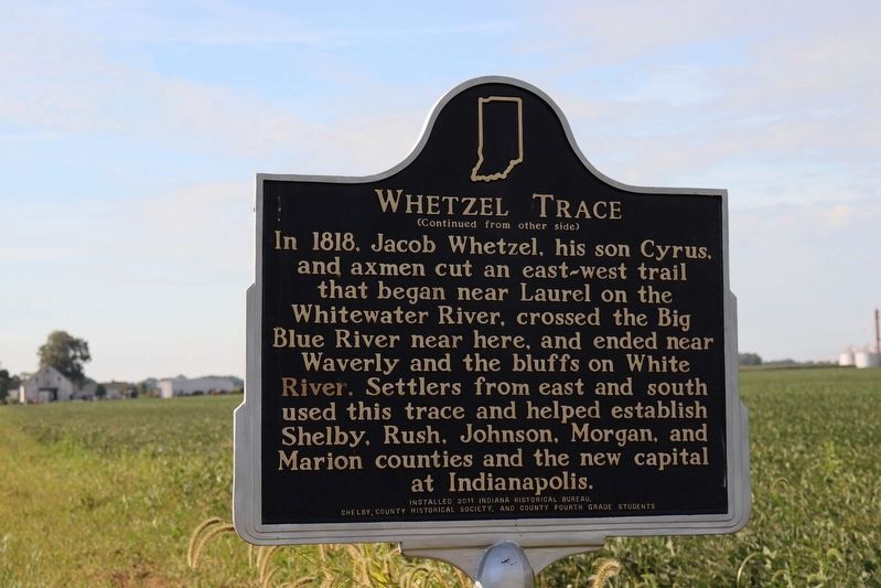
In 1818, Jacob Whetzel, his son Cyrus, and axmen cut an east-west trail that began near Laurel on the Whitewater River, crossed the Big Blue River near here, and ended near Waverly and the bluffs on White River. Settlers from east and south used this trace and helped establish Shelby, Rush, Johnson,Morgan, and Marion counties and the new capital at Indianapolis.
Erected 2011 by Indiana Historical Bureau, Shelby County Historical Society, and County Fourth Grade Students. (Marker Number 73.2011.1.)
Topics and series. This historical marker is listed in these topic lists: Native Americans • Roads & Vehicles. In addition, it is included in the Indiana Historical Bureau Markers series list. A significant historical month for this entry is October 1818.
Location. 39° 35.608′ N, 85° 46.61′ W. Marker is near Shelbyville, Indiana, in Shelby County. Marker is on State Road 9, half a mile north of County Road 425N, on the left when traveling north. The marker stands three miles north of Interstate I-74. Touch for map. Marker is at or near this postal address: 4565 State Road 9, Shelbyville IN 46176, United States of America. Touch for directions.
Other nearby markers. At least 8 other markers are within 14 miles of this marker, measured as the crow flies. Thomas A. Hendricks 1819- 1885 (approx. 4.6 miles away); Wilbur Shaw (approx. 4.6 miles away); Site of Home of Thomas Andrews Hendricks (approx. 4.7 miles away); Historic Shelbyville High School 1896 (approx. 4.9 miles away); Indiana's First Railroad (approx. 4.9 miles away); Civil War Memorial - Shelby County Indiana (approx. 5 miles away); Site of Old Hancock County Seminary (approx. 13.2 miles away); Hancock County Veterans Memorial (approx. 13.2 miles away). Touch for a list and map of all markers in Shelbyville.
Credits. This page was last revised on September 5, 2023. It was originally submitted on September 18, 2012, by Kern Butler of Auburn, Indiana. This page has been viewed 953 times since then and 82 times this year. Last updated on June 17, 2023, by Trevor L Whited of Kokomo, Indiana. Photos: 1. submitted on September 18, 2012, by Kern Butler of Auburn, Indiana. 2, 3. submitted on September 4, 2023, by Trevor L Whited of Kokomo, Indiana. • Devry Becker Jones was the editor who published this page.


