Rubicon Township in Port Hope in Huron County, Michigan — The American Midwest (Great Lakes)
Oil House
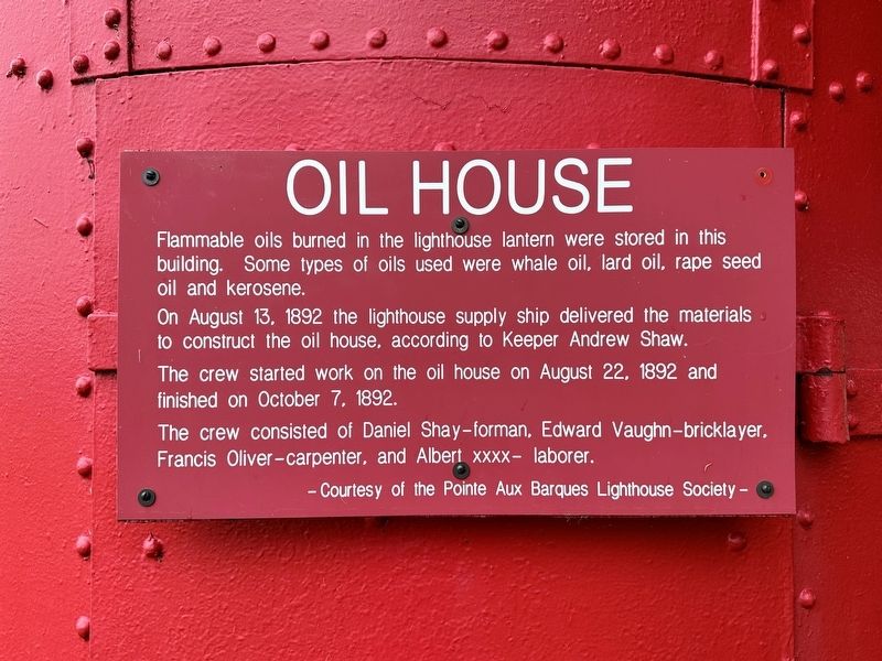
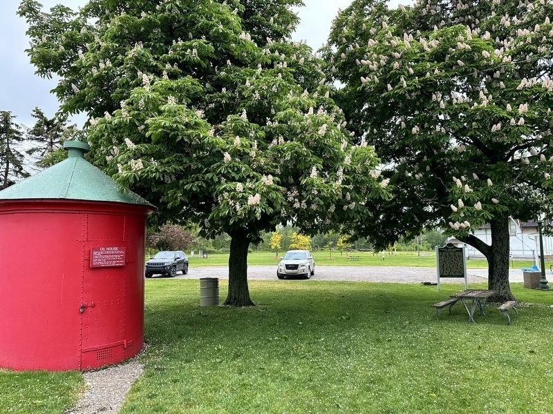
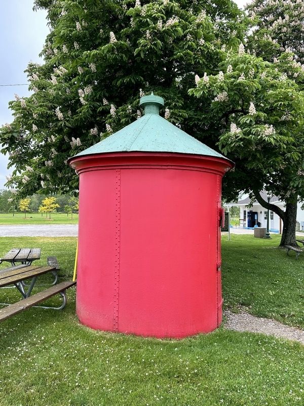
Flammable oils burned in the lighthouse lantern were stored in this building. Some types of oils used were whale oil, lard oil, rape seed oil and kerosene.
On August 13, 1892 the lighthouse supply ship delivered the materials to construct the oil house, according to Keeper Andrew Shaw.
The crew started work on the oil house on August 22, 1892 and finished on October 7, 1892.
The crew consisted of Daniel Shay-forman, Edward Vaughn-bricklayer. Francis Oliver-carpenter, and Albert xxxx- laborer.
Erected by Pointe Aux Barques Lighthouse Society.
Topics. This historical marker is listed in these topic lists: Parks & Recreational Areas • Waterways & Vessels. A significant historical date for this entry is October 7, 1892.
Location. 44° 1.359′ N, 82° 47.6′ W. Marker is in Port Hope, Michigan, in Huron County. It is in Rubicon Township. Marker is on Park Drive near Gulick Drive, on the right when traveling north. Touch for map. Marker is at or near this postal address: 7320 Lighthouse Road, Port Hope MI 48468, United States of America. Touch for directions.
Other nearby markers. At least 8 other markers are within walking distance of this marker. Daniel J. Morrell (here, next to this marker); Pointe Aux Barques Lighthouse (a few steps from this marker); Life Saving Station (a few steps from this marker); Pointe aux Barques Lighthouse (a few steps from this marker); Brigantine E. Cohen (a few steps from this marker); The Great Lakes (a few steps from this marker); Life Saving Service, Station 2 (within shouting distance of this marker); Storm of 1913 (within shouting distance of this marker). Touch for a list and map of all markers in Port Hope.
Credits. This page was last revised on June 17, 2023. It was originally submitted on June 17, 2023, by J.T. Lambrou of New Boston, Michigan. This page has been viewed 53 times since then and 5 times this year. Photos: 1, 2, 3, 4, 5. submitted on June 17, 2023, by J.T. Lambrou of New Boston, Michigan. • J. Makali Bruton was the editor who published this page.


