
Rubicon Township in Port Hope in Huron County, Michigan — The American Midwest (Great Lakes)
Daniel J. Morrell

Photographed by J.T. Lambrou, June 12, 2023
1. Daniel J. Morrell Marker
A standard 600-footer with breadth of 58 feet and drawing 27.4 feet, the Daniel J. Morrell was a turn-of-the-century bulk freighter hauling limestone, coal, iron ore and taconite.
The Morrell was one of the few documented cases of a great Lakes vesel breaking in two because of a storm. The loss of life was caused by a lack of distress signals - the electrical power was cut off when the Morrell broke in two.
The bow and stern are almost five miles apart on the bottom of Lake Huron.
The following crew members lost their lives as a result of this disaster:
Crawley, Arthur I., Master • Kapets, Phillip E., First Mate • MacLeod, Duncan R., Second Mate • Marcotte, Ernest G., Third Mate • Fosbender, Charles H., Wheelman • Rischmiller, Henry, Wheelman • Campbell, Stuart A., Wheelman • Whoeme, Albert P., Watchman • Bragg, Norman M., Watchman • Davis, Larry G., Ordinary Deckwatch • Grow, John M., Ordinary Deckwatch • Stoke, Arthur E., Deckhand • Clear Jr., John J., Deckhand • Schmidt, John H., Chief Engineer • Marchildon, Valor A., First Assistant Engineer • Norkunas, Alfred G., Second Assistant Engineer • Dahl, George A.,
this page online
The following crew member was the sole survivor of this disaster: Hale, Dennis N. Watchman
There are six missing crew that have never been found.
In 1922, the Daniel J. Morrell was the first Great Lakes vessel to be equipped with a gyro compass. The compass now resides in the Smithsonian Institute in Washington, D.C. Gyro compasses are now widely used for navigation on all ships due to its advantages over the magnetic compass.
Inset photo captions from bottom:
Dennis Hale with a piece of the Life Raft on which he spent 39 hours during the storm. He was rescued by the Coast Guard less than half a mile below Pointe aux Barques Lighthouse. Dennis passed away on September 2, 2015 at his home in Ashtabula, Ohio. The raft piece is on display in the Pointe aux Barques Museum
Bow section lies
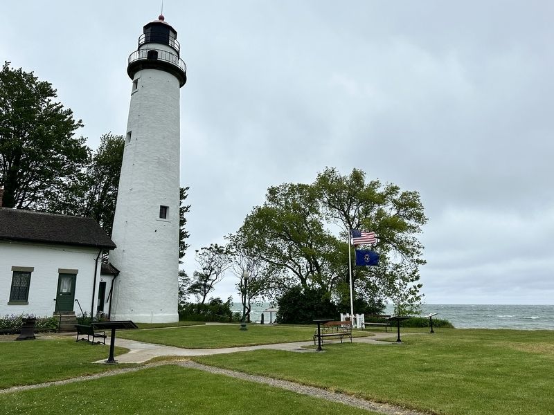
Photographed by J.T. Lambrou, June 12, 2023
2. Daniel J. Morrell Marker
Stern section lies in 120 feet of water, 16.36 nautical miles from Pointe aux Barques Lighthouse. Coordinates are 44 degrees, 15.478' N, 82 degrees, 50.088 W.
Topics and series. This historical marker is listed in these topic lists: Disasters • Waterways & Vessels. In addition, it is included in the Lighthouses, and the Lost at Sea series lists. A significant historical date for this entry is November 29, 1966.
Location. 44° 1.361′ N, 82° 47.597′ W. Marker is in Port Hope, Michigan, in Huron County. It is in Rubicon Township. It can be reached from Park Drive near Gulick Drive. Touch for map. Marker is at or near this postal address: 7320 Lighthouse Road, Port Hope MI 48468, United States of America. Touch for directions.

Regionally, this marker is on Michigan’s Thumb and in one of the Lake Huron Shore counties. It is also in the American Midwest. Globally, it is in North America, on the Great Lakes, in the Western Hemisphere, in the Western World, and in the Anglosphere. Historically, it finds
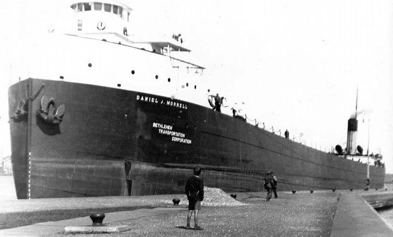
Photographed by Unknown author, 1936
3. Daniel J. Morell in 1936 inside the Soo Locks
Public Domain
Other nearby markers. At least 8 other markers are within walking distance of this marker: Oil House (here, next to this marker); Life Saving Station (here, next to this marker); Pointe Aux Barques Lighthouse (a few steps from this marker); Pointe aux Barques Lighthouse (a few steps from this marker); Brigantine E. Cohen (a few steps from this marker); The Great Lakes (a few steps from this marker); Life Saving Service, Station 2 (a few steps from this marker); Storm of 1913 (a few steps from this marker). Touch for a list and map of all markers in Port Hope.
Related marker. Click here for another marker that is related to this marker.
Also see . . . SS Daniel J. Morrell. Excerpt:
SS Daniel J. Morrell was a 603-foot (184 m) Great Lakes freighter that broke up in a strong storm on Lake Huron on 29 November 1966, taking with her 28 of her 29 crewmen. The freighter was used to carry bulk cargoes such as iron ore but was running with only ballast when the 60-year-old ship sank. When built in 1906, she was the "Queen of the Lakes", being the longest ship then in service(Submitted on June 18, 2023, by J.T. Lambrou of New Boston, Michigan.)on the Great Lakes.Mathew Benjamin Brady - Library of Congress Prints and Photographs Division, circa 18704. Daniel J. MorrellNamesake of the vessel. Daniel Morrell was a U.S. House of Representatives member from Pennsylvania from 1867–1871.

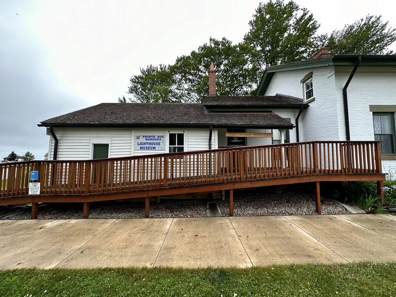
Photographed by J.T. Lambrou, June 12, 2023
5. Pointe aux Barques Museum
The piece of the life raft that Dennis Hale clung to is on display in this museum at the same location as the marker.
Credits. This page was last revised on June 18, 2023. It was originally submitted on June 18, 2023, by J.T. Lambrou of New Boston, Michigan. This page has been viewed 1,372 times since then and 381 times this year. Photos: 1, 2, 3, 4, 5. submitted on June 18, 2023, by J.T. Lambrou of New Boston, Michigan. • J. Makali Bruton was the editor who published this page.
