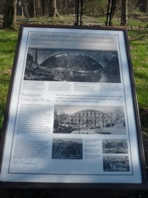
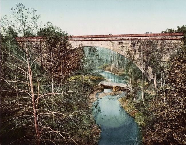
Building The Cabin John Bridge
"… in our midst exists one of the most imposing and wonderful structures which engineering skill could devise …"
--William T.S. Curtis, November 1, 1897, from a paper read before the Columbia Historical Society.
As late as the mid-19th century, Georgetown and Washington, D.C. lacked a plentiful and reliable source of safe drinking water and adequate water for fighting fires. In 1851 Congress commissioned studies to solve the city’s water problem well into the future.
The brilliant young U.S. Army engineer, Lieutenant Montgomery C. Meigs (soon to be Captain and later General) conceived the plan for the Washington Aqueduct and supervised its construction. Completion of the Aqueduct 12 years later allowed delivery of nearly 100 million gallons of water each day to the nation’s capital.
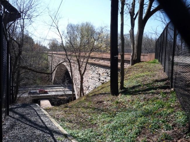
The building of the Washington Aqueduct was an internationally renowned engineering accomplishment. The crowning achievement and most celebrated aspect of the original Washington Aqueduct is the Cabin John Bridge, also known as the Union Arch Bridge, has supplied drinking water to the city of Washington since 1863.
Building the Cabin John Bridge
"During the striking of the center the closest instrumental observation failed to discover the slightest settlement in this, the largest stone arch in the world, 220 feet
--M. C. Meigs in his final report, September 30, 1861.
To transport materials to the bridge site, a dam was built on Cabin John Creek below the bridge location, and the resulting pool was connected by a lock to the C&O Canal, 1,000 feet to the south. Materials were loaded on canal barges, either at Georgetown or at the Seneca Quarry to the west, and the barges were floated to a point beneath the bridge. A heavy timber trestle supported derricks and a traveling crane which was used to hoist the timbers and stone into place. A center arch of timbers supported the masonry during construction. The cut stone arch of Quincy granite, transported by ship from Massachusetts, was “keyed” on December 4th 1858. The centering structure was removed on August 12th 1861 when spandrel arches were nearly completed and the maximum load was resting on the granite arch.
Erected 2001 by Cabin John Citizens Association.
Topics and series. This historical marker is listed in these topic lists: Bridges & Viaducts • Industry & Commerce • Waterways & Vessels. In addition, it is included in the ASCE Civil Engineering Landmarks, the Chesapeake and Ohio (C&O) Canal, and the National Historic Landmarks series lists. A significant historical date for this entry is April 7, 1974.
Location. 38° 58.355′
Other nearby markers. At least 8 other markers are within walking distance of this marker. "…an extravagant expression of Victorian romanticism." (here, next to this marker); "The best scenery lies beyond the city, especially in the neighborhood of Cabin John Creek…" (here, next to this marker); A Life of Service (approx. 0.6 miles away); A Heroine's Home (approx. 0.6 miles away); Clara Barton House (approx. 0.6 miles away); a different marker also named The Clara Barton House (approx. 0.6 miles away); “A riotous country jumble” (approx. 0.6 miles away); The Clara Barton Trail (approx. 0.6 miles away). Touch for a list and map of all markers in Cabin John.
More about this marker. On the top of Panel 1 is a photo of the arch as completed. In the lower section of the Panel are other photos showing the construction of the arch. One in the center shows The completed center arch of timbers–probably taken early in 1858. To the lower center is a photo of the The completed granite arch, keyed in December 1858. To the lower right
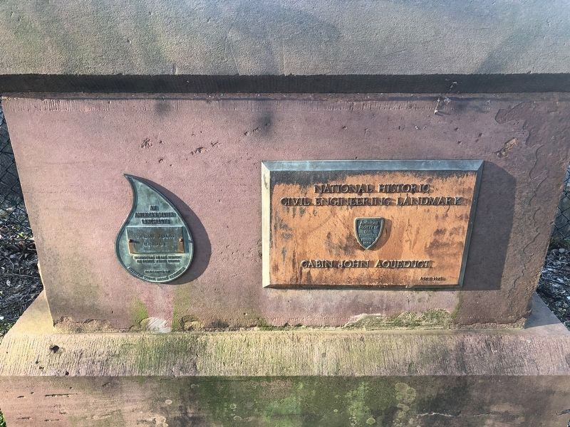
Regarding Building The Cabin John Bridge. The Washington Aqueduct was designated a National Historic Landmark in 1973.
Although John Philip Sousa once introduced the Marine Corps Band, who performed his Washington Post March on the bandstand at the Cabin John Bridge Hotel, it was not the first performance of the piece. In fact, the first performance of the march was actually in 1889 on the grounds of the Smithsonian Institution in Washington, D.C.
Acknowledgment.
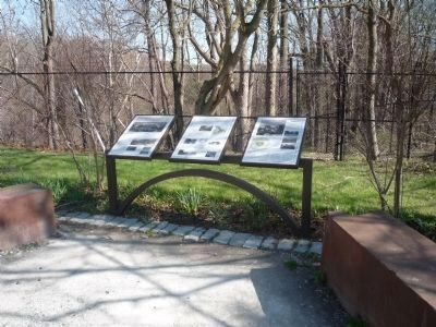
These three panels were prepared by Gerald Quinn with the support of the Cabin John Citizens Association and a grant from the Bethesda-Chevy Chase Regional Services Center (Montgomery County Government). The panels are based in part on prior work done by Mr. Quinn and Peter Vogt, both Cabin John residents. The steel base of the display, which reflects the graceful curve of the bridge itself, was designed by Mr. Quinn and constructed by the Army Corps of Engineers–Washington Aqueduct Division. The effort by the local community, Montgomery County, and the Army celebrates this important engineering feat,
November 17, 2001;
Completion of the Cabin John Bridge Restoration.
Also see . . .
1. Cabin John History. Community website entry (Submitted on April 11, 2009, by Richard E. Miller of Oxon Hill, Maryland.)
2. Union Arch Bridge. Wikipedia entry (Submitted on April 11, 2009, by Richard E. Miller of Oxon Hill, Maryland.)
3. Cabin John: Legends and Life of an Uncommon Place. by Judith Welles. (Submitted on September 22, 2009, by Richard E. Miller of Oxon Hill, Maryland.)
Additional keywords. Washington Aqueduct National Historic Landmark
Credits. This page was last revised on March 9, 2022. It was originally submitted on April 11, 2009, by Richard E. Miller of Oxon Hill, Maryland. This page has been viewed 2,686 times since then and 45 times this year. Last updated on September 22, 2009, by Judith Welles of Cabin John, Maryland. Photos: 1, 2, 3, 4. submitted on April 11, 2009, by Richard E. Miller of Oxon Hill, Maryland. 5. submitted on August 29, 2015. 6. submitted on March 1, 2020, by Devry Becker Jones of Washington, District of Columbia. • Kevin W. was the editor who published this page.
