Amsterdam Oud-West , North Holland, Netherlands — Northwestern Europe
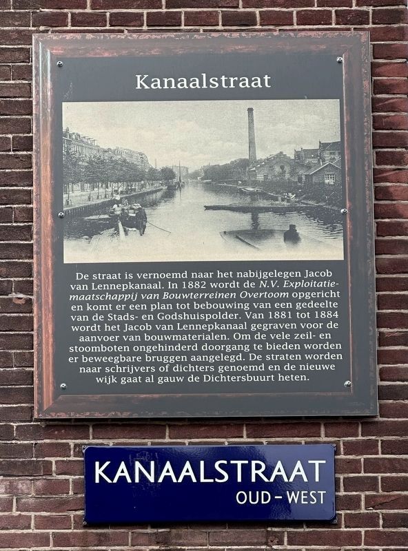
Kanaalstraat / Canal Street
De straat is vernoemd naar het nabijgelegen Jacob van Lennepkanaal. In 1882 wordt de N.V. Exploitatiemaatschappij van Bouwterreinen Overtoom opgericht en komt er een plan tot bebouwing van een gedeelte van de Stads- en Godshuispolder. Van 1881 tot 1884 wordt het Jacob van Lennepkanaal gegraven voor de aanvoer van bouwmaterialen. Om de vele zeil- en stoomboten ongehinderd doorgang te bieden worden er beweegbare bruggen aangelegd. De straten worden naar schrijvers of dichters genoemd en de nieuwe wijk gaat al gauw de Dichtersbuurt heten.
Erected by Geef Straten Een Gezicht.
Topics and series. This historical marker is listed in these topic lists: Roads & Vehicles • Settlements & Settlers • Waterways & Vessels. In addition, it is included in the Give Streets a Face / Geef Straten Een Gezicht series list. A significant historical year for this entry is 1882.
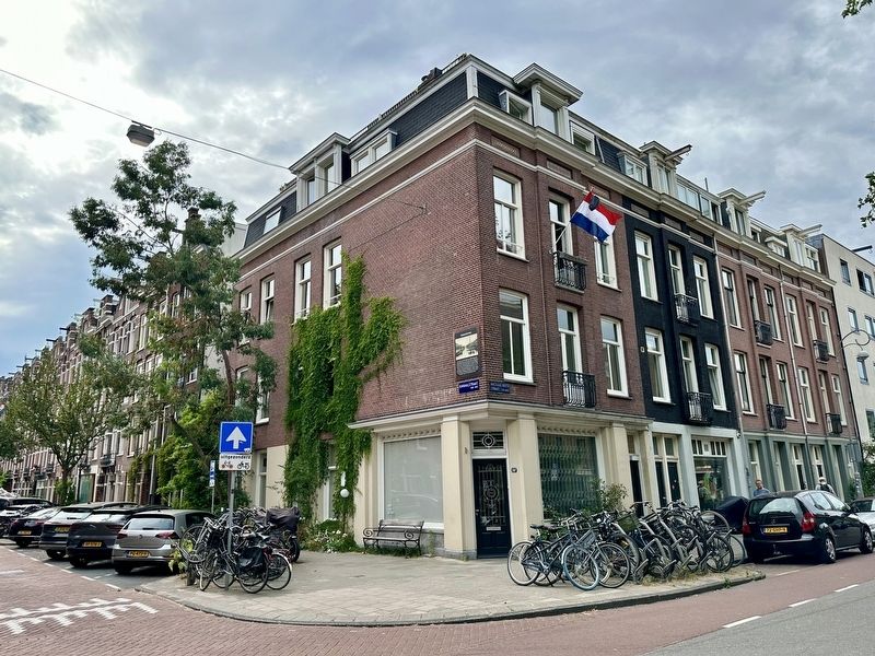
Location. 52° 21.788′ N, 4° 52.02′ E. Marker is in Amsterdam, Noord-Holland (North Holland). It is in Amsterdam Oud-West. Marker is at the intersection of Kanaalstraat and Nicolaas Beetsstraat, on the right when traveling west on Kanaalstraat. Touch for map. Marker is at or near this postal address: Nicolaas Beetsstraat 114HS, Amsterdam, Noord-Holland 1054 WX, Netherlands. Touch for directions.
Other nearby markers. At least 8 other markers are within walking distance of this marker. Arie Biemond (within shouting distance of this marker); Koningin Wilhelmina / Queen Wilhelmina (within shouting distance of this marker); Jeltje de Bosch Kemper (about 150 meters away, measured in a direct line); Ite Boerma (about 150 meters away); Gerard Borst (about 180 meters away); Marius van Bouwdijk Bastiaanse (approx. 0.2 kilometers away); Dirk van Nimwegen (1904-1969), Verzetsman (Member of the Resistance) (approx. 0.2 kilometers away); WG-terrein (compound) (approx. 0.3 kilometers away). Touch for a list and map of all markers in Amsterdam.
Credits. This page was last revised on December 31, 2023. It was originally submitted on June 20, 2023, by Andrew Ruppenstein of Lamorinda, California. This page has been viewed 53 times since then and 13 times this year. Photos: 1, 2. submitted on June 20, 2023, by Andrew Ruppenstein of Lamorinda, California.

