Capitol Hill in Southwest Washington in Washington, District of Columbia — The American Northeast (Mid-Atlantic)
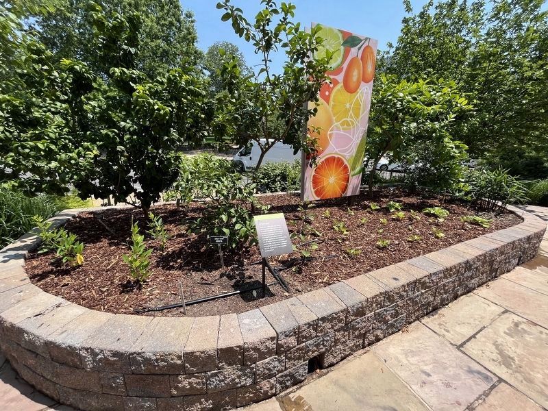
Citrus
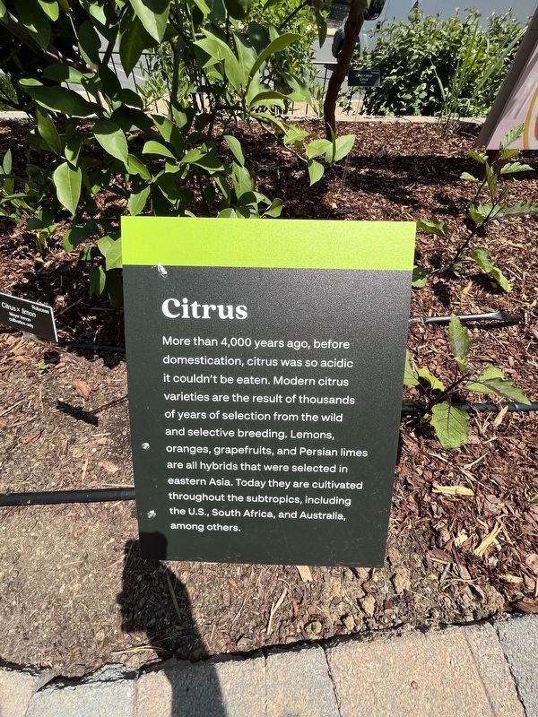
Erected 2023 by U.S. Botanic Garden.
Topics. This historical marker is listed in these topic lists: Anthropology & Archaeology • Horticulture & Forestry.
Location. 38° 53.293′ N, 77° 0.741′ W. Marker is in Southwest Washington in Washington, District of Columbia. It is in Capitol Hill. It is on Maryland Avenue Southwest west of 1st Street Southwest, on the right when traveling east. The marker stands on the grounds of the U.S. Botanic Garden. Touch for map. Marker is at or near this postal address: 100 Maryland Avenue Southwest, Washington DC 20515, United States of America. Touch for directions.

Regionally, this marker is in the Washington Metropolitan
this page online
Other nearby markers. At least 8 other markers are within walking distance of this marker: Medicinal Natives (a few steps from this marker); Grains (within shouting distance of this marker); United States Botanic Garden (within shouting distance of this marker); Capitol Square, SW (within shouting distance of this marker); a different marker also named Capitol Square (within shouting distance of this marker); James A. Garfield (about 300 feet away); a different marker also named Capitol Square, SW (about 300 feet away); Cranberry Bog (about 300 feet away). Touch for a list and map of all markers in Southwest Washington.
Other markers no longer nearby. Power from the Wind (was within shouting distance of this marker but has been permanently removed); a different marker also named Power from the Wind (was about 300 feet away, measured in a direct line but has been permanently removed);
Credits. This page was last revised on November 29, 2023. It was originally submitted on June 21, 2023, by Devry Becker Jones of Washington, District of Columbia. This page has been viewed 210 times since then and 15 times this year. Photos: 1, 2. submitted on June 21, 2023, by Devry Becker Jones of Washington, District of Columbia.
