Dundas in Hamilton, Ontario — Central Canada (North America)
The Desjardins Canal
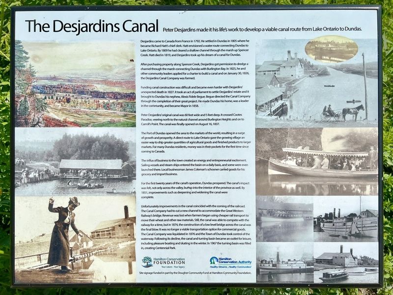
Desjardins came to Canada from France in 1792. He settled in Dundas in 1805 where he became Richard Hatt's chief clerk, Hatt envisioned a water route connecting Dundas to Lake Ontario By 1809 he had cleared a shallow channel through the marsh up Spencer Creek. Hatt died in 1819, and Desjardins took up his dream of a canal for Dundas.
After purchasing property along Spencer Creek, Desjardins got permission to dredge a channel through the marsh connecting Dundas with Burlington Bay. In 1825, he and other community leaders applied for a charter to build a canal and on January 30, 1826, the Desjardins Canal Company was formed.
Funding canal construction was difficult and became even harder with Desjardins unexpected death in 1827. It took an act of parliament to settle Desjardins’ estate and it brought to Dundas his nephew, Alexis Fidele Begue. Begue directed the Canal Company through the completion of their great project. He made Dundas his home, was a leader in the community, and became Mayor in 1858.
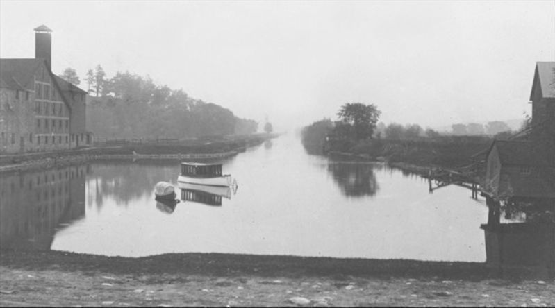
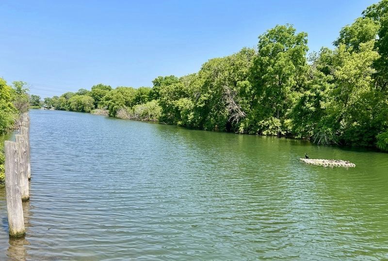
Peter Desjardins’ original canal was 60 feet wide and 5 feet deep. It crossed Cootes Paradise, veering north to the natural channel around Burlington Heights and on to Carroll's Point. The canal was finally opened on August 16, 1837.
The Port of Dundas opened the area to the markets of the world, resulting in a surge of growth and prosperity. A direct route to Lake Ontario gave the growing village an easier way to ship greater quantities of agricultural goods and finished products to larger markets. For many Dundas residents, money was in their pockets for the first time since coming to Canada.
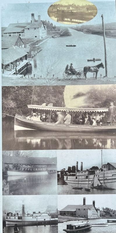
The influx of business to the town created an energy and entrepreneurial excitement. Sailing vessels and steam ships entered the basin on a daily basis, and some were even launched there. Local businessman James Coleman's schooner carried goods for his grocery and import business.
For the first twenty years of the canal's operation, Dundas prospered. The canals impact was felt, not only across the valley but up into the interior of the province as well. By 1851, improvements such as deepening and widening the canal were complete.
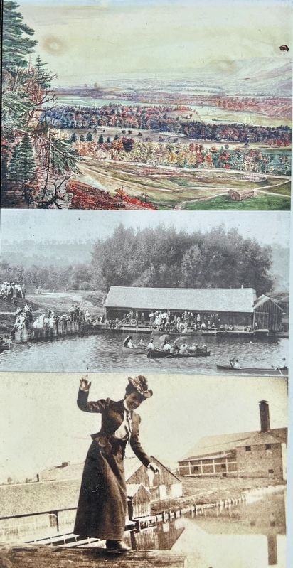
Unfortunately improvements in the canal coincided with the coming of the railroad. The Canal Company had to cut a new channel to accommodate the Great Western Railway's bridge. Revenue was lost when farmers began using cheaper rail transport to move their wheat and other raw materials. Still, the canal was able to compete with the railway for a time, but in 1874, the construction of a low level bridge across the canal was the final blow. It was no longer a viable transportation option for commercial goods. The Canal Company was liquidated in 1876 and the Town of Dundas took control of the waterway. Following its decline the canal and turning basin became an outlet for leisure including pleasure boating and skating in the winter. In 1967 the turning basin was filled in creating Centennial Park.
Hamilton Conservation Foundation
Hamilton Conservation Authority
Site signage funded in part by the Dougher Community Fund at Hamilton Community Foundation
Erected by Hamilton Conservation Foundation, Hamilton Conservation Authority.
Topics. This historical marker is listed in these topic lists: Industry & Commerce • Parks & Recreational Areas • Waterways & Vessels. A significant historical date for this entry is August 16, 1837.
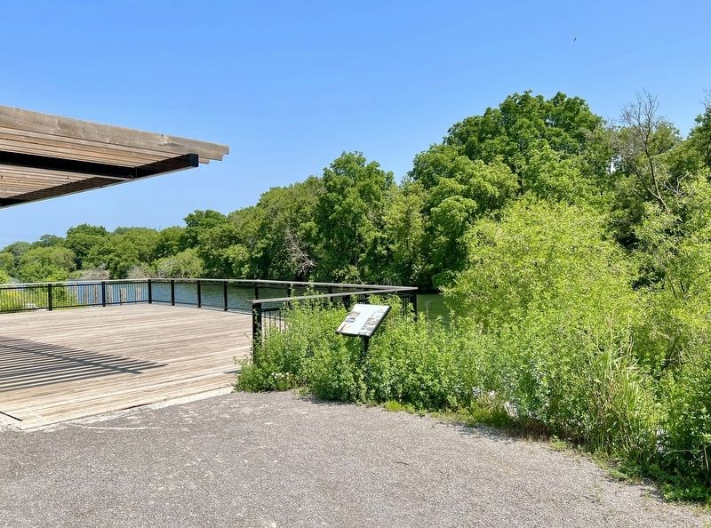
Location. 43° 16.035′ N, 79° 56.447′ W. Marker is in Hamilton, Ontario. It is in Dundas. Marker is on King Street East, 0.3 kilometers east of East Street North, on the right when traveling east. The marker is in Canal Park by the viewing platform. Touch for map. Marker is in this post office area: Hamilton ON L9H 7R1, Canada. Touch for directions.
Other nearby markers. At least 8 other markers are within 3 kilometers of this marker, measured as the crow flies. A different marker also named The Desjardins Canal (approx. 0.3 kilometers away); The Founding of Dundas (approx. 0.3 kilometers away); Sir William Osler in Canada (approx. 0.7 kilometers away); Dundas Driving Park: A Focal Point In Dundas For Over A Century (approx. 0.9 kilometers away); The Dundas Town Hall (approx. one kilometer away); “Dundas Mills” (approx. 1.3 kilometers away); Dundas Cenotaph (approx. 1.8 kilometers away); 102nd Wentworth Field Battery, Royal Canadian Artillery (approx. 1.8 kilometers away). Touch for a list and map of all markers in Hamilton.
Also see . . . The Curse of the Desjardins Canal. Hamilton Spectator article from march 2023
Pierre Desjardins never got to see the canal that would bear his name.(Submitted on June 21, 2023, by Tim Boyd of Hamilton, Ontario.)
Ten years before it finally opened in 1837, the head of the Desjardins Canal Company was found dead in a field in Grimsby under mysterious circumstances.
Some believe he was thrown from his horse while setting out to collect debts on company shares. But an inquest came up with a more spiritual explanation. It said he “died by the visitation of God.”
Whatever took his life, at the age of 52, his sudden death can be seen as part of a pattern of adversity and setbacks that cursed the massive economic development effort to connect the town of Dundas to Hamilton Harbour and Lake Ontario.
Credits. This page was last revised on June 25, 2023. It was originally submitted on June 21, 2023, by Tim Boyd of Hamilton, Ontario. This page has been viewed 197 times since then and 89 times this year. Photos: 1, 2, 3, 4, 5, 6. submitted on June 21, 2023, by Tim Boyd of Hamilton, Ontario. • Andrew Ruppenstein was the editor who published this page.
