Near Batesville in Independence County, Arkansas — The American South (West South Central)
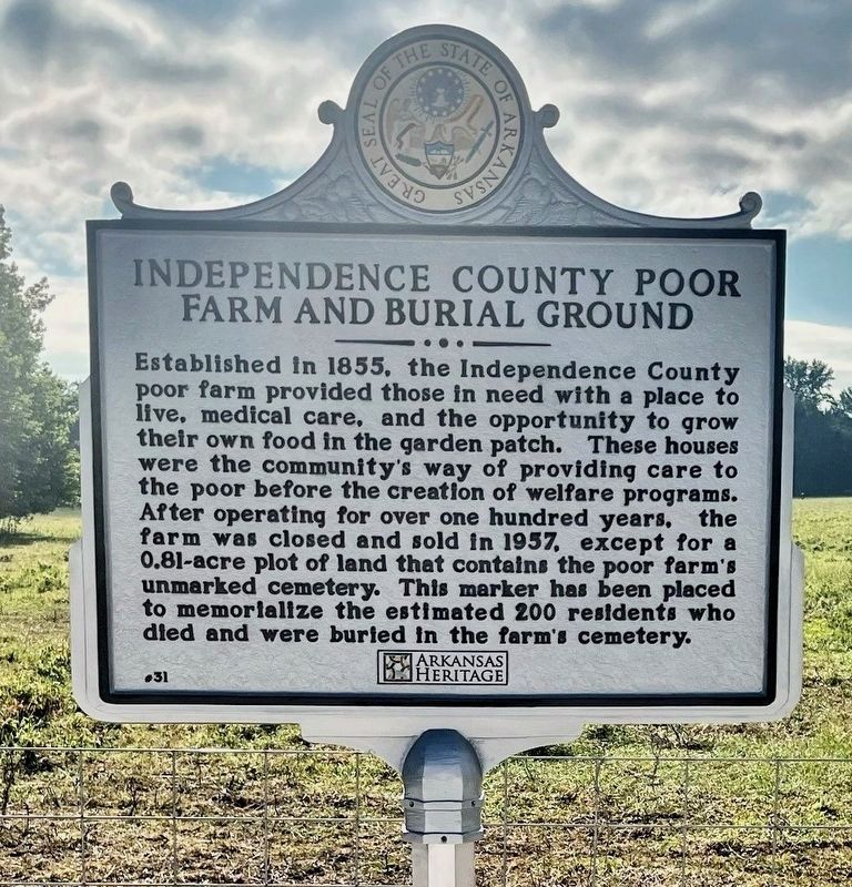
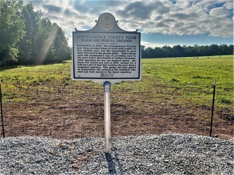
Independence County Poor Farm and Burial Ground
Erected 2023 by Arkansas Heritage; Independence County Quorum Court; Linda Hidy. (Marker Number 31.)
Topics. This historical marker is listed in these topic lists: Agriculture • Cemeteries & Burial Sites • Charity & Public Work. A significant historical year for this entry is 1855.
Location. 35° 46.702′ N, 91° 34.277′ W. Marker is near Batesville, Arkansas, in Independence County. Marker is on Mack Street (Arkansas Route 233) 0.2 miles north of Morris Avenue, on the right when traveling north. Touch for map. Marker is at or near this postal address: 320 Mack Street, Batesville AR 72501, United States of America. Touch for directions.
Other nearby markers. At least 8 other markers are within 4 miles of this marker, measured as the crow flies. Three Governors (approx. 3 miles away); Pfeiffer Community (approx. 3.4 miles away); Col. Morgan Magness (approx. 3.8 miles away); Governor Elisha Baxter (approx. 3.8 miles away); Sara Low Memorial Dog Park (approx. 3.8 miles away); Navigation of the White River (approx. 3.9 miles away); Engine Donor Ark. Lime Co. (approx. 4 miles away); Bethel African Methodist Episcopal Church (approx. 4.1 miles away). Touch for a list and map of all markers in Batesville.
More about this marker. Same narrative on front and back sides of the marker.
Also see . . . Gary B.: Marker placed at county poor farm and burial ground location (White River Now).
Excerpt: A six-year mission to locate the Independence County Poor Farm and Burial Ground has met success, and a historical marker from the Department of Arkansas Heritage has been placed to memorialize the location.(Submitted on June 25, 2023.)
Credits. This page was last revised on June 25, 2023. It was originally submitted on June 23, 2023, by Ashley Sides of Little Rock, Arkansas. This page has been viewed 140 times since then and 53 times this year. Photos: 1. submitted on June 25, 2023. 2. submitted on June 23, 2023, by Ashley Sides of Little Rock, Arkansas. • Andrew Ruppenstein was the editor who published this page.

