
Tilden Township in Ishpeming in Marquette County, Michigan — The American Midwest (Great Lakes)
Italians on the Marquette Iron Range
Photographed by Connor Olson, June 20, 2023
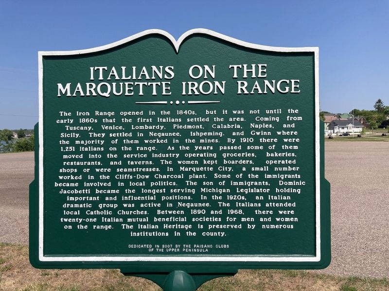
1. Italians on the Marquette Iron Range Marker
The Iron Range opened in the 1840s, but it was not until the early 1860s that the first Italians settled the area. Coming from Tuscany, Venice, Lombardy, Piedmont, Calabria, Naples, and Sicily. They settled in Negaunee, Ishpeming, and Gwinn where the majority of them worked in the mines. By 1910 there were 1,251 Italians on the range. As the years passed some of them moved into the service industry operating groceries, bakeries, restaurants, and taverns. The women kept boarders, operated shops or were seamstresses. In Marquette City, a small number worked in the Cliffs- Dow Charcoal plant. Some of the immigrants became involved in local politics. The son of immigrants, Dominic Jacobetti became the longest serving Michigan Legislator holding important and influential positions. In the 1920s, an Italian dramatic group was active in Negaunee. The Italians attended local Catholic Churches. Between 1890 and 1968, there were twenty-one Italian mutual beneficial societies for men and women on the range. The Italian Heritage is preserved by numerous institutions in the county.
Erected 2007 by Paisano
this page online
Topics. This historical marker is listed in these topic lists: Immigration • Industry & Commerce. A significant historical year for this entry is 1910.
Location. 46° 29.525′ N, 87° 40.558′ W. Marker is in Ishpeming, Michigan, in Marquette County. It is in Tilden Township. It is on West Euclid Street east of Lakeshore Drive, on the right when traveling east. Touch for map. Marker is at or near this postal address: 501 West Euclid Street, Ishpeming MI 49849, United States of America. Touch for directions.

Regionally, this marker is on Michigan’s Upper Peninsula. It is also in the American Midwest and on Lake Superior’s South Shore Region. Globally, it is in North America, in the Great North Woods, on the Great Lakes, in the Western Hemisphere, in the Western World, and in the Anglosphere. Historically, it finds itself in what was once the Viceroyalty of New France and also the Northwest Territory.
Other nearby markers. At least 8 other markers are within 8 miles of this marker, measured as the crow flies: Swedes on the Iron Range (here, next to this marker); Ishpeming: Historic Ski Center
Photographed by Connor Olson, June 20, 2023
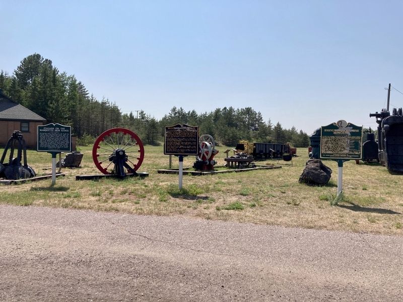
2. Marker can be seen to the left
Credits. This page was last revised on June 24, 2023. It was originally submitted on June 23, 2023, by Connor Olson of Menomonee Falls, Wisconsin. This page has been viewed 348 times since then and 36 times this year. Photos: 1, 2. submitted on June 23, 2023, by Connor Olson of Menomonee Falls, Wisconsin. • J. Makali Bruton was the editor who published this page.
