Midtown - Downtown in Columbia in Richland County, South Carolina — The American South (South Atlantic)
Elmwood Avenue
Photographed by Mike Stroud, 2009
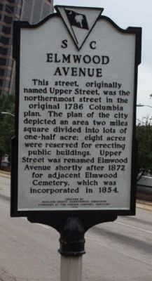
1. Elmwood Avenue Marker
Erected 1978 by Richland County Bicentennial Commission Sponsored By Keenan Company Realtors. (Marker Number 40-68.)
Topics. This historical marker is listed in this topic list: Roads & Vehicles. A significant historical year for this entry is 1872.
Location. Marker has been reported missing. It was located near 34° 0.787′ N, 81° 2.312′ W. Marker was in Columbia, South Carolina, in Richland County. It was in Midtown - Downtown. It was at the intersection of Main Street and Elmwood Avenue (U.S. 76), on the right when traveling north on Main Street. Touch for map. Marker was in this post office area: Columbia SC 29201, United States of America. Touch for directions.

Regionally, this marker was in the Midlands. It was also in the American South and specifically in the Deep South. Globally, it was in North America, the Western Hemisphere, the Western World, and the Anglosphere. Historically, it found itself in what was once the territory of the Mississippian Culture, one of the original Thirteen Colonies, one of the Confederate States of America, and the Antebellum South.
Other nearby markers. At least 8 other markers are within walking distance of this location: Modjeska Simkins House (approx. 0.2 miles away); Richland Street (approx. 0.2 miles away); Ebenezer Lutheran Church (approx. 0.2 miles away); Getting to Know Your Neighbors (approx. ¼ mile away); Jefferson Hotel (approx. ¼ mile away); Time to Collect the Rent (approx.
this page online
Photographed by Mike Stroud, August 16, 2009
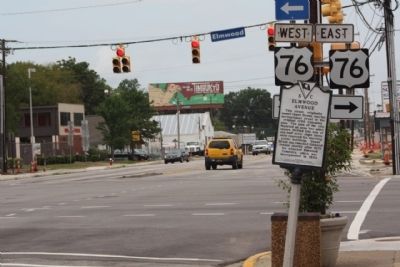
2. Elmwood Avenue Marker, looking north at Main Street intersection
Photographed by Mike Stroud, August 16, 2009
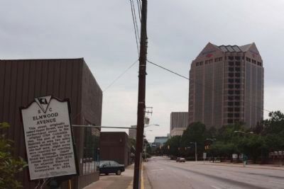
3. Elmwood Avenue Marker, looking southward along Main Street
Photographed by Dave W, May 29, 2023
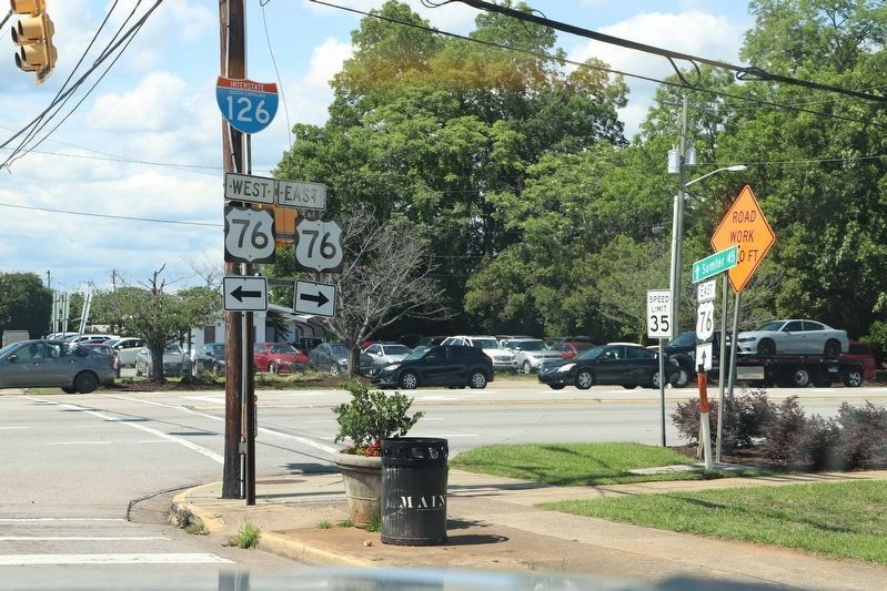
4. Elmwood Avenue Marker
Marking is missing.
Credits. This page was last revised on June 24, 2023. It was originally submitted on August 22, 2009, by Mike Stroud of Bluffton, South Carolina. This page has been viewed 923 times since then and 26 times this year. Last updated on June 23, 2023, by Dave W of Co, Colorado. Photos: 1, 2, 3. submitted on August 22, 2009, by Mike Stroud of Bluffton, South Carolina. 4. submitted on June 23, 2023, by Dave W of Co, Colorado. • Bill Pfingsten was the editor who published this page.
